- Usage in publication:
-
- Guelph Dolomite
- Modifications:
-
- Overview
- AAPG geologic province:
-
- Appalachian basin
Summary:
Lockport Group in this report is considered Late Silurian following Rickard (1975) as the NY Geological Survey does not recognize Middle Silurian as does the USGS. The revisions to the Lockport nomenclature discussed in this report will be formally proposed by C.E. Brett in a larger study of the Niagaran Series. The Lockport Group is divided into the (ascending) Gasport Limestone, the Goat Island Dolomite, the Eramosa Dolomite, and the Guelph Dolomite. The term Guelph Dolomite as used by Brett and others in the Niagara region constitutes what has previously been termed the upper part of the Oak Orchard Dolomite. The USGS Grand Island core includes the entire Guelph Dolomite, but outcrops are scarce. The Guelph underlies the Vernon Shale of the Salina Group. The Gasport includes the Gothic Hill and Pekin Members, and the Goat Island includes the Niagara Falls, Ancaster, and Vinemount Members. [Though three of the authors of this report (Tepper, Kappel, and Yager) are USGS scientists, the nomenclature used here has not been officially accepted for use by the USGS.]
Source: GNU records (USGS DDS-6; Reston GNULEX).

- Usage in publication:
-
- Guelph Dolomite*
- Modifications:
-
- Revised
- Redescribed
- Dominant lithology:
-
- Dolomite
- Shale
- AAPG geologic province:
-
- Appalachian basin
Summary:
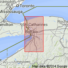
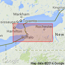
The Guelph Dolomite of the Lockport Group is revised to include strata at its base that was formerly assigned as the upper part of the Oak Orchard Dolomite of the Lockport Group or the Oak Orchard Member of the Lockport Formation by Zenger (1965). The Oak Orchard is abandoned in this report. This revision allows for uniformity in nomenclature and stratigraphy for this interval with Ontario, CAN. Consists of medium-gray to dark-gray, light-gray to tan weathering, laminated, fine-grained, commonly oolitic dolomite. Formation is divided into three informal units. Unit A consists of very light gray, fine-grained, stromatolitic dolomite and is marked by a distinctive biostromal bed. Unit B is a 4 to 6 foot thick interval of contorted, dark-gray, laminated, oolitic dolomite with black shale partings, and includes a middle zone of uniform, medium bluish-gray, oolitic dolomite with thin, dark shaly partings and beds with dolomicrite intraclasts. Unit C forms a transition zone between the Guelph and the overlying Vernon Shale and is similar to unit B, but contains vugs and interbedded zones of fine-grained, olive-gray to greenish-gray, argillaceous dolomite and thin, black or dark-gray, shaly partings. In Ontario, CAN the Guelph is between 200 and 300 feet thick, however, only a thin wedge of the formation extends into the Niagara Co. region of western NY where it is 33 to 36 feet thick in the subsurface. Overlies the Eramosa Dolomite of the Lockport Group and conformably underlies the Vernon Shale of the Salina Group. The Guelph-Vernon contact is placed at the base of the first black shale bed that is greater than 1 inch thick (this horizon may no be equivalent in all sections). The Guelph is of Late Silurian (late Ludlovian) age based on conodonts. [Report uses Silurian time scale of Harland and others (1982).]
Source: GNU records (USGS DDS-6; Reston GNULEX).
For more information, please contact Nancy Stamm, Geologic Names Committee Secretary.
Asterisk (*) indicates published by U.S. Geological Survey authors.
"No current usage" (†) implies that a name has been abandoned or has fallen into disuse. Former usage and, if known, replacement name given in parentheses ( ).
Slash (/) indicates name conflicts with nomenclatural guidelines (CSN, 1933; ACSN, 1961, 1970; NACSN, 1983, 2005, 2021). May be explained within brackets ([ ]).

