The National Geologic Map Database is migrating to a new infrastructure. We apologize for any service disruptions during this process.
|
|---|


- Usage in publication:
-
- Guaracanal Andesite*
- Modifications:
-
- Named
- Dominant lithology:
-
- Andesite
- AAPG geologic province:
-
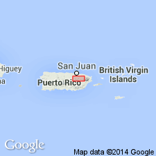
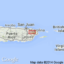
- Caribbean region
Summary:
The Guaracanal Andesite, here named, was previously called the Figuera Volcanics by Kaye (1959)on the basis of correlation with andesite flow rocks south of Fajardo named the Figuera Formation by Meyerhoff and Smith (1931). Paleontologic evidence shows that this correlation is invalid (Paleocene rather than Cretaceous) and the Figuera of Kaye's usage is here abandoned [not abandoned in type locality]. Consists of massive coarse-grained purplish-gray breccia and lava breccia. Overlies the Guaynabo Formation unconformably and the Monacillo Formation conformably. Thickness is 600 m. Limestone lenses at base resemble the Trujillo Alto Limestone Member of the Monacillo. Age is Paleocene based on Foraminifera.
Source: GNU records (USGS DDS-6; Reston GNULEX).
- Usage in publication:
-
- Guaracanal Formation*
- Modifications:
-
- Revised
- AAPG geologic province:
-
- Caribbean region
Summary:
The Guaracanal Andesite is here redefined to Guaracanal Formation in the Gurabo quadrangle because only a small part of the section here is volcanic, and that part is basaltic rather than andesitic.
Source: GNU records (USGS DDS-6; Reston GNULEX).

- Usage in publication:
-
- Guaracanal Formation*
- Modifications:
-
- Age modified
- AAPG geologic province:
-
- Caribbean region
Summary:
The Guaracanal Formation occurs in eastern Puerto Rico and consists of volcanic breccia with lava or tuff intergrades. Locally includes limestone at base. Maximum estimated thickness is 125 meters. The age of the Guaracanal is changed to Late Cretaceous and early Paleogene.
Source: GNU records (USGS DDS-6; Reston GNULEX).
For more information, please contact Nancy Stamm, Geologic Names Committee Secretary.
Asterisk (*) indicates published by U.S. Geological Survey authors.
"No current usage" (†) implies that a name has been abandoned or has fallen into disuse. Former usage and, if known, replacement name given in parentheses ( ).
Slash (/) indicates name conflicts with nomenclatural guidelines (CSN, 1933; ACSN, 1961, 1970; NACSN, 1983, 2005, 2021). May be explained within brackets ([ ]).