

- Usage in publication:
-
- Grindstaff sandstone member*
- Modifications:
-
- Original reference
- Dominant lithology:
-
- Sandstone
- AAPG geologic province:
-
- Illinois basin
Summary:
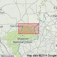
Pg. 44. Grindstaff sandstone member of Tradewater formation. Coarse gray quartzose and conglomeratic sandstone, 40 to 60 feet thick, lying 30 to 40 feet above Caseyville sandstone in Equality and Shawneetown quadrangles, southeastern Illinois. Prominently displayed in Grindstaff Hollow, northeast corner of sec. 28, T. 10 S., R. 8 E., Equality quadrangle. Extends at least 1.5 miles into Shawneetown quadrangle. Lies 5 feet below Willis coal (Bell?). Age is Pennsylvanian.
Source: US geologic names lexicon (USGS Bull. 896, p. 881).
- Usage in publication:
-
- Grindstaff formation
- Modifications:
-
- Revised
- AAPG geologic province:
-
- Illinois basin
Summary:
Pg. 40. Grindstaff formation. Rank raised to formation in Tradewater group. Underlies Delwood formation (new). Age is Pennsylvanian.
[GNC remark (ca. 1966, US geologic names lexicon, USGS Bull. 1200, p. 1618): USGS has discontinued use of the name Tradewater in Illinois.]
Source: US geologic names lexicon (USGS Bull. 1200, p. 1618).

- Usage in publication:
-
- Grindstaff sandstone member*
- Modifications:
-
- Revised
- AAPG geologic province:
-
- Illinois basin
Summary:
Pg. 31, 44 (table 1), 62. Grindstaff sandstone member of Abbott formation (new) of McCormick group (new). Rank reduced to member in Abbott formation. Thickness about 50 feet in type section of Abbott. Occurs above Reynoldsburg coal member and below Willis coal member (both new). Age is Middle Pennsylvanian. Presentation of new rock-stratigraphic classification of Pennsylvanian strata in Illinois.
[GNC remark (ca. 1966, US geologic names lexicon, USGS Bull. 1200, p. 1618): USGS has discontinued use of the name Tradewater in Illinois.]
Source: US geologic names lexicon (USGS Bull. 1200, p. 1618).
- Usage in publication:
-
- Grindstaff Sandstone Member*
- Modifications:
-
- Areal extent
- AAPG geologic province:
-
- Illinois basin
Summary:
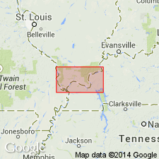
Grindstaff Sandstone Member of Tradewater Formation extended into KY.
Source: GNU records (USGS DDS-6; Reston GNULEX).

- Usage in publication:
-
- Grindstaff Sandstone Member
- Modifications:
-
- Not used
- AAPG geologic province:
-
- Illinois basin
Summary:
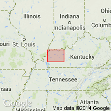
No sandstone in the present study area can be traced to the Grindstaff Sandstone Member of the fluorspar district. According to authors, the lower Abbott sandstones here are too discontinuous to warrant formal naming and most are discussed as unnamed lentils. One, however, is given the informal name Ozark sandstone lentil.
Source: GNU records (USGS DDS-6; Reston GNULEX).
For more information, please contact Nancy Stamm, Geologic Names Committee Secretary.
Asterisk (*) indicates published by U.S. Geological Survey authors.
"No current usage" (†) implies that a name has been abandoned or has fallen into disuse. Former usage and, if known, replacement name given in parentheses ( ).
Slash (/) indicates name conflicts with nomenclatural guidelines (CSN, 1933; ACSN, 1961, 1970; NACSN, 1983, 2005, 2021). May be explained within brackets ([ ]).