- Usage in publication:
-
- Greenvale Cove Formation
- Modifications:
-
- Original reference
- Dominant lithology:
-
- Metashale
- Metasiltstone
- Metasandstone
- AAPG geologic province:
-
- New England province
Moench, R.H., 1969, The Quimby and Greenvale Cove Formations in western Maine: U.S. Geological Survey Bulletin, 1274-L, p. L1-L17.
Summary:
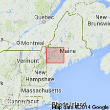
Pg. L4-L5 (fig. 2), L8-L9 (fig. 3), L12-L14. Greenvale Cove Formation. Rocks previously included in "northern argillite" by E.S.C. Smith (Amer. Jour. Sci., 5th ser., v. 5, 1923). Consists of light-colored interlaminated metashale, metasiltstone, and metasandstone. Thickness up to 600+/- feet. Conformably underlies Rangeley Formation and overlies Quimby Formation (new). Considered Upper Ordovician(?) based on stratigraphic relations.
Type locality: exposures along northeast shore of Greenvale Cove at east end of Rangeley Lake, Rangeley quadrangle, Franklin Co., central western ME.
Source: Publication; US geologic names lexicon (USGS Bull. 1520, p. 124).

- Usage in publication:
-
- Greenvale Cove Formation*
- Modifications:
-
- Age modified
- AAPG geologic province:
-
- New England province
Summary:
Age changed from Late Ordovician(?) to Silurian(?). Lithic and sequential similarity to fossiliferous Aroostook River Formation basis for age change.
Source: GNU records (USGS DDS-6; Reston GNULEX).

- Usage in publication:
-
- Greenvale Cove Formation*
- Modifications:
-
- Revised
- Areal extent
- AAPG geologic province:
-
- New England province
Summary:
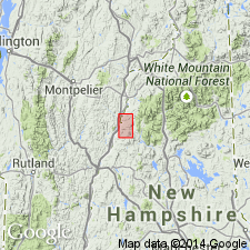
Stratigraphy differs radically from that of Hadley (1942, 1950), White and Billings (1952), in Mt. Cube and Woodsville 15-min quads, respectively, and revisions of Rumble (1942) east of Connecticut River. Fundamental difference is that Moench recognizes seven formations (plus members) that constitute Piermont allochthon. Hadley (1942) mapped all of these as Albee Formation, a name not used in this report. Rocks previously mapped as Albee are reassigned to stratigraphic equivalents of Quimby (Upper Ordovician?), Greenvale Cove (Lower Silurian), Rangeley (Lower Silurian), Perry Mountain (Silurian), Smalls Falls (Upper Silurian), Madrid (Upper Silurian?), and Littleton (Lower Devonian) Formations, whose type localities, except for Littleton, are near Rangeley, ME (Moench and Boudette, 1987). In the allochthon, Greenvale Cove Formation is about 200 m thick. Consists of schist and calc-silicate rock. Report includes geologic map and correlation chart.
Source: GNU records (USGS DDS-6; Reston GNULEX).

- Usage in publication:
-
- Greenvale Cove Formation*
- Modifications:
-
- Age modified
- AAPG geologic province:
-
- New England province
Summary:
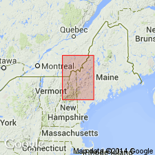
In Bronson Hill-Boundary Mountains anticlinorium, correlates with rocks at type locality (Moench, 1969) on basis of lithologic similarity and position above Quimby Formation. In western sequence of central Maine trough, age refined because of early Llandoverian age assigned by Moench and Pankiwskyj (1988), which was based on long-distance correlation with fossiliferous Aroostook River Formation of northern ME (Roy and Mencher, 1976). Ordovician (Cincinnatian) age is not ruled out, but is unlikely because basal volcanic rock of underlying Quimby Formation has yielded an age of 444 Ma with an error margin overlapping Ordovician-Silurian time boundary.
Source: GNU records (USGS DDS-6; Reston GNULEX).

- Usage in publication:
-
- Greenvale Cove Formation*
- Modifications:
-
- Overview
- AAPG geologic province:
-
- New England province
Summary:
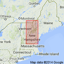
Used as Early Silurian(?) Greenvale Cove Formation. Consists of grayish-violet interlaminated metashale, feldspathic metasandstone, and calc-silicate rock of Piermont allochthon of western NH. Report includes geologic map, cross sections, correlation chart, and four 1:500,000-scale derivative maps.
Source: GNU records (USGS DDS-6; Reston GNULEX).
For more information, please contact Nancy Stamm, Geologic Names Committee Secretary.
Asterisk (*) indicates published by U.S. Geological Survey authors.
"No current usage" (†) implies that a name has been abandoned or has fallen into disuse. Former usage and, if known, replacement name given in parentheses ( ).
Slash (/) indicates name conflicts with nomenclatural guidelines (CSN, 1933; ACSN, 1961, 1970; NACSN, 1983, 2005, 2021). May be explained within brackets ([ ]).

