- Usage in publication:
-
- Great Smoky conglomerate*
- Modifications:
-
- Named
- Dominant lithology:
-
- Conglomerate
- Sandstone
- Quartzite
- Graywacke
- Schist
- AAPG geologic province:
-
- Appalachian basin
Summary:
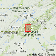
Great Smoky conglomerate is named for its extensive development in the Great Smoky Mountains of TN, NC, and GA. Consists of conglomerate, sandstone, quartzite, graywacke, mica-schist, garnet schist, and slate. Original character of beds is plainest in the conglomerates, whose layers are 1 to 50 ft thick. All of the rocks except the slate have a decided gray color, becoming whitish on exposure and weathering of their feldspar. The conglomerate pebbles are not often coarse and seldom exceed half an in. in length. From this they grade into coarse and fine sandstone, quartzites, and graywackes. Traced southward less and less conglomerate is found. There is always a heavy bed at top, however, and usually several near base. Interbedded with the coarse rocks are numerous seams and beds of light- and dark-gray schist and darker slate, usually less than a foot thick, but in places 25 or 30 ft thick. Thickness of formation 5,500 to 6,000 ft. Underlies Nantahala slate and overlies Hiwassee slate.
Source: GNU records (USGS DDS-6; Reston GNULEX).
- Usage in publication:
-
- Great Smoky Group
- Modifications:
-
- Overview
- AAPG geologic province:
-
- Appalachian basin
Summary:
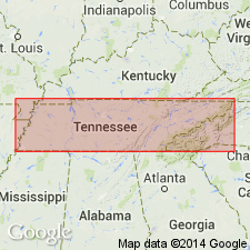
Great Smoky Group of Ocoee Supergroup in Great Smoky Mountains region consists of Elkmont Sandstone, Thunderhead Sandstone, Anakeesta Formation, and an unnamed sandstone unit, all separately mapped. In Ducktown area, consists of Copperhill, Hughes Gap, Hothouse, and Dean Formations, all mapped as one unit, undivided. Age is Precambrian.
Source: GNU records (USGS DDS-6; Reston GNULEX).
- Usage in publication:
-
- Great Smoky Group*
- Modifications:
-
- Areal extent
- Overview
- Dominant lithology:
-
- Metasandstone
- Schist
- Phyllite
- AAPG geologic province:
-
- Appalachian basin
- Piedmont-Blue Ridge province
Summary:
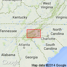
Included in Ocoee Series. Mapped undivided in southwestern quadrant of quadrangle from southern Great Smoky Mountains National Park southwest to Ogden and Hanging Dog Mountain; patches are present in central part of quad around town of Panther Creek, and a large swath extends from northeast part of quad in Pisgah National Forest southwest towards Brevard, finally thinning and disappearing at Musterground Mountain in Pickens Co., SC. Consists largely of medium- to thick-bedded, feldspathic metasandstone with interbeds of feldspathic quartz-mica schist or gray phyllite; includes local beds of quartz-feldspar pebble conglomerate, graphitic and sulfidic mica schist, and garnet-mica schist, kyanite- or sillimanite-bearing garnet-mica schist, and rare thin interbeds of garnet-hornblende-quartz-feldspar granofels (pseudodiorite of Keith); metasandstone is generally more abundant and thicker towards the northwest. Elsewhere, Anakeesta Formation, Thunderhead Sandstone, and Elkmont Sandstone of Great Smoky Group are separately mapped. Age is late Precambrian.
Source: GNU records (USGS DDS-6; Reston GNULEX).
- Usage in publication:
-
- Great Smoky Group
- Modifications:
-
- Overview
- AAPG geologic province:
-
- Piedmont-Blue Ridge province
Summary:
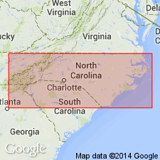
Correlation chart (fig. 2) shows the following relations. The Great Smoky Group in western NC consists of five formations (ascending): Thunderhead, Anakeesta, Grassy Branch (new name), Ammons (new name), and Dean Formations (chart implies that Dean and top of Ammons are time equivalent). Grassy Branch Formation is applied to unnamed beds mapped by King and others (1958) above Anakeesta Formation. In relation to Great Smoky Group mapped by Hurst (1955) in Mineral Bluff quad, GA, Anakeesta correlates with Copperhill Formation, Grassy Branch correlates with Hughes Gap Formation, and Ammons correlates with Hothouse and Dean Formations.
Source: GNU records (USGS DDS-6; Reston GNULEX).
- Usage in publication:
-
- Great Smoky Group
- Modifications:
-
- Revised
- AAPG geologic province:
-
- Appalachian basin
Summary:
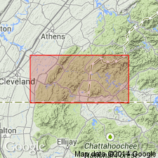
Great Smoky Group east of Greenbrier fault in eastern TN revised to include Boyd Gap Formation (new), Buck Bald Formation (first used), and Farner Formation (first used). Boyd Gap crops out between conglomeratic Buck Bald and schistose Farner. Facing criteria indicate that Boyd Gap is older than Buck Bald. Facing criteria around Boyd Gap-Farner contact are inconclusive and stratigraphic positions are uncertain. At least part of Boyd Gap correlates with Hughes Gap Formation, also of Great Smoky Group. Report includes geologic map.
Source: GNU records (USGS DDS-6; Reston GNULEX).
- Usage in publication:
-
- Great Smoky Group
- Modifications:
-
- Overview
- Revised
- AAPG geologic province:
-
- Piedmont-Blue Ridge province
Summary:
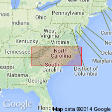
Great Smoky Group of Ocoee Supergroup includes the following units in the Blue Ridge belt of western NC: Rich Butt Sandstone (here assigned); Boyd Gap Formation; Anakeesta Formation; unnamed phyllite; Copperhill Formation (with separately mapped unnamed slate member); Wehutty Formation; metasandstone, metagraywacke, metasiltstone, and mica schist that includes Hughes Gap and Hothouse Formations in the southern area and Horse Branch Member of Ammons Formation and Grassy Branch Formation in northern area; and Dean Formation. Age is Late Proterozoic.
Source: GNU records (USGS DDS-6; Reston GNULEX).

- Usage in publication:
-
- Great Smoky Group*
- Modifications:
-
- Revised
- AAPG geologic province:
-
- Piedmont-Blue Ridge province
Summary:
Great Smoky Group of the Ocoee Supergroup in the Bill Arp thrust sheet in GA includes the Frolona and Bill Arp Formations in the Austell-Frolona anticlinorium, the Ola and Kalves Creek Formations in the Ola anticlinorium, the Richard Russell Gneiss in the Richard Russell thrust slice, the Copperhill, Wehutty, Hughes Gap, Hothouse, and Dean Formations in the Murphy synclinorium. Age is Late Proterozoic.
Source: GNU records (USGS DDS-6; Reston GNULEX).
- Usage in publication:
-
- Great Smoky Group
- Modifications:
-
- Revised
- AAPG geologic province:
-
- Piedmont-Blue Ridge province
Summary:
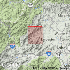
Metasedimentary rocks of Little Sandymush Bald region are here assigned to Late Proterozoic Snowbird Group of Ocoee Supergroup. These rocks were previously part of Great Smoky Group Of Ocoee Supergroup (North Carolina Geological Survey, 1985; Hadley and Nelson, 1971) or to Great Smoky Conglomerate and Hiwassee Slate (Keith, 1904). Reassignment is necessary because (1) graded beds of metagraywacke and graphitic schist or slate, very common in Great Smoky Group, are rare to virtually absent in Little Sandymush Bald area; (2) tourmaline, which is very abundant in Great Smoky Group (Hadley and Goldsmith, 1963), is rare in this area; and 3) at many nearby places, it is Snowbird Group, not Great Smoky Group, that overlies granitic "Basement" rocks, as is the case here. In the Little Sandymush Bald area, data are insufficient to subdivide the Snowbird Group, but the rocks most likely correlate with Wading Branch Formation.
Source: GNU records (USGS DDS-6; Reston GNULEX).
- Usage in publication:
-
- Great Smoky Group
- Modifications:
-
- Overview
- AAPG geologic province:
-
- Piedmont-Blue Ridge province
Summary:
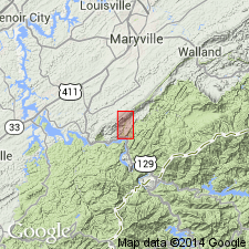
New microfossil discoveries in the Little Tennessee River Valley indicate age of Walden Creek Group is Late Devonian to earliest Mississippian, and therefore related to the Acadian Orogeny. Fossils have been found along the entire outcrop belt of the Walden Creek Group from Hot Springs, NC, to the Ocoee River Gorge, TN. A conformable contact between the Walden Creek Group and the Great Smoky Group implies that the Great Smoky and possibly the entire Ocoee Supergroup are also Paleozoic. Great Smoky Group is here tentatively correlated with the Silurian and Early Devonian Lay Dam Formation of AL.
Source: GNU records (USGS DDS-6; Reston GNULEX).
- Usage in publication:
-
- Great Smoky Group*
- Modifications:
-
- Areal extent
- AAPG geologic province:
-
- Piedmont-Blue Ridge province
Summary:
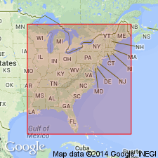
Hadley and Nelson (1971) mapped a large area northeast and east of Asheville, NC, as Great Smoky Group of Ocoee Supergroup. These rocks interfinger to the northeast with amphibolitic rocks in the Spruce Pine area, correlated by Rankin (1979) with Ashe Formation (as here revised to include only those rocks stratigraphically(?) below Alligator Back Formation). Rocks of the Great Smoky Group as mapped by Hadley and Nelson (1971) and rocks of the Spruce Pine area contain lenses of ultramafic rocks. Rankin (1975) noted that southwest of Grandfather Mountain window, amphibolites and ultramafic bodies in Blue Ridge tectonic province are restricted to southeast side of hypothesized fault (later named Hayesville fault by Hatcher, 1978). Hayesville fault is now thought to be a major tectonic boundary in southern Appalachians, carrying Jefferson terrane over Laurentia. Therefore, the Ocoee Supergroup rocks should not extend southeast of (or above) Hayesville fault. Report includes geologic maps, correlation chart, and isotopic data.
Source: GNU records (USGS DDS-6; Reston GNULEX).
- Usage in publication:
-
- Great Smoky Group*
- Modifications:
-
- Revised
- AAPG geologic province:
-
- Piedmont-Blue Ridge province
Summary:
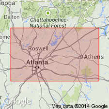
Bill Arp Formation cannot be definitely correlated with Great Smoky Group in Great Smoky Mountains in TN and NC; therefore, it is removed from the Great Smoky Group. It probably also should be removed from Ocoee Supergroup, but little evidence exists for or against its removal from the Ocoee. Frolona Formation removed from Great Smoky Group and from Ocoee Supergroup. Frolona consists of graphitic to very graphitic schist with small kyanite crystals and fairly abundant, discontinuous clean quartzite lenses; less common, but important because they link Frolona to Corbin Metagranite (Allatoona Complex) basement and to Nantahala Formation, are discontinuous lenses of metaconglomerate that contain blue quartz and orthoclase feldspar granules or pebbles and chips of dark graphitic schist. Kalves Creek Formation (similar but not identical to Ola Formation) is removed from the Great Smoky Group and reduced in rank as a member of the Stonewall Gneiss. Ola Formation of Great Smoky Group is abandoned because detailed mapping has shown it to be the same as Stonewall Gneiss.
Source: GNU records (USGS DDS-6; Reston GNULEX).
For more information, please contact Nancy Stamm, Geologic Names Committee Secretary.
Asterisk (*) indicates published by U.S. Geological Survey authors.
"No current usage" (†) implies that a name has been abandoned or has fallen into disuse. Former usage and, if known, replacement name given in parentheses ( ).
Slash (/) indicates name conflicts with nomenclatural guidelines (CSN, 1933; ACSN, 1961, 1970; NACSN, 1983, 2005, 2021). May be explained within brackets ([ ]).

