

- Usage in publication:
-
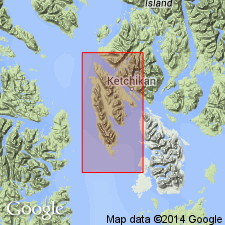
- Gravina Island Formation*
- Modifications:
-
- Named
- Biostratigraphic dating
- Dominant lithology:
-
- Phyllite
- Metavolcanics
- Conglomerate
- Sandstone
- AAPG geologic province:
-
- Alaska Southeastern region
Summary:
Unit is named the Gravina Island Formation. Divided [structurally] into lower, middle, and upper members, all intertonguing. Lower consists of phyllitic detrital and minor metavolcanic rocks. Middle member consists of andesitic and subordinate basaltic metavolcanic rocks. Upper member consists of phyllitic conglomerate, grit, and sandstone. Structural position inferred to reflect stratigraphic position. Thickness not determined; outcrop width 6 mi, but doubtless includes repetitions. Neither base nor top exposed. Bounded on southwest by alluvium-covered fault zone; northeast boundary exposed east of Tongass Narrows [not shown on map, nor described]. Fauna described (with D.L. Jones) provides basis for assigning Middle or Late Jurassic age.
Source: GNU records (USGS DDS-6; Menlo GNULEX).
- Usage in publication:
-
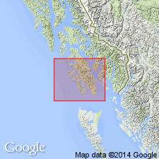
- Gravina Island Formation*
- Modifications:
-
- Age modified
- AAPG geologic province:
-
- Alaska Southeastern region
Summary:
Age of the Gravina Island Formation is revised from Middle or Late Jurassic to: Late Jurassic and Early Cretaceous (everywhere).
Source: GNU records (USGS DDS-6; Menlo GNULEX).
For more information, please contact Nancy Stamm, Geologic Names Committee Secretary.
Asterisk (*) indicates published by U.S. Geological Survey authors.
"No current usage" (†) implies that a name has been abandoned or has fallen into disuse. Former usage and, if known, replacement name given in parentheses ( ).
Slash (/) indicates name conflicts with nomenclatural guidelines (CSN, 1933; ACSN, 1961, 1970; NACSN, 1983, 2005, 2021). May be explained within brackets ([ ]).