- Usage in publication:
-
- Grainger shale*
- Modifications:
-
- Original reference
- Dominant lithology:
-
- Shale
- Sandstone
- AAPG geologic province:
-
- Appalachian basin
Summary:
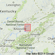
Pg. 3; 1895, Phil. Soc. Wash. Bull., no. 12, p. 74, 78, pl. 1. Grainger shale. Sandy shales and shaly and flaggy sandstones, the latter more numerous in upper layers. Two miles northwest of Mooresburg a thin bed of quartz conglomerate lies at top of series. All beds bluish gray when fresh, and weather green and greenish gray. In bottom flags are many impressions of supposed seaweed SPRIOPHYTON CAUDA-GALLI. Thickness varies from 1,200 feet in Clinch basin to 400 feet in Powell basin. Of Devonian age. Overlies Chattanooga shale and underlies Newman limestone in Tennessee Valley.
[GNC remark (ca. 1936, US geologic names lexicon, USGS Bull. 896, p. 849-850): Above is first definition of formation in its type area. The name, however, first appeared in print in 1893 (M.R. Campbell, USGS Bull. 111, p. 38), in a description of the rocks of Big Stone Gap coal field of southwestern Virginia with those in Morristown quadrangle. In southwestern Virginia the formation was described as consisting of 410 feet of shales, varying from red Calcareous sandstones at top to ash-colored micaceous shales below, finally merging into underlying Chattanooga black shale and overlain by Newman limestone. "The age of this mass of sandy shales has never been determined; they have somewhat the appearance of a transition bed between the Devonian below and the Mississippian above, but in this paper they are regarded, provisionally, as of Devonian age." The name was also used by Campbell in USGS Estillville folio, no. 12, published in 1894, and by Keith in Knoxville folio, no. 16, published in 1895, for the shales and sandstones underlying Newman limestone and overlying Chattanooga shale.]
[Named from Grainger Co., northeastern TN.]
Source: US geologic names lexicon (USGS Bull. 896, p. 849-850).

- Usage in publication:
-
- Grainger formation
- Modifications:
-
- Age modified
- AAPG geologic province:
-
- Appalachian basin
Summary:
Pg. 4. Fossils found in Grainger formation to northeast indicated upper part is Carboniferous, while a Devonian age for its lower portion is indicated by its interbedding with Chattanooga shale.
Source: US geologic names lexicon (USGS Bull. 896, p. 849-850).

- Usage in publication:
-
- Grainger shale*
- Modifications:
-
- Overview
- AAPG geologic province:
-
- Appalachian basin
Summary:
According to E.O. Ulrich and C. Butts, also J.H. Swartz, 1924 (Amer. Jour. Sci., 5th ser., v. 7, p. 28) and 1929 (Amer. Jour. Sci., 5th ser., v. 17, p. 441) the typical Grainger shale of Tennessee is all of Mississippian age.
Source: US geologic names lexicon (USGS Bull. 896, p. 849-850).

- Usage in publication:
-
- Grainger Formation*
- Modifications:
-
- Redescribed
- Dominant lithology:
-
- Siltstone
- Sandstone
- AAPG geologic province:
-
- Appalachian basin
Summary:
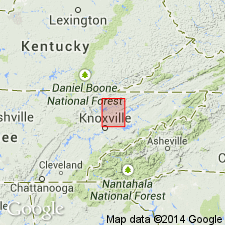
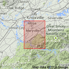
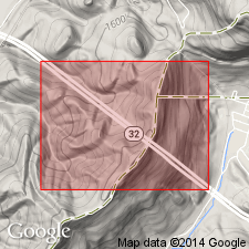
Designated Grainger Formation. Lower three-fourths is monotonous sequence of gray and blue-gray noncalcareous siltstone and fine-grained sandstone. The upper part is coarser grained and thicker bedded. Fine to coarse-grained dull-gray to blue-gray feldspathic sandstone in 1-3 ft thick beds that are commonly cross-bedded is most abundant, with interbedded layers of pebble conglomerate 1/2-2 ft thick containing 1/2-1 inch rounded quartz pebbles. A few beds are fossiliferous ferruginous sandy limestone. Thickness about 1100 ft. Underlain by Chattanooga Shale; overlain by Greasy Cove Formation. Age is Early Mississippian.
Source: GNU records (USGS DDS-6; Reston GNULEX).

- Usage in publication:
-
- Grainger Formation
- Modifications:
-
- Revised
- AAPG geologic province:
-
- Cincinnati arch
Summary:
Floyds Knob Bed marks the top of the Grainger Formation and is included within it.
Source: GNU records (USGS DDS-6; Reston GNULEX).
For more information, please contact Nancy Stamm, Geologic Names Committee Secretary.
Asterisk (*) indicates published by U.S. Geological Survey authors.
"No current usage" (†) implies that a name has been abandoned or has fallen into disuse. Former usage and, if known, replacement name given in parentheses ( ).
Slash (/) indicates name conflicts with nomenclatural guidelines (CSN, 1933; ACSN, 1961, 1970; NACSN, 1983, 2005, 2021). May be explained within brackets ([ ]).

