- Usage in publication:
-
- Golmeyer Creek Volcanics
- Modifications:
-
- Named
- Geochronologic dating
- Dominant lithology:
-
- Andesite
- Breccia
- AAPG geologic province:
-
- Montana folded belt
Summary:
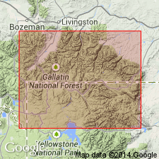
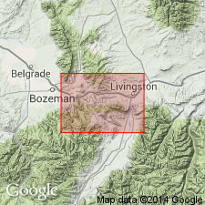
Named (no type locality designated) for exposures principally along Golmeyer and Dry Creek, Fridley Peak quad, Gallatin and Park Cos., MT in the Montana folded belt province. Exposed over 12 sq mi. Consists of four andesite flows: 1) and 2) augite andesite, 3) hornblende-augite andesite, and 4) augite-hypersthene-hornblende andesite. Volcanic breccia intercalated between the flows. The breccias contain black, gray, tan, green, and purple andesite and dacitic, angular to subround clasts that range to as much as 6 in, and locally 4 ft in diameter. The clasts exhibit varying degrees of oxidation, vesicularity, and alteration--principally kaolinization, chloritization, and hematization. Base is nowhere exposed. Is more than 2,000 ft thick. Is unconformably overlain by Hyalite Peak Volcanics (new). Representative section measured along ridge between Golmeyer and Dry Creeks, NW1/4 sec 4 through secs 10 and 11 to SE1/4 sec 2, T6S, R7E. Crude stratification and thin, well-stratified lenses within poorly stratified units suggest mudflow and fluvial deposition. "Emigrant Peak complex" suggested as source. Is an Eocene unit. K-Ar age of 53.5 +/-2.3 m.y. obtained from biotite.
Source: GNU records (USGS DDS-6; Denver GNULEX).

- Usage in publication:
-
- Golmeyer Creek Volcanics*
- Modifications:
-
- Overview
- Adopted
- AAPG geologic province:
-
- Montana folded belt
Summary:
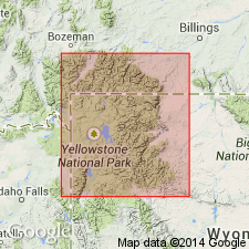
A name applied to a sequence of several thousand ft of andesitic flows, flow breccias, mudflows, and lahars in the central Gallatin Range, Gallatin and Park Cos, MT, adopted. Overlies Cathedral Cliffs? Formation. Cathedral Cliffs? and Golmeyer Creek Volcanics of this report were referred to as early acid breccia by Hague (1899). Is not present at Maxey Ridge at north end of Gallatin range. Assigned an Eocene age.
Source: GNU records (USGS DDS-6; Denver GNULEX).

- Usage in publication:
-
- Golmeyer Creek Volcanics*
- Modifications:
-
- Revised
- AAPG geologic province:
-
- Montana folded belt
Summary:
Is the oldest unit (early Eocene) assigned to the newly named Washburn Group of Absaroka Volcanic Supergroup known in the northeastern part of the Gallatin Range, where it underlies Hyalite Peak Volcanics, also of Washburn Group.
Source: GNU records (USGS DDS-6; Denver GNULEX).
For more information, please contact Nancy Stamm, Geologic Names Committee Secretary.
Asterisk (*) indicates published by U.S. Geological Survey authors.
"No current usage" (†) implies that a name has been abandoned or has fallen into disuse. Former usage and, if known, replacement name given in parentheses ( ).
Slash (/) indicates name conflicts with nomenclatural guidelines (CSN, 1933; ACSN, 1961, 1970; NACSN, 1983, 2005, 2021). May be explained within brackets ([ ]).

