- Usage in publication:
-
- Lower Coal Measures (Gizzard Portion)
- Modifications:
-
- Original reference
- Dominant lithology:
-
- Shale
- Sandstone
- Coal
- AAPG geologic province:
-
- Cincinnati arch
Safford, J.M., 1869, Geology of Tennessee: Nashville, TN, 550 p.
Summary:
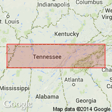
Pg. 369-370. Lower Coal Measures (Gizzard Portion). Alternating shales, sandstones, and coals, 228 feet thick, overlying Mountain limestone and separated from overlying Upper Coal Measures by 70 feet of conglomerate [Sewanee conglomerate].
Source: US geologic names lexicon (USGS Bull. 896, p. 823).

- Usage in publication:
-
- Gizzard formation*
- Modifications:
-
- Overview
- AAPG geologic province:
-
- Appalachian basin
- Cincinnati arch
Summary:
Gizzard formation of Lee group. Basal formation of Lee group in central Tennessee. Unconformably overlies Pennington shale (Mississippian). Underlies Sewanee conglomerate. Age is Pennsylvanian.
Named from Little Fiery Gizzard Creek, Marion Co., central TN.
Source: US geologic names lexicon (USGS Bull. 896, p. 823).
- Usage in publication:
-
- Gizzard member
- Modifications:
-
- Revised
- AAPG geologic province:
-
- Appalachian basin
Summary:
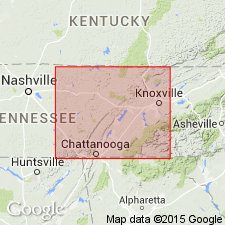
Listed as Gizzard member of Lee formation. [Age is Early Pennsylvanian.]
Source: US geologic names lexicon (USGS Bull. 1200, p. 1513-1514).
- Usage in publication:
-
- Gizzard member*
- Modifications:
-
- Revised
- Areal extent
- AAPG geologic province:
-
- Appalachian basin
Summary:
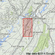
Gizzard member of Lookout sandstone. Geographically extended into northern Georgia where it is reduced to member status in Lookout sandstone. Consists of gray shales and fine-grained sandstone; on Lookout Mountains, shale is minor part of member; in Cole City area, a silty saccharoidal carbonaceous sandstone as much as 150 feet thick occurs 30 to 50 feet below Sewanee member. [Age is Early Pennsylvanian.]
Source: US geologic names lexicon (USGS Bull. 1200, p. 1513-1514).
- Usage in publication:
-
- Gizzard group
- Modifications:
-
- Revised
- Dominant lithology:
-
- Sandstone
- Shale
- Coal
- AAPG geologic province:
-
- Appalachian basin
Summary:
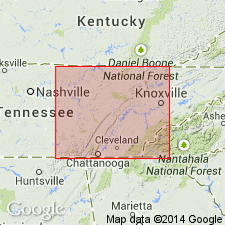
Pg. 1, 4, 19, pls. 2, 3, 4. Gizzard group. Rank raised to group. [Sandstone, shale, and coal.] Includes all strata between top of Mississippian [Pennington formation] and base of Sewanee conglomerate [of Crab Orchard Mountains group]. Thickness as much as 700 feet; at type locality 224 feet. Includes (ascending) Raccoon Mountain formation (new), Warren Point sandstone, and Signal Point shale (new); group is so subdivided on basis of wide distribution of Warren Point sandstone. Age is Early Pennsylvanian (Pottsville). Type locality stated.
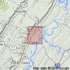
Type section: in gorge of Big Fiery Gizzard Creek (Gizzard Cove), about 2 mi south of Tracy City, Grundy Co., eastern TN; geographic names used here are those on White City quadrangle, rather than "Little Fiery Gizzard'' of Stafford.
Source: US geologic names lexicon (USGS Bull. 1200, p. 1513-1514).
- Usage in publication:
-
- Gizzard Formation*
- Modifications:
-
- Revised
- AAPG geologic province:
-
- Appalachian basin
Summary:
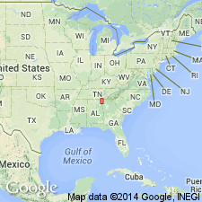
New nomenclature defined for Early Pennsylvanian rocks in northwest GA. Johnson's (1946) nomenclature based on a miscorrelation with rock units of TN. Gizzard Formation of this report comprises (ascending) Raccoon Mountain, Warren Point, and Signal Point Shale Members. Overlies Pennington Shale and underlies Sewanee Member of Crab Orchard Mountains Formation.
Source: GNU records (USGS DDS-6; Reston GNULEX).
- Usage in publication:
-
- Gizzard Group
- Modifications:
-
- Overview
- AAPG geologic province:
-
- Appalachian basin
Summary:
Gizzard Group comprises (ascending) Raccoon Mountain Formation, Warren Point Sandstone, and Signal Point Shale. Overlies Pennington Formation; underlies Sewanee Conglomerate of Crab Orchard Mountains Group.
Source: GNU records (USGS DDS-6; Reston GNULEX).
- Usage in publication:
-
- Gizzard Group
- Modifications:
-
- Mapped
- AAPG geologic province:
-
- Appalachian basin
Summary:
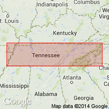
(East-central sheet.) Gizzard Group. Shale, siltstone, sandstone, and conglomerate. Thickness 0 to 520 feet. Includes (descending) Signal Point Shale, Warren Point Sandstone, and Raccoon Mountain Formation. Lies below Crab Orchard Mountains Group. Age is Pennsylvanian.
Source: Publication.
- Usage in publication:
-
- Gizzard Formation
- Modifications:
-
- Overview
- AAPG geologic province:
-
- Appalachian basin
Summary:
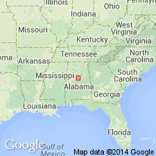
The Pottsville in the Plateau coal field of AL is correlated with the Gizzard and Crab Orchard Mountains Formations. In the Warrior, Cahaba, and Coosa coal fields the Pottsville is informally divided into a non-productive lower part and a productive upper part. Unit is of Early Pennsylvanian age. [Gizzard Group, not Formation, is the accepted usage of the U.S. Geological Survey.]
Source: GNU records (USGS DDS-6; Reston GNULEX).
- Usage in publication:
-
- Gizzard Group
- Modifications:
-
- Overview
- AAPG geologic province:
-
- Appalachian basin
Summary:
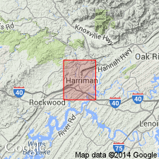
Gizzard Group mapped undivided in Roane Co., eastern TN. Consists of medium- to very dark gray, silty shale with interbedded laminae of silty sandstone and ironstone nodules, medium light gray, very fine to fine-grained, thin- to medium-bedded sandstone, and medium-gray, mottles and shaly siltstone. Bon Air coal occurs locally in two to three thin seams. Several shale and sandstone horizons are sheared and shattered by decollement of Cumberland Plateau Overthrust fault. Thickness ranges from 200 to 280 ft. Unconformably overlies Upper Mississippian Pennington Formation; underlies Sewanee Conglomerate of Crab Orchard Mountains Group. Age is Early Pennsylvanian.
Source: GNU records (USGS DDS-6; Reston GNULEX).
- Usage in publication:
-
- Gizzard Group*
- Modifications:
-
- Areal extent
- Revised
- AAPG geologic province:
-
- Appalachian basin
Summary:
Gizzard Group is applied only in TN to strata between Pennington Shale and Sewanee Conglomerate. Includes Raccoon Mountain Formation, Warren Point Sandstone, and Signal Point Shale. Includes strata previously assigned to Lee Formation or Group in TN (Lee is restricted from TN except in Cumberland overthrust sheet). Lookout Formation or Sandstone of GA is equivalent to Gizzard and overlying Sewanee Conglomerate of Crab Orchard Mountains Group in adjacent TN.
Source: GNU records (USGS DDS-6; Reston GNULEX).
For more information, please contact Nancy Stamm, Geologic Names Committee Secretary.
Asterisk (*) indicates published by U.S. Geological Survey authors.
"No current usage" (†) implies that a name has been abandoned or has fallen into disuse. Former usage and, if known, replacement name given in parentheses ( ).
Slash (/) indicates name conflicts with nomenclatural guidelines (CSN, 1933; ACSN, 1961, 1970; NACSN, 1983, 2005, 2021). May be explained within brackets ([ ]).

