

- Usage in publication:
-
- Gilpin Peak Tuff*
- Modifications:
-
- Named
- Dominant lithology:
-
- Tuff
- AAPG geologic province:
-
- San Juan Mountains province
Summary:
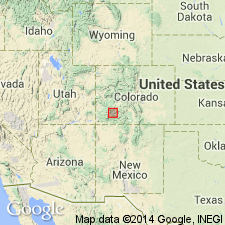
Named as the basal formation of Potosi Volcanic Group for 1,400 ft thick section of rocks at Gilpin Peak, near head of Canyon Creek, about 7 mi west-southwest of Ouray, Ouray Co, CO in the San Juan Mountain province. Rocks assigned to Gilpin Peak were assigned to Treasure Mountain Quartz Latite (or Rhyolite) in earlier papers. Is divisible into six moderately crystal-rich welded ash-flow tuffs and one reworked air-fall tuff moderately rich in plant fossils. Units are even bedded, mostly quartz latite, but range from rhyodacite to rhyolite, and range from 0-500 ft thick. Related to development of the Silverton caldera. Is younger than Silverton Volcanic Group (formerly called Silverton Volcanic Series) and older than Sunshine Peak Rhyolite of Potosi Volcanic Group. Assigned a middle and late Tertiary age.
Source: GNU records (USGS DDS-6; Denver GNULEX).
- Usage in publication:
-
- Gilpin Peak Tuff*†
- Modifications:
-
- Abandoned
- AAPG geologic province:
-
- San Juan Mountains province
Summary:
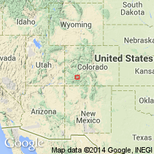
Abandoned. Rocks formerly called Gilpin Peak Tuff are assigned to Ute Ridge, Blue Mesa, Dillon Mesa, and Sapinero Mesa Tuffs in the San Juan Mountain province. The three tuffs were erupted from at least three unrelated calderas (Ute Creek, Lost Lake, and San Juan-Uncompahgre).
Source: GNU records (USGS DDS-6; Denver GNULEX).
For more information, please contact Nancy Stamm, Geologic Names Committee Secretary.
Asterisk (*) indicates published by U.S. Geological Survey authors.
"No current usage" (†) implies that a name has been abandoned or has fallen into disuse. Former usage and, if known, replacement name given in parentheses ( ).
Slash (/) indicates name conflicts with nomenclatural guidelines (CSN, 1933; ACSN, 1961, 1970; NACSN, 1983, 2005, 2021). May be explained within brackets ([ ]).