The National Geologic Map Database is migrating to a new infrastructure. We apologize for any service disruptions during this process.
|
|---|


- Usage in publication:
-
- Guertie sand*
- Modifications:
-
- Original reference
- Dominant lithology:
-
- Gravel
- Sand
- Silt
- AAPG geologic province:
-
- Arkoma basin
- Chautauqua platform
Summary:
Pg. 439. Guertie sand. Gravel, sand, and silt, 30 or more feet thick, resembling recent river or lake sand plains, probably deposited in a deserted river channel, and extending over part of McAlester coal field. [Mapped (pl. 64) as Peasable sand (probably from Peaceable Creek, Hughes County, Oklahoma), but Guertie adopted in text as more appropriate name. Assigned to Quaternary(?) (Pleistocene?).]
[Named from Guertie, Hughes Co., OK. Spelling of name of this town was in December 1924 changed by U.S. Geographic Board to Gerty.]
Source: US geologic names lexicon (USGS Bull. 896, p. 815).
- Usage in publication:
-
- Guertie sand
- Modifications:
-
- Areal extent
- AAPG geologic province:
-
- Arkoma basin
- Chautauqua platform
Summary:
Pg. 109. Guertie sand. Sand and gravel with alternating strata of clay and silt. Thickness 0 to 50 feet. Age is probably Pleistocene.
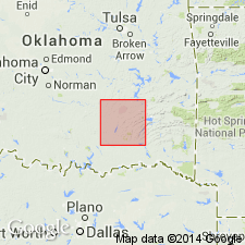
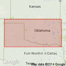
Recognized on both sides of Canadian River in McClain, Garvin, Pontotoc, Pottawatomie, Seminole, Hughes, Coal, and Pittsburg Cos., central and central southern OK.
Source: Publication; US geologic names lexicon (USGS Bull. 896, p. 815).
For more information, please contact Nancy Stamm, Geologic Names Committee Secretary.
Asterisk (*) indicates published by U.S. Geological Survey authors.
"No current usage" (†) implies that a name has been abandoned or has fallen into disuse. Former usage and, if known, replacement name given in parentheses ( ).
Slash (/) indicates name conflicts with nomenclatural guidelines (CSN, 1933; ACSN, 1961, 1970; NACSN, 1983, 2005, 2021). May be explained within brackets ([ ]).