- Usage in publication:
-
- Gatesburg formation*
- Modifications:
-
- Named
- Dominant lithology:
-
- Dolomite
- Limestone
- Sandstone
- AAPG geologic province:
-
- Appalachian basin
Summary:
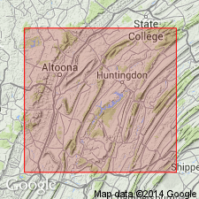
Named from Gatesburg Ridge, Center Co., PA. Consists of thick-bedded, steely blue, coarsely crystalline dolomite with many interbedded quartz layers up to 10 feet thick. Ore Hill limestone member is thin-bedded, blue limestone; Stacy dolomite member is coarse, thick-bedded, steely blue dolomite. Gatesburg is 1750 feet thick. Overlies Warrior limestone; underlies Mines dolomite. The Gatesburg, along with the Mines and Larke dolomites, probably correlates with Conococheague limestone of central Pennsylvania.
Source: GNU records (USGS DDS-6; Reston GNULEX).

- Usage in publication:
-
- Gatesburg formation
- Modifications:
-
- Revised
- Age modified
- AAPG geologic province:
-
- Appalachian basin
Summary:
Stratigraphically expanded to include Mines dolomite as uppermost member. Gatesburg includes (ascending) Stacy dolomite member, lower sandy member, Ore Hill dolomite member, upper sandy member, and Mines dolomite member. Approximately 1700-1800 feet thick. Overlies Warrior limestone; underlies Larke dolomite. Age is Late Cambrian.
Source: GNU records (USGS DDS-6; Reston GNULEX).

- Usage in publication:
-
- Gatesburg Formation*
- Modifications:
-
- Revised
- Areal extent
- AAPG geologic province:
-
- Appalachian basin
Summary:
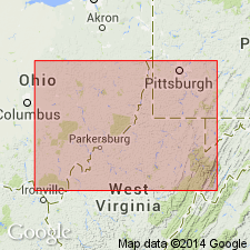
In cross section E-E', in subsurface of central WV and western VA, Gatesburg Formation consists of dolomite, sandstone, and subordinate gray shale. Lower sandstone part correlates with Nolichucky Shale of Butts (1940), Rodgers (1953), Webb (1980), Sutton (1981), and Donaldson and others (1988), and with lower sandy member of Gatesburg Formation of Wilson (1952) and Wagner (1966, 1976). Lower sandy member of Gatesburg is preferred here over Nolichucky Shale because of abundance of quartzose sandstone. Dolomite part of Gatesburg is assigned to unnamed middle dolomite member based on work by Wagner (1966). Upper sandstone-dominated zone is assigned to upper sandy member based on work by Wilson (1952) and Wagner (1966, 1976). Stacy Dolomite Member, Ore Hill Limestone member, and Mines Dolomite Member of other workers cannot be identified. Unnamed middle dolomite and upper sandy members correlate with Copper Ridge Dolomite and Rose Run Sandstone (Sand) in Rome trough of eastern KY and southwestern WV. Age is Late Cambrian based on trilobites although an Early Ordovician age is possible based on conodonts.
Source: GNU records (USGS DDS-6; Reston GNULEX).

- Usage in publication:
-
- Gatesburg Formation*
- Modifications:
-
- Revised
- Areal extent
- AAPG geologic province:
-
- Appalachian basin
Summary:
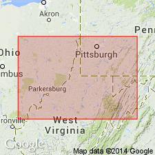
In cross section D-D', Gatesburg Formation in subsurface of northeastern WV includes lower sandy member, middle dolomite member, Ore Hill Limestone Member, upper sandy member, and Mines Dolomite Member. On the basis of lithologic similarity, Gatesburg and its lower sandy member, Ore Hill Limestone Member, upper sandy member, and Mines Dolomite Member are extended into the subsurface of adjoining northern VA.
Source: GNU records (USGS DDS-6; Reston GNULEX).
For more information, please contact Nancy Stamm, Geologic Names Committee Secretary.
Asterisk (*) indicates published by U.S. Geological Survey authors.
"No current usage" (†) implies that a name has been abandoned or has fallen into disuse. Former usage and, if known, replacement name given in parentheses ( ).
Slash (/) indicates name conflicts with nomenclatural guidelines (CSN, 1933; ACSN, 1961, 1970; NACSN, 1983, 2005, 2021). May be explained within brackets ([ ]).

