- Usage in publication:
-
- Gasconade limestone
- Modifications:
-
- Original reference
- Dominant lithology:
-
- Limestone
- AAPG geologic province:
-
- Ozark uplift
Summary:
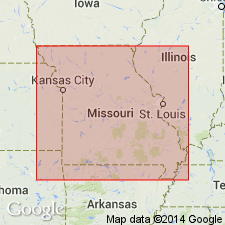
Pg. vii, 12, 93, 114-115, pl. III. Gasconade limestone. Great series of limestone beds interstratified with thin beds of sandstone that underlie Roubidoux sandstone in Ozark uplift and compose lower formation of Ozark series. Includes 3rd and 4th Magnesian limestones and separating sandstones of earlier reports. [Age is Early Ordovician (Beekmantown).
Named for exposures on Gasconade River, central MO.
Source: US geologic names lexicon (USGS Bull. 896, p. 804).
- Usage in publication:
-
- Gasconade limestone
- Modifications:
-
- Revised
- AAPG geologic province:
-
- Ozark uplift
Summary:
Also Amer. Geol., v. 15, p. 81-89, 1895. Winslow stated that Gasconade limestone underlies Roubidoux or Saccharoidal(?) sandstone and includes Jefferson City limestone, Moreau sandstone, Osage limestone, Cole Camp sandstone, and Proctor limestone. [Age is Early Ordovician (Beekmantown).]
Source: US geologic names lexicon (USGS Bull. 896, p. 804).
- Usage in publication:
-
- Gasconade limestone
- Modifications:
-
- Revised
- AAPG geologic province:
-
- Ozark uplift
Summary:
Gasconade limestone. Whitish or grayish cherty and noncherty dolomite with beds of chert and occassional sandstones. Thickness 250 feet. Is = Third Magnesium limestone of Swallow. Underlies St. Elizabeth formation [Roubidoux] and overlies Gunter sandstone. [This definition was followed by S.H. Ball, 1904; C.F. Marbut, 1904; E.R. Buckley and H.A. Buehler, 1904; E.M. Shepard, 1904; E.R. Buckley, 1905; H.A. Buehler, 1907; and C.[R.] Keyes, 1914.]
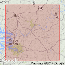
Revised in that Gasconade conformably overlies Gunter sandstone (first used) and conformably underlies newly named St. Elizabeth formation. Extensively exposed within Miller Co, MO, Ozark uplift, especially along Osage River and its tributaries. Gasconade has a constant thickness of 240-250 ft. Characteristically forms rough topography; forms precipitous cliffs along Osage River and its large tributaries. Consists of cherty and non-cherty magnesian limestone or dolomite, chert beds and occasional interbeds of sandstone. Detailed lithologic description; several measured sections; geologic map. Contains some deposits of lead, zinc and iron ores and commercial quantities of silica (locally referred to as chalk). Assigned undifferentiated Cambrian and Ordovician age.
Source: GNU records (USGS DDS-6; Reston GNULEX).
- Usage in publication:
-
- Gasconade limestone
- Modifications:
-
- Revised
- AAPG geologic province:
-
- Ozark uplift
Summary:
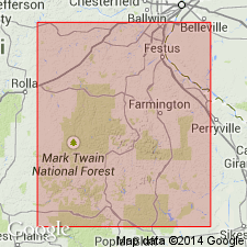
Gasconade limestone. Chert-bearing dolomitic limestones and sandstones, 450 to 650 feet thick. Underlies Roubidoux formation and overlies Elvins formation. Is = 3rd and 4th Magnesium limestones and 3rd sandstone, also = Lesueur limestone. Includes Osage limestone, Gasconade limestone, Cole Camp sandstone, Gunter sandstone and Proctor limestone. [This definition was followed by G.H. Scherer, 1905.]
See also USGS Bull. 267, 1905.
Source: US geologic names lexicon (USGS Bull. 896, p. 804).
- Usage in publication:
-
- Gasconade
- Modifications:
-
- Revised
- AAPG geologic province:
-
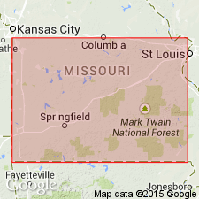
- Ozark uplift
Summary:
Pg. 286. Gasconade of Missouri underlies Roubidoux and unconformably overlies Proctor. [This definition of Gasconade (which includes Gunter sandstone member at base) was followed by C.F. Marbut, 1908; E.R. Buckley, 1909; R.S. Bassler, 1911; E.O. Ulrich, 1911; G.W. Crane, 1912; H.A. Buehler, 1917; C.L. Dake, 1918; E.B. Branson, 1918; M.E. Wilson, 1922; H.A. Buehler, 1922; and E.B. Branson, 1923; and it was for many years the accepted definition of the USGS.]
Source: US geologic names lexicon (USGS Bull. 896, p. 804).
- Usage in publication:
-
- Gasconade formation
- Modifications:
-
- Revised
- AAPG geologic province:
-
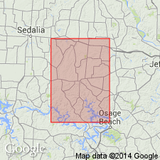
- Ozark uplift
Summary:
Divided into Gunter sandstone member (rank reduced) in lower part and unnamed magnesian limestone in upper part. Study area is in Morgan Co, MO, Ozark uplift. Gasconade in predominant formation over most of southern part of county. Thickness is about 260 ft. Unconformably overlies Proctor limestone; underlies Roubidoux formation. Measured sections; generalized section; geologic map. Assigned probable Cambrian age.
Source: GNU records (USGS DDS-6; Reston GNULEX).
- Usage in publication:
-
- Gasconade formation
- Modifications:
-
- Revised
- AAPG geologic province:
-
- Ozark uplift
Summary:
Gasconade formation restricted. Dolomite, light colored, finely crystalline with characteristic hard blue chert. Thickness 140 to 200 feet. Chert is dominant constituent; much of it is vitreous and quartzose, but lacks the even glassy texture of the Eminence and to some extent the chert of the Van Buren, underlies Roubidoux formation and unconformably overlies Van Buren formation. [See further explanation under Van Buren formation. This is definition of Gasconade dolomite that has been adopted by the Missouri Geol. Survey and is now followed by the USGS, ca. 1938.]
Source: US geologic names lexicon (USGS Bull. 896, p. 804).
- Usage in publication:
-
- Gasconade formation
- Modifications:
-
- Areal extent
- AAPG geologic province:
-
- Ozark uplift
Summary:
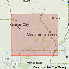
Pg. 52 (fig. 2), 55-57. Gasconade formation. Basal part of formation contains pebbles of chert and sometimes of Precambrian igneous rocks derived from older formation, but commonly it is marked by sandstone or sandy dolomite, 15 to 25 feet thick. This basal zone is known as Gunter. It is overlain by 80 to 125 feet of thin- to medium-bedded cherty dolomite which in some Missouri Survey reports is referred to as Van Buren formation, and this in turn is overlain by massively bedded cherty dolomite, 141 to 200 feet thick. In those reports in which term Van Buren formatton is used, term Gasconade is restricted to this upper cherty dolomite. In present report, term Gasconade is used in its earlier unrestricted sense to include all strata between the Eminence and the Roubidoux. [Age is Early Ordovician.]
Source: US geologic names lexicon (USGS Bull. 1200, p. 1478).
- Usage in publication:
-
- Gasconade formation
- Modifications:
-
- Areal extent
- AAPG geologic province:
-
- Ozark uplift
Summary:
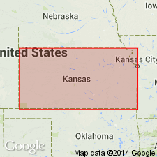
Pg. 57. Gasconade formation. Includes Gunter member at base. Term Van Buren not used. Age is Early Ordovician.
Source: US geologic names lexicon (USGS Bull. 1200, p. 1478).
- Usage in publication:
-
- Gasconade Dolomite
- Modifications:
-
- Overview
Summary:
(Paleozoic Era; [Cambrian through Mississippian Systems] by E.D. Goebel, p. 13.) Gasconade Dolomite. Moore, Frye, Jewett, Lee, and O'Connor (1951) treated the Gasconade Dolomite and underlying Van Buren Formation as a unit (p. 119). Earlier, McQueen (1931, p. 18) [should this be p. 118?] differentiated the formations in Missouri by means of insoluble residues. Because the formations are difficult to separate in the subsurface far removed from outcrops, Keroher and Kirby (1948) designated the sequence in Kansas as Van Buren-Gasconade. The Missouri Geological Survey (Martin, Knight, and Hayes, 1961) no longer recognizes the Van Buren and includes the rock sequence from the top of the Eminence Dolomite to the base of the Roubidoux Formation as the Gasconade Dolomite. This practice is now followed in Kansas also. The Gasconade consists mainly of cherty, coarsely granular dolomite. The chert in the upper part, which is dense and gray to dark bluish-gray, grades downward into white, dense, quartzose chert. The Gasconade is unconformable on Eminence beds and probably also on Bonneterre, Lamotte, and Precambrian beds. Gasconade rocks are reported in the subsurface in a belt along the Missouri state line. The thickness ranges from 0 to more than 200 feet in southeastern Kansas.
References cited:
Keroher, R.P. and Kirby, J.J., 1948, "Upper Cambrian and Lower Ordovician rocks in Kansas," Kansas Geol. Survey Bull., no. 72, 140 p.
[McQueen, H.S., 1931 (1930), "Insoluble residues as a guide in stratigraphic studies," IN Buehler, H.A., Biennial report [1929-1930] of the State Geologist, transmitted to the 56th general assembly, Missouri Bur. Geol. and Mines, App. 1, p. 102-131.]
Martin, J.A., and others, 1961, "Ordovician System," IN Koenig, J.W., ed., "The stratigraphic succession in Missouri," Missouri Div. Geol. Survey and Water Res. Rept., 2nd ser., v. 40, p. 20-32.
Moore, R.C., and others, 1951, "The Kansas rock column," Kansas Geol. Survey Bull., no. 89, 132 p.
Source: Publication.

- Usage in publication:
-
- Gasconade Dolomite
- Modifications:
-
- Overview
- AAPG geologic province:
-
- Ozark uplift
Summary:
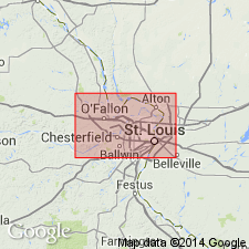
Oneota Dolomite of IL is equivalent to Gasconade Formation of MO and to upper nonsandy part of Chepultepec Formation in KY subsurface.
Source: GNU records (USGS DDS-6; Reston GNULEX).
- Usage in publication:
-
- Gasconade Dolomite*
- Modifications:
-
- Areal extent
- AAPG geologic province:
-
- Illinois basin
- Ozark uplift
Summary:
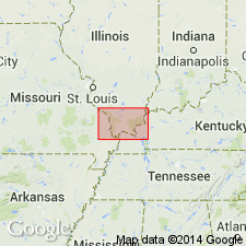
Gasconade Dolomite of Early Ordovician (Canadian) age is present in subsurface of MO and IL in St. Louis area. Includes Gunter Sandstone Member.
Source: GNU records (USGS DDS-6; Reston GNULEX).
- Usage in publication:
-
- Gasconade Dolomite*
- Modifications:
-
- Areal extent
- AAPG geologic province:
-
- Ozark uplift
Summary:
Ordovician (Canadian) Gasconade Dolomite occurs in subsurface on Ozark dome in MO. Correlates with Oneota Dolomite of Knox Group in Illinois basin in IL and KY. Basal Gunter Sandstone Member occurs sporadically in southern part of Illinois basin.
Source: GNU records (USGS DDS-6; Reston GNULEX).
- Usage in publication:
-
- Gasconade Dolomite*
- Modifications:
-
- Areal extent
- AAPG geologic province:
-
- Upper Mississippi embayment
- Illinois basin
Summary:
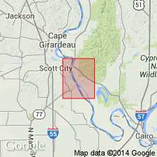
Early Ordovician (Canadian) Gasconade Dolomite mapped undivided with Roubidoux Formation in subsurface of Upper Mississippi embayment in MO and Illinois basin in IL.
Source: GNU records (USGS DDS-6; Reston GNULEX).
For more information, please contact Nancy Stamm, Geologic Names Committee Secretary.
Asterisk (*) indicates published by U.S. Geological Survey authors.
"No current usage" (†) implies that a name has been abandoned or has fallen into disuse. Former usage and, if known, replacement name given in parentheses ( ).
Slash (/) indicates name conflicts with nomenclatural guidelines (CSN, 1933; ACSN, 1961, 1970; NACSN, 1983, 2005, 2021). May be explained within brackets ([ ]).

