The National Geologic Map Database is migrating to a new infrastructure. We apologize for any service disruptions during this process.
|
|---|


- Usage in publication:
-
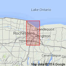
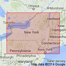
- Furnaceville ore
- Modifications:
-
- Named
- Dominant lithology:
-
- Limestone
- AAPG geologic province:
-
- Appalachian basin
Summary:
Furnaceville ore named for town of Furnaceville, Wayne Co., NY. Included in the Clinton formation of Rochester and Ontario Beach quads. Underlies Wolcott limestone and overlies Sodus shale. Age is Silurian.
Source: GNU records (USGS DDS-6; Reston GNULEX).
- Usage in publication:
-
- Furnaceville ore bed
- Modifications:
-
- Revised
- AAPG geologic province:
-
- Appalachian basin
Chadwick, G.H., 1908, Revision of "the New York series": Science, new series, v. 28, p. 346-348.
Summary:
The Furnaceville ore bed lies in, not below, the Wolcott limestone as stated by Hartnagel (1907).
Source: GNU records (USGS DDS-6; Reston GNULEX).

- Usage in publication:
-
- Furnaceville iron ore
- Modifications:
-
- Overview
- AAPG geologic province:
-
- Appalachian basin
Summary:
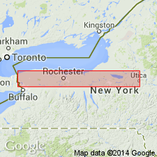
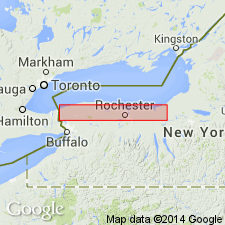
Furnaceville iron ore occurs at Rochester and extends eastward into Wayne Co., where it is typically developed in vicinity of Furnaceville, and where it directly overlies Sodus shale. At Rochester a thin band of limestone intervenes between Sodus shale and the ore. Age is Silurian.
Source: GNU records (USGS DDS-6; Reston GNULEX).

- Usage in publication:
-
- Furnaceville ore
- Modifications:
-
- Overview
- AAPG geologic province:
-
- Appalachian basin
Summary:
The Sodus shale is here restricted to upper part of Sodus as previously defined and used. The underlying beds downward to the top of Thorold sandstone have been named (descending) Sterling Station ore, Reynales limestone, Furnaceville ore, Bear Creek shale, and Maplewood shale. The iron ore underlying true Wolcott limestone is here named Verona iron ore. The true Furnaceville ore is a much older bed. Hartnagel miscorrelated Wolcott limestone with the much older Reynales limestone. The iron ore overlying Wolcott limestone is here named Wolcott Furnace ore.
Source: GNU records (USGS DDS-6; Reston GNULEX).
- Usage in publication:
-
- Furnaceville ore
- Modifications:
-
- Revised
- AAPG geologic province:
-
- Appalachian basin
Summary:
Furnaceville ore included in Reynales limestone.
Source: GNU records (USGS DDS-6; Reston GNULEX).
- Usage in publication:
-
- Furnaceville iron ore
- Modifications:
-
- Revised
- AAPG geologic province:
-
- Appalachian basin
Summary:
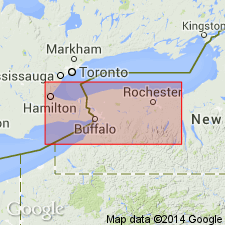
In Genesee Gorge, the Furnaceville is underlain by 3 ft of typical basal Reynales and overlain by the PENTAMERUS part of the same formation. This condition holds for only a short distance to the east where the hematitic limestone appears to gradually fade into a true limestone. A few mi farther east, the Furnaceville is present again but occupies a position at the base of the Reynales. Furnaceville constitutes a lithologic unit easily recognized and mappable. It can be traced for a long distance and with more assurance than most Clinton formations. Hence, it seems preferable to use it as a formational name to designate the lowermost hematitic limestone of Clinton group. Genesee Gorge lentil is considered a part of the Furnaceville iron ore.
Source: GNU records (USGS DDS-6; Reston GNULEX).
- Usage in publication:
-
- Furnaceville hematite
- Modifications:
-
- Revised
- AAPG geologic province:
-
- Appalachian basin
Summary:
Unit referred to as Furnaceville hematite of Clinton group on the New York State map. Age is Silurian.
Source: GNU records (USGS DDS-6; Reston GNULEX).
- Usage in publication:
-
- Furnaceville Member
- Modifications:
-
- Revised
- AAPG geologic province:
-
- Appalachian basin
Summary:
Unit referred to as Furnaceville Member of Reynales Limestone of lower Clinton Group. Age is Silurian.
Source: GNU records (USGS DDS-6; Reston GNULEX).
- Usage in publication:
-
- Furnaceville Member
- Modifications:
-
- Overview
- AAPG geologic province:
-
- Appalachian basin
Summary:
Furnaceville Member of the Reynales Formation in Wayne Co. can be correlated nearly bed for bed with the Brewer Dock Member of the Reynales to the west. Basal beds correlate with the Budd Road Bed (new) of the Brewer Dock and uppermost beds with the Seneca Park Bed (new) of the Brewer Dock. Unconformably underlies the Bear Creek Shale facies (a correlative of the Wallington Member) and unconformably overlies the Webster Bed (new) (a correlative of the Maplewood and Neahga Shales).
Source: GNU records (USGS DDS-6; Reston GNULEX).
- Usage in publication:
-
- Furnaceville Member
- Modifications:
-
- Overview
- AAPG geologic province:
-
- Appalachian basin
Summary:
The Budd Road Phosphate Bed extends from Cambria westward to the Niagara River Gorge and eastward to the Rochester area, beyond which it becomes hematitic and forms the lower part of the Furnaceville Member of the Reynales Limestone. At Niagara Gorge bed forms base of Hickory Corners Member of Reynales and at Rochester Gorge, forms base of Brewer Dock Member. Age of the Budd Road is Early Silurian (middle Llandoverian). [Report uses Early and Late Silurian time scale of Harland and others (1982).]
Source: GNU records (USGS DDS-6; Reston GNULEX).
For more information, please contact Nancy Stamm, Geologic Names Committee Secretary.
Asterisk (*) indicates published by U.S. Geological Survey authors.
"No current usage" (†) implies that a name has been abandoned or has fallen into disuse. Former usage and, if known, replacement name given in parentheses ( ).
Slash (/) indicates name conflicts with nomenclatural guidelines (CSN, 1933; ACSN, 1961, 1970; NACSN, 1983, 2005, 2021). May be explained within brackets ([ ]).