

- Usage in publication:
-
- Frensley limestone
- Modifications:
-
- Original reference
- Dominant lithology:
-
- Limestone
- Shale
- AAPG geologic province:
-
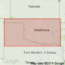
- South Oklahoma folded belt
Summary:
Last 3 pages of mimeographed program of a conference on correlation of the Pennsylvanian System of the Ardmore basin, held May 5, 1936. At base of the Pumpkin Creek south of Ardmore, nodular white dense limestone varying in thickness from 1 to 10 feet or more. Limestone contains an undescribed species of FUSULINA which also occurs 50 feet below top of the Atoka in the so-called Red Oak member. Name Frensley is here proposed for this limestone and the shale overlying it and beneath the overlying prominent sandstone. Frensley marks top of the Atoka or Red Oak of eastern Oklahoma.
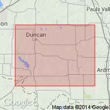
Well exposed on Frensley Farm, in SE/4 sec. 30, T. 3 S., R. 2 E., Carter Co., eastern OK.
Source: US geologic names lexicon (USGS Bull. 1200, p. 1430).
- Usage in publication:
-
- Frensley limestone
- Modifications:
-
- Overview
- AAPG geologic province:
-
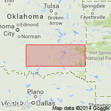
- South Oklahoma folded belt
Summary:
Pg. 854 (fig. 1). Shown on correlation chart of area south of Arbuckles. Age is Middle Pennsylvanian (Des Moines).
Source: US geologic names lexicon (USGS Bull. 1200, p. 1430).
- Usage in publication:
-
- Frensley limestone
- Modifications:
-
- Biostratigraphic dating
- AAPG geologic province:
-
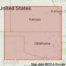
- South Oklahoma folded belt
Summary:
Pg. 250. Corals collected from Frensley limestone, Lampasas age, southeast of Ardmore, Oklahoma.
Source: US geologic names lexicon (USGS Bull. 1200, p. 1430).

- Usage in publication:
-
- Frensley limestone
- Modifications:
-
- Overview
- AAPG geologic province:
-
- South Oklahoma folded belt
Summary:
Chart no. 6 (column 37, Ardmore basin, southern Oklahoma, collated by R.C. Moore). Shown on Pennsylvanian correlation chart as Frensley limestone, in Dornick Hills group; Lampasas [Atokan] series.
Source: Publication; US geologic names lexicon (USGS Bull. 1200, p. 1430).
- Usage in publication:
-
- Frensley limestone member
- Modifications:
-
- Revised
- AAPG geologic province:
-
- South Oklahoma folded belt
Summary:
Pg. 137 (fig. 2), 139, 140 (fig. 3). Rank reduced to member status in Lake Murray formation (new). Overlies Griffin sandstone (equivalent to Lester) member; underlies Big Branch formation. Atoka series.
Source: US geologic names lexicon (USGS Bull. 1200, p. 1430).
For more information, please contact Nancy Stamm, Geologic Names Committee Secretary.
Asterisk (*) indicates published by U.S. Geological Survey authors.
"No current usage" (†) implies that a name has been abandoned or has fallen into disuse. Former usage and, if known, replacement name given in parentheses ( ).
Slash (/) indicates name conflicts with nomenclatural guidelines (CSN, 1933; ACSN, 1961, 1970; NACSN, 1983, 2005, 2021). May be explained within brackets ([ ]).