

- Usage in publication:
-
- Freeman silt
- Modifications:
-
- Named
- Dominant lithology:
-
- Siltstone
- AAPG geologic province:
-
- San Joaquin basin
Summary:
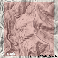
[Name apparently taken from Shell Oil Freeman lease at Round Mountain field (sec.20 T28S R29E, Kern Co, CA] Also referred to as "Freeman silt Member" of Temblor Formation. Biostratigraphic column shows age as early Miocene based on Saucesian faunules from Barnsdell No.1 well between 1685 and 2005 ft.
Source: GNU records (USGS DDS-6; Menlo GNULEX).
- Usage in publication:
-
- Freeman Silt*
- Modifications:
-
- Adopted
- Biostratigraphic dating
- AAPG geologic province:
-
- San Joaquin basin
Summary:
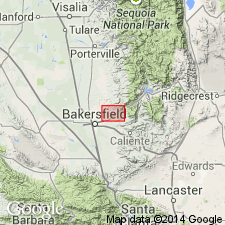
Type section designated as 328 ft cored interval between 890 and 1218 ft in Shell Oil Jewett No.1 well (sec.29 T28S R29E, Kern Co, CA). Freeman Silt of Kleinpell (1938) later used by Rogers (1943) is adopted. Is equivalent to lower 620 ft of Diepenbrock's (1933) ashy silt member and upper silty part of underlying Jewett Micaceous Silt Member. Because of difficulty of separating that part of Diepenbrock's (1934) Jewett Micaceous Silt Member above basal sand (Pyramid Hill Sand) from his overlying ashy silt member, units were grouped together as Freeman-Jewett [silt] by Ferguson (1941). Freeman Silt is characteristically light- to brownish-gray friable massive micaceous clayey siltstone with fine, silty sand beds near top. Foraminifers and fish scales are abundant. Overlies Jewett Sand. Top of unit grades into and intertongues with Olcese Sand. Is early Miocene age based on mollusks of Vaqueros Stage and lower Saucesian foraminifers.
Source: GNU records (USGS DDS-6; Menlo GNULEX).
- Usage in publication:
-
- Freeman Silt*
- Modifications:
-
- Areal extent
- AAPG geologic province:
-
- San Joaquin basin
Summary:
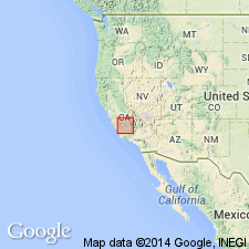
Freeman Silt questionably extended to northwest to Coalinga-Kettleman Hills area based on data from three wells (Terra Resourdes Piexoto No.1, Canus Petroleum Hansen Farms No.1, and Chevron USA Mills 58-8).
Source: GNU records (USGS DDS-6; Menlo GNULEX).
For more information, please contact Nancy Stamm, Geologic Names Committee Secretary.
Asterisk (*) indicates published by U.S. Geological Survey authors.
"No current usage" (†) implies that a name has been abandoned or has fallen into disuse. Former usage and, if known, replacement name given in parentheses ( ).
Slash (/) indicates name conflicts with nomenclatural guidelines (CSN, 1933; ACSN, 1961, 1970; NACSN, 1983, 2005, 2021). May be explained within brackets ([ ]).