- Usage in publication:
-
- Frederick limestone, Frederick Valley limestones
- Modifications:
-
- First used
- Areal extent
- Biostratigraphic dating
- Dominant lithology:
-
- Limestone
- AAPG geologic province:
-
- Piedmont-Blue Ridge province
Summary:
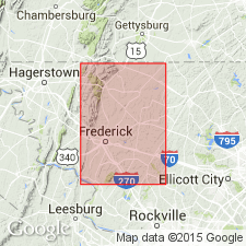
Frederick limestone, as unit is sometimes referred to in this report, has a geographic extent of nearly 100 sq mi. Greatest length perhaps 30 mi; maximum breadth, near Frederick City, 6 mi. Along western border of Frederick Valley, limestones are covered by Mesozoic red sandstones ("Newark formation" of Russell). To the east, the limestones pass gradually into shales and slates, the whole forming an apparently conformable series. The limestones are in great part bluish, compact, and heavily bedded, but on approaching the shales, they become more and more thinly bedded and very dark blue or nearly black, owing to bituminous matter present. In places the rock is highly siliceous. From the thin-bedded belt, the limestone passes into a more earthy facies and grades into dark-colored calcareous shales and these into slates or sandy shales. The shales and limestones form a continuous series and probably represent a formation equivalent to Chazy, Trenton, and Hudson River groups of NY section, according to Chazy-Trenton fossils recently obtained in Frederick Valley limestones.
Source: GNU records (USGS DDS-6; Reston GNULEX).
- Usage in publication:
-
- Frederick limestone
- Modifications:
-
- Named
- AAPG geologic province:
-
- Piedmont-Blue Ridge province
Summary:
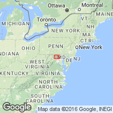
Frederick limestone is new name proposed for the strata in Frederick Valley unconformably overlying Beekmantown limestone and containing a fauna probably of Chazyan age. The rocks are well exposed in numerous quarries and natural outcrops around Frederick. Fossils are rare, but suggest a Chazyan or early Mohawkian age, with possibility more in favor of Chazyan. The Frederick consists of thin-bedded dark-blue argillaceous strata separating into layers usually less than 2 in. thick. Thickness seems to be at least 200 ft. On west side of valley unit is covered by Newark series, and on east side it is faulted against Precambrian shales and slates.
Source: GNU records (USGS DDS-6; Reston GNULEX).
- Usage in publication:
-
- Frederick limestone*
- Modifications:
-
- Revised
- Age modified
- AAPG geologic province:
-
- Piedmont-Blue Ridge province
Summary:
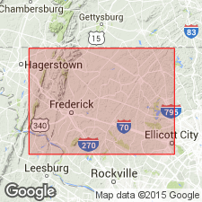
Frederick limestone is 480 ft in Frederick Valley. Underlies Ordovician Grove limestone in center of Frederick Valley syncline and in several areas northwest of Frederick. In eastern part of valley, unconformably overlaps Lower Cambrian Antietam quartzite; here, Lower Cambrian Tomstown dolomite, which normally overlies Antietam in foothills west of Triassic border, is not present. Age is Late Cambrian. [Authors obtained additional fossil collections that were pronounced Late Cambrian by several paleontologists, and age was changed to Late Cambrian in January of 1936 according to notes in GNU files.]
Source: GNU records (USGS DDS-6; Reston GNULEX).
- Usage in publication:
-
- Frederick Formation
- Modifications:
-
- Revised
- AAPG geologic province:
-
- Piedmont-Blue Ridge province
Summary:
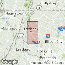
Revised as Frederick Formation. Consists of an 800-m-thick sequence of limestones and dolomites. Includes thin dolomitic interval previously assigned to Tomstown Dolomite by Jonas and Stose (1938) and Whittaker (1955), and rocks assigned to Frederick Limestone (by same workers). Divided into three new members (ascending): Dresbachian Rocky Springs Station Member (vertically varying amounts of shale, phyllite, dolomite, limestone, and slate), Franconian Adamstown Member (flaggy, thinly to thickly bedded limestone), and Trempealeauan Lime Kiln Member (highly burrowed, very thinly to thickly bedded limestone). First appearance of abundant coarse quartz marks base of overlying Grove Formation (revised). Contact between underlying Araby Formation (new) and Frederick is not exposed, but probably is conformable and, because Dresbachian trilobite fauna in Rocky Station Springs Member lie about 250 m above top of Araby (latest Middle Cambrian), no significant hiatus can be present; in addition, lithologic transition from fine-grained clastic (Araby) to fine-grained carbonate (Frederick) is gradational in contact zone. Within Frederick Formation, there are no abrupt changes or large time gaps. On the basis of limited faunal evidence, the three members are time equivalent and entire Upper Cambrian sequence is thus contained in Frederick Formation. Report includes geologic map and sections, geologic columns, measured sections, correlation charts, and fossil lists.
Source: GNU records (USGS DDS-6; Reston GNULEX).
- Usage in publication:
-
- Frederick Limestone*
- Modifications:
-
- Areal extent
- AAPG geologic province:
-
- Piedmont-Blue Ridge province
Summary:
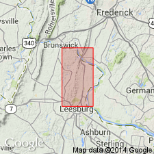
In mapped area, Frederick Limestone is exposed only in fields just south of Potomac River. Strongly resembles Tomstown Dolomite in appearance.
Source: GNU records (USGS DDS-6; Reston GNULEX).
For more information, please contact Nancy Stamm, Geologic Names Committee Secretary.
Asterisk (*) indicates published by U.S. Geological Survey authors.
"No current usage" (†) implies that a name has been abandoned or has fallen into disuse. Former usage and, if known, replacement name given in parentheses ( ).
Slash (/) indicates name conflicts with nomenclatural guidelines (CSN, 1933; ACSN, 1961, 1970; NACSN, 1983, 2005, 2021). May be explained within brackets ([ ]).

