- Usage in publication:
-
- "Fourmile beds"
- Modifications:
-
- First used
- Dominant lithology:
-
- Sand
- Clay
- AAPG geologic province:
-
- Atlantic Coast basin
Summary:
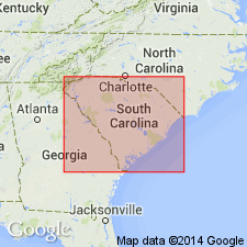
The basal Eocene unit, below the early and middle Eocene Congaree Formation, at the Savannah River Site is here informally referred to as the "Fourmile beds." Beds are approximately 30 ft thick, mostly tan, yellow, orange, and green, moderately sorted sand with clays a few ft thick in the middle and at the top in places. Glauconitic in some wells. Lower contact with the "Snapp beds" appears to be unconformable. Numerous early Eocene age dates have been obtained from palynological assemblages. Unit may be correlative with the Fishburne Formation, which occurs downdip. At this time authors correlate the beds with the Hatchetigbee Formation of the Gulf Coastal Plain.
Source: GNU records (USGS DDS-6; Reston GNULEX).

- Usage in publication:
-
- Fourmile Formation
- Modifications:
-
- Named
- Dominant lithology:
-
- Sand
- Clay
- AAPG geologic province:
-
- Atlantic Coast basin
Summary:
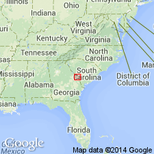
Fourmile Formation is named at the Savannah River site in northwestern Barnwell Co, SC. At the type section, unit is 22 ft thick and is composed of quartz sand with some interbedded clays. In most places consists of orange, green, gray, yellow, and tan, moderately to well-sorted, fine to coarse quartz sand with green and gray clays a few ft thick in the middle and at the top. Appears to be the lower part of the Congaree(?) Formation as used by Siple (1967) and the lower Congaree as used by Logan and Euler (1989). Correlates with the Fishburne Formation on the SC coast and the Hatchetigbee of the western Gulf Coastal Plain. Unconformably overlies Lang Syne Formation in the northwestern part of the study area and the Snapp Formation (new) in the southeast. Underlies the Congaree Formation. Assigned to zones NP 10 and 11 (early Eocene, late Sabinian). Age determination from dinoflagellates. Shallow marine environment of deposition. [See Fallaw and Price (1995) for renaming.]
Source: GNU records (USGS DDS-6; Reston GNULEX).

- Usage in publication:
-
- Fourmile member
- Modifications:
-
- Overview
- AAPG geologic province:
-
- Atlantic Coast basin
Summary:
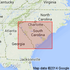
The name Fourmile member is used informally at the Savannah River Site for the lower Eocene unit, equivalent to the lower part of the Fishburne Formation. Name comes from Fourmile Creek, where wells penetrate the unit. Member ranges from 15 to 60 ft thick and is mostly quartz sand, with a clay bed, usually about 3 ft thick in the upper part. Dominant colors are gray, orange, green, and tan. Sands are immature, medium- to coarse-grained, and poorly sorted. Pebbly zones common. Early Eocene dates have been obtained from most of the stratigraphic interval formerly assigned to the early middle Eocene at the Savannah River Site.
Source: GNU records (USGS DDS-6; Reston GNULEX).

- Usage in publication:
-
- Fourmile Branch Formation
- Modifications:
-
- Principal reference
- AAPG geologic province:
-
- Atlantic Coast basin
Summary:
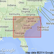
Fourmile Branch Formation formally named in this report. Name changed from Fourmile Formation of Fallaw and Price (1992) to better distinguish it from several other stratigraphic units with Fourmile as part of their names. Definition of unit is identical to that of the 1992 naming paper. Downdip, the Fourmile Branch grades into the Fishburne Formation. Contact is arbitrarily defined where 25 percent of the section is composed of calcium carbonate. To the southwest, unit grades the Hatchetigbee Formation(?). Contact is drawn where 50 percent of the section is composed of clay beds.
Source: GNU records (USGS DDS-6; Reston GNULEX).
For more information, please contact Nancy Stamm, Geologic Names Committee Secretary.
Asterisk (*) indicates published by U.S. Geological Survey authors.
"No current usage" (†) implies that a name has been abandoned or has fallen into disuse. Former usage and, if known, replacement name given in parentheses ( ).
Slash (/) indicates name conflicts with nomenclatural guidelines (CSN, 1933; ACSN, 1961, 1970; NACSN, 1983, 2005, 2021). May be explained within brackets ([ ]).

