The National Geologic Map Database is migrating to a new infrastructure. We apologize for any service disruptions during this process.
|
|---|


- Usage in publication:
-
- Fort Scott limestone*
- Modifications:
-
- Original reference
- AAPG geologic province:
-
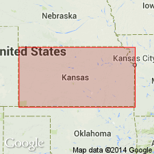
- Cherokee basin
Summary:
Pg. 25. Fort Scott limestone. Bluish-drab and brown, irregularly bedded fossiliferous limestone, 8 to 18 feet thick, forming top of member of Fort Scott coal series and constituting bed No. 212 of geologic section of eastern Kansas. [Age is Middle Pennsylvanian.]
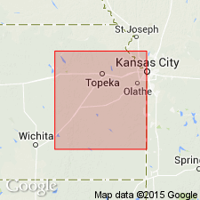
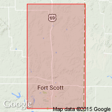
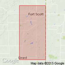
Named from exposures at Fort Scott, Bourbon Co., eastern KS.
Source: US geologic names lexicon (USGS Bull. 896, p. 758-759).
- Usage in publication:
-
- Oswego limestone
- Fort Scott limestone
- Modifications:
-
- Revised
- Areal extent
- AAPG geologic province:
-
- Cherokee basin
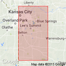
- Forest City basin
- Ozark uplift
Summary:
Pg. 86-98, pl. 4. Oswego or Fort Scott limestone consists of (descending): (1) limestone, 10 to 14 feet; (2) clay and bituminous shale; (3) limestone ("cement rock"), 4.5 feet. [Age is Pennsylvanian.]
[This definition of Fort Scott limestone is still in current use (ca. 1938).]
Source: US geologic names lexicon (USGS Bull. 896, p. 758-759).
- Usage in publication:
-
- Fort Scott limestone*
- Modifications:
-
- Revised
- Areal extent
- AAPG geologic province:
-
- Cherokee basin
- Forest City basin
Summary:
(Haworth) p. 42. Fort Scott limestone. Fort Scott is suitable as alternative designation for Oswego limestone, but should not include the upper heavy limestone which caps the hills on all sides of Fort Scott. Oswego limestone consists of (descending): (1) limestone, 5 to 15 feet; (2) black shale, 4 to 7 feet; (3) limestone, the "cement rock," 5 to 15 feet. [Age is Pennsylvanian.]
Source: US geologic names lexicon (USGS Bull. 896, p. 758-759).

- Usage in publication:
-
- Fort Scott limestone*
- Fort Scott limestone member*
- Modifications:
-
- Overview
- AAPG geologic province:
-
- Cherokee basin
- Forest City basin
- Ozark uplift
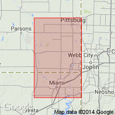
- Chautauqua platform
Summary:
Fort Scott limestone (distinct formation in eastern Kansas and northeastern Oklahoma); Fort Scott limestone member of Henrietta formation (in northwestern Missouri). The present commonly accepted definition of Fort Scott limestone in Missouri applies name to basal member of Henrietta formation, underlying Labette shale member and overlying Cherokee shale. It includes at top the Fort Scott limestone of Swallow and at base the †Fort Scott cement rock of later reports, the two being separated by 5 to 20 feet of shale, coal, and clay. In Kansas the Henrietta has for years been treated as a group by the USGS, and Fort Scott limestone as a formation. In Oklahoma the Fort Scott limestone is also treated as a distinct formation. But R.C. Moore, 1936 (Kansas Geol. Survey Bull., no. 22), has discarded Pleasanton and Henrietta formations, and treats Fort Scott limestone as a formation in his Marmaton group. These changes have not been considered by the USGS for its publications.
[See also under Cherokee shale.]
Source: US geologic names lexicon (USGS Bull. 896, p. 758-759).
- Usage in publication:
-
- Fort Scott limestone
- Modifications:
-
- Revised
- AAPG geologic province:
-
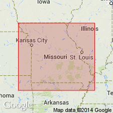
- Forest City basin
- Iowa shelf
Summary:
Pg. 25-26 (fig. 2), 36-37, measured sections. Fort Scott limestone. Basal formation in Henrietta group. From Missouri River northward, formation includes parts of three cyclothems. At type section, southeastern Kansas, formation is predominantly limestone, but, northeastward in Missouri, shale becomes increasing prominent, and, in latitude of Missouri River, shale is predominating rock type; if formation has been correctly traced, there are three limestone members which persist into Iowa. In ascending order, these limestones are called by Missouri Survey the lower Fort Scott ("Mulky cap rock"), the "Rhomboidal," and upper Fort Scot "Lexington bottom-rock"). These limestones are herein named (ascending) Blackjack Creek, Houx, and Higginsville. Underlies Labette shale; overlies Cherokee shale (group). Age is Middle Pennsylvanian (Des Moines).
Source: US geologic names lexicon (USGS Bull. 1200, p. 1400-1401).
- Usage in publication:
-
- Fort Scott limestone
- Modifications:
-
- Principal reference
- Revised
- AAPG geologic province:
-
- Cherokee basin
Summary:
Pg. 302-309. Fort Scott limestone of Marmaton group. Cline (1941) named lower member the Blackjack Creek, the upper, the Higginsville, and a thin limestone that occurs between them, the Houx. Name Little Osage shale is here proposed for beds between Blackjack Creek and Higginsville limestone, and Houx limestone is considered bed in Little Osage shale. Bennett (1896, Kansas Univ. Geol. Survey, v. 1) probably regarded exposure in cut a short distance east of Missouri Pacific RR station in Fort Scott as type exposure; a better type exposure is herein designated. Thickness at this exposure 27.75 feet. Overlies Cherokee shale; underlies Labette shale. Age is Middle Pennsylvanian (Des Moines).
Type exposure: northeast of Fort Scott in the cement plant quarry, in NE/4 sec. 19, T. 25 S., R. 25 E., Bourbon Co., eastern KS.
Source: US geologic names lexicon (USGS Bull. 1200, p. 1400-1401).
- Usage in publication:
-
- Fort Scott formation
- Modifications:
-
- Areal extent
- AAPG geologic province:
-
- Forest City basin
Summary:
Pl. 1. Fort Scott formation of Henrietta group. Columnar section, Jackson and Cass Counties, western Missouri, shows formation includes (ascending) Blackjack Creek limestone, Houx limestone, Backwater [Blackwater] Creek shale (new), and Higginsville limestone members. Overlies Lagonda sands and shales; underlies Labette shale. Age is Middle Pennsylvanian (Des Moines).
Source: US geologic names lexicon (USGS Bull. 1200, p. 1400-1401).
- Usage in publication:
-
- Fort Scott formation
- Modifications:
-
- Revised
- AAPG geologic province:
-
- Ozark uplift
Summary:
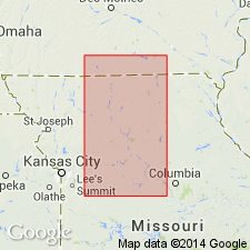
Pg. 93-96, measured sections, pl. 7. Fort Scott formation of Henrietta group. Fort Scott, in east-central Missouri, consists of alternating beds of shale and limestone below which there is section of shale, base of which is marked by a sandstone, the Squirrel. Although the Squirrel is usually placed in upper part of Cherokee, it is believed that more detailed work will show that it belongs at base of Henrietta group. Unconformably overlies Lagonda shale of Cherokee group. Thickness in Callaway County about 54 feet. Age is Middle Pennsylvanian (Des Moines).
Source: US geologic names lexicon (USGS Bull. 1200, p. 1400-1401).

- Usage in publication:
-
- Fort Scott formation
- Modifications:
-
- Revised
Summary:
p. v (fig. 1), 5-6. Fort Scott formation of Marmaton group. Name Henrietta group suppressed. Fort Scott reallocated to Marmaton group [in] Missouri. Includes (ascending) Blackjack Creek limestone, Little Osage, and Higginsville limestone members. Little Osage member includes (ascending) Houx limestone, Blackwater Creek shale, and Flint Hill sandstone (new). Underlies Labette formation of Marmaton group. Age is Middle Pennsylvanian (Des Moines).
Source: US geologic names lexicon (USGS Bull. 1200, p. 1400-1401).
- Usage in publication:
-
- Fort Scott limestone
- Modifications:
-
- Areal extent
- AAPG geologic province:
-
- Chautauqua platform
Summary:
Pg. 2093. Fort Scott limestone. Breezy Hill limestone member of Cherokee formation seems rather consistently to have been identified as lower Fort Scott limestone (Blackjack Creek) of type area is actually the next limestone unit above the Breezy Hill. Lithologically, the Breezy Hill in northern Oklahoma is very much like lower Fort Scott limestone of type region, and the true Fort Scott (Blackjack Creek) has developed a somewhat different lithology. Age is Middle Pennsylvanian (Des Moines).
Source: US geologic names lexicon (USGS Bull. 1200, p. 1400-1401).
- Usage in publication:
-
- Fort Scott limestone
- Modifications:
-
- Areal extent
- AAPG geologic province:
-
- Chautauqua platform
Summary:
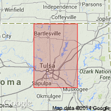
Pg. 20-25, pl. 1. Fort Scott limestone. Described in Tulsa County [Oklahoma]. According to present usage, term Fort Scott is applied to two limestones and an intervening shale at type locality where aggregate thickness is about 30 feet. Formation maintains its tripartite character southward into Oklahoma, but upper limestone member does not extend south of T. 25 N., R. 16 E., southeastern Nowata County. Lower limestone member extends southward beyond Tulsa County and is overlain, at least locally by middle shale member. These two members are not more than 10 feet thick in most exposures south of Arkansas River. Conformably overlies Senora formation; conformably underlies Labette shale. Age is Middle Pennsylvanian (Des Moines).
Source: US geologic names lexicon (USGS Bull. 1200, p. 1400-1401).
- Usage in publication:
-
- Fort Scott formation
- Modifications:
-
- Overview
Summary:
Pg. 2748 (fig. 1). Fort Scott formation of Marmaton group. Shown on northern Midcontinent composite stratigraphic section above Excello formation of Cabaniss group. Age is Middle Pennsylvanian (Des Moines).
Source: US geologic names lexicon (USGS Bull. 1200, p. 1400-1401).

- Usage in publication:
-
- Fort Scott limestone
- Modifications:
-
- Overview
- AAPG geologic province:
-
- Iowa shelf
Summary:
Pg. 33, fig. 5. Fort Scott limestone of Marmaton group. Fort Scott has not been completely differentiated in Iowa but the following members have been identified (ascending): Blackjack Creek limestone, Summit coal, Houx limestone, and Higginsville limestone. Shale section underlies Higginsville; this interval is about 15 feet thick in Appanoose County, and about 7 feet in Madison County. Underlies Labette shale; overlies Cherokee shale. Age is Middle Pennsylvanian (Des Moines).
Classification of Marmaton group used in this report is that agreed upon by State Geological Surveys in northern Midcontinent region (Moore, 1948, AAPG Bull., v. 32, no. 11). Although Iowa Survey is not entirely in agreement on this classification, it is used here for convenience of those who may be familiar with grouping as used in other states of region.
Source: US geologic names lexicon (USGS Bull. 1200, p. 1400-1401).
For more information, please contact Nancy Stamm, Geologic Names Committee Secretary.
Asterisk (*) indicates published by U.S. Geological Survey authors.
"No current usage" (†) implies that a name has been abandoned or has fallen into disuse. Former usage and, if known, replacement name given in parentheses ( ).
Slash (/) indicates name conflicts with nomenclatural guidelines (CSN, 1933; ACSN, 1961, 1970; NACSN, 1983, 2005, 2021). May be explained within brackets ([ ]).