The National Geologic Map Database is migrating to a new infrastructure. We apologize for any service disruptions during this process.
|
|---|


- Usage in publication:
-
- Flower-pot shales
- Modifications:
-
- Original reference
- Dominant lithology:
-
- Clay
- AAPG geologic province:
-
- Sedgwick basin
- Anadarko basin
Summary:
Pg. 3, 24-27. Flower-pot shales. Chiefly highly gypsiferous varicolored clays, 150 feet thick, overlying Cedar Hills sandstones and underlying Cave Creek gypsums. Included in Salt Fork division.
Named from Flower-pot Mound, Barber Co., central southern KS.
[GNC remark (ca. 1938, US geologic names lexicon, USGS Bull. 896, p. 745): Flower-pot shale of Cimarron group. Recognized in central southern Kansas and western Oklahoma. Age is Permian.]
Source: US geologic names lexicon (USGS Bull. 896, p. 745).
- Usage in publication:
-
- Flower-pot formation
- Modifications:
-
- Revised
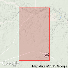
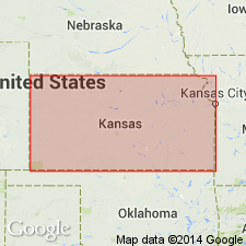
- Areal extent
- AAPG geologic province:
-
- Permian basin
Summary:
[Title unknown, IN] AAPG Bull., v. 23, no. 5, p. 764, 1939; Robert Roth, 1942, AAPG Bull., v. 26, no. 8, p. 1412. Flower-pot formation. Included in Pease River group (new). [Age is Permian (Leonard).]
Source: US geologic names lexicon (USGS Bull. 1200, p. 1379).
- Usage in publication:
-
- Flower-pot shale*
- Modifications:
-
- Revised
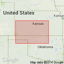
- Areal extent
- AAPG geologic province:
-
- Anadarko basin
- Sedgwick basin
Summary:
Pg. 1782, 1791-1792. Flower-pot shale included in Nippewalla group (new). [Age is Permian.]
Source: US geologic names lexicon (USGS Bull. 1200, p. 1379).

- Usage in publication:
-
- Flower-pot shale*
- Modifications:
-
- Revised
- Areal extent
Summary:
Pg. 66 (fig. 1). Flower-pot shale. Shown on correlation chart as formation in El Reno (San Andres) group. Age is Permian.
Source: US geologic names lexicon (USGS Bull. 1200, p. 1379).
- Usage in publication:
-
- Flower-pot shale [member]
- Modifications:
-
- Revised
- Areal extent
- AAPG geologic province:
-
- Permian basin
Summary:
[See Dickey 1940 entry under San Andres.]
Source: US geologic names lexicon (USGS Bull. 1200, San Andres entry p. 3424-3425).
- Usage in publication:
-
- Flowerpot shale*
- Modifications:
-
- Overview
Summary:
Pg. 158; R.C. Moore and others, 1951, Kansas Geol. Survey Bull., no. 89, p. 39. Flowerpot [Flower-pot] shale of Nippewalla group. Red soft gypsiferous shale. Average thickness 180 feet. In Nippewalla group below Blaine formation and above Cedar Hills sandstone. Age is Permian (Leonardian).
Source: US geologic names lexicon (USGS Bull. 1200, p. 1379).
- Usage in publication:
-
- Flower-pot formation
- Modifications:
-
- Areal extent
Summary:
Pg. 902-904. Flower-pot formation of Pease River group. At type locality of Pease River group, underlies Blaine formation and overlies San Angelo formation. Thickness 274 feet. Includes Chaney gypsum and anhydrite and Kiser gypsum and anhydrite. Age is Permian.
Source: US geologic names lexicon (USGS Bull. 1200, p. 1379).
- Usage in publication:
-
- Flowerpot shale*
- Modifications:
-
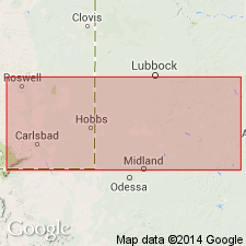
- Areal extent
- Age modified
- AAPG geologic province:
-
- Anadarko basin
Summary:
Pg. 11 (fig. 2), 15-16, 17 (fig. 3), pl. 1. Flowerpot [Flower-pot] shale of El Reno group. Described in Carter area [Beckham County], Oklahoma, where it conformably overlies Duncan sandstone and conformably underlies Blaine formation. Includes Chaney gypsum and Kiser gypsum members. Thickness 165 feet. Age is Permian (Guadalupe).
Source: US geologic names lexicon (USGS Bull. 1200, p. 1379).

- Usage in publication:
-
- Flowerpot shale
- Modifications:
-
- Overview
Summary:
Flowerpot [Flower-pot] shale. Shown on correlation chart in Nippewalla group. Age is Permian (Guadalupian).
Source: US geologic names lexicon (USGS Bull. 1200, p. 1379).
- Usage in publication:
-
- Flowerpot Shale
- Modifications:
-
- Areal extent
- AAPG geologic province:
-
- Palo Duro basin
Summary:
In report area (Jackson and Harmon Cos, OK, Palo Duro basin) overlies the "Duncan-San Angelo Sandstone" of El Reno Group. Upper contact revised; underlies the Gypsum Creek Dolomite Bed (first published use) of Elm Fork Member (first published use), basal member of Blaine Formation of the El Reno. Divided into a lower red-brown and gray-green shale, Chaney Gypsum Bed, unnamed red-brown and green-gray shale, Kiser Gypsum Bed, upper green-gray and red-brown shale, and tan dolomite. The informal marker bed, Marty dolomite bed, above the Kiser named in this report. Ranges between 70-300 ft thick. Permian age.
Source: GNU records (USGS DDS-6; Denver GNULEX).
For more information, please contact Nancy Stamm, Geologic Names Committee Secretary.
Asterisk (*) indicates published by U.S. Geological Survey authors.
"No current usage" (†) implies that a name has been abandoned or has fallen into disuse. Former usage and, if known, replacement name given in parentheses ( ).
Slash (/) indicates name conflicts with nomenclatural guidelines (CSN, 1933; ACSN, 1961, 1970; NACSN, 1983, 2005, 2021). May be explained within brackets ([ ]).