- Usage in publication:
-
- Flechado Formation
- Modifications:
-
- Named
- Dominant lithology:
-
- Sandstone
- Shale
- Siltstone
- Conglomerate
- Limestone
- AAPG geologic province:
-
- San Luis basin
Summary:
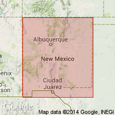
Named for creek of same name; type section measured in bluffs on north side of Rio Pueblo Valley, starting at base of Pennsylvanian near point where Tio Maes Creek enters valley 3 mi east of junction of NM Hwy 3 and NM Hwy 75, Taos Co, NM (is only the lower 2,500 ft of the section). This is the only complete section exposed in the area; much better partial sections are near Talpa and Taos Canyon (both in Taos area, Taos Co. Underlies Alamitos Formation (new); contact concealed at type section. Overlies Mississippian limestone unconformably at Talpa, Taos Co; contact covered at type section. Consists mainly of sandstone (with a low feldspar content) and shale; also contains siltstones, sandstones, conglomerates, and limestones. Flechado is the approximate northern equivalent of La Pasada Formation (new); there is an abrupt facies change north of Jicarilla Ridge in Rio Arriba Co--becomes dominantly clastic with marked increase in thickness. Flechado present north of this facies boundary, in Sangre de Cristo Mountains, San Luis basin. The Flechado's lower (Morrowan) interval is a predominantly near-shore marine sequence; post-Morrowan sequence is predominantly continental and fluvial with minor near-shore marine invasions. Sparsely fossiliferous (mostly brachiopods), but sufficiently so to show age range from Morrowan (Early Pennsylvanian) to middle Desmoinesian (Middle Pennsylvanian). Sections, correlation chart, geologic map.
Source: GNU records (USGS DDS-6; Denver GNULEX).

- Usage in publication:
-
- Flechado Formation*
- Modifications:
-
- Revised
- AAPG geologic province:
-
- Las Vegas-Raton basin
Summary:
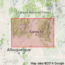
Flechado Formation revised--lower contact changed. Overlies with an erosional unconformity the Chesterian (Late Mississippian) Cowles Member of Tererro Formation (revised, age modified) of Arroyo Penasco Group (rank raised to group in this report) in northwestern part of report area, north-central NM. Flechado is present in sections measured at: Lujan Canyon and Turquillo, both in Rincon Range (Mora Co, Las Vegas-Raton basin); and at Mora Gap (Mora Co, Las Vegas-Raton basin). In sections to south La Pasada Formation--the southern equivalent of Flechado--is present above Cowles Member of Tererro. Neither Flechado nor La Pasada extends west of the Sangre de Cristo Mountains. Is of Morrowan to Desmoinesian (Early to Middle Pennsylvanian) age. Correlation chart, measured sections.
Source: GNU records (USGS DDS-6; Denver GNULEX).
For more information, please contact Nancy Stamm, Geologic Names Committee Secretary.
Asterisk (*) indicates published by U.S. Geological Survey authors.
"No current usage" (†) implies that a name has been abandoned or has fallen into disuse. Former usage and, if known, replacement name given in parentheses ( ).
Slash (/) indicates name conflicts with nomenclatural guidelines (CSN, 1933; ACSN, 1961, 1970; NACSN, 1983, 2005, 2021). May be explained within brackets ([ ]).

