- Usage in publication:
-
- Flattop Mountain sandstone*
- Modifications:
-
- First used
- AAPG geologic province:
-
- Appalachian basin
Summary:
Pocahontas group divided into (descending) Flattop Mountain sandstone; Pocahontas coals Nos. 6, 5, 4, 3, 2, and 1 with intervening sandstones and shales; and Pocahontas sandstone.
Source: GNU records (USGS DDS-6; Reston GNULEX).

- Usage in publication:
-
- Flattop Mountain sandstone
- Modifications:
-
- Named
- Dominant lithology:
-
- Sandstone
- AAPG geologic province:
-
- Appalachian basin
Summary:
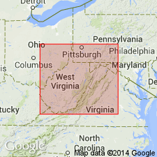
Named as top member of Pocahontas group in Lower Pottsville series. Named for Flattop Mountain, 2 mi northwest of Pocahontas, southwestern VA. Consists of bluish-gray to brown, medium- to coarse-grained, micaceous, massive to current-bedded sandstone. Thickness is 22 to 50 ft. Overlies Rift shale. [Age is Pennsylvanian.]
Source: GNU records (USGS DDS-6; Reston GNULEX).

- Usage in publication:
-
- Flattop Mountain Sandstone Member
- Modifications:
-
- Overview
- AAPG geologic province:
-
- Appalachian basin
Summary:
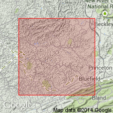
Unit is subtly distinct from other sandstones of the upper Pocahontas Formation. Flattop Mountain is a medium-grained, moderately sorted, texturally submature lithic arenite to sublitharenite, quartz grains composing 65 percent of the sandstone, while the lower sandstones are finer-grained and enriched in twinned plagioclase feldspar. Unit attains a maximum thickness of 13.7 m in the Crumpler quad, Mercer, McDowell, and Wyoming Cos. Consists entirely of channel-form sandstones with thin mudstone and siltstone partings. Locally massive in appearance but characteristically trough cross-bedded and contains internal erosional scours with claystone rip-up clasts, bark and tree molds, plant fragments, and carbonaceous debris. Forms a prominent bench or cliff where exposed.
Source: GNU records (USGS DDS-6; Reston GNULEX).

- Usage in publication:
-
- Flattop Mountain Sandstone Member*
- Modifications:
-
- Overview
- AAPG geologic province:
-
- Appalachian basin
Summary:
Flattop Mountain Sandstone Member, uppermost part of Pocahontas Formation, is a massive sandstone present in VA and WV.
Source: GNU records (USGS DDS-6; Reston GNULEX).
For more information, please contact Nancy Stamm, Geologic Names Committee Secretary.
Asterisk (*) indicates published by U.S. Geological Survey authors.
"No current usage" (†) implies that a name has been abandoned or has fallen into disuse. Former usage and, if known, replacement name given in parentheses ( ).
Slash (/) indicates name conflicts with nomenclatural guidelines (CSN, 1933; ACSN, 1961, 1970; NACSN, 1983, 2005, 2021). May be explained within brackets ([ ]).

