

- Usage in publication:
-
- Falls Mills sandstone [member]
- Modifications:
-
- Named
- Dominant lithology:
-
- Sandstone
- AAPG geologic province:
-
- Appalachian basin
Summary:
Pg. 295, 335. Falls Mills sandstone. Greenish-gray sandstone, usually massive and fairly coarse, but in places shaly; 25 to 50 feet thick. Underlies Lower Pluto shale and overlies Falls Mills shale; all members of Hinton group [formation]. Noted in Mercer and Summers Counties, West Virginia. Age is Mississippian.
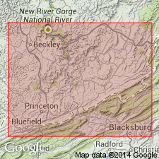
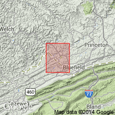
Type locality is in edge of Tazewell Co., southwestern VA, just west of Falls Mills Station, where it makes falls across Bluestone River.
Source: US geologic names lexicon (USGS Bull. 896, p. 719).
- Usage in publication:
-
- Falls Mills Sandstone Member*
- Modifications:
-
- Overview
- AAPG geologic province:
-
- Appalachian basin
Summary:
The Falls Mills Sandstone Member of the Hinton Formation consists of light gray, very fine- to fine-grained, thin- to thick-bedded, conspicuously ripple-bedded sandstone. Overlies the Pratter Shale Member and underlies the upper shale member, both of the Hinton Formation. The Falls Mills is of Late Mississippian age.
Source: GNU records (USGS DDS-6; Reston GNULEX).
For more information, please contact Nancy Stamm, Geologic Names Committee Secretary.
Asterisk (*) indicates published by U.S. Geological Survey authors.
"No current usage" (†) implies that a name has been abandoned or has fallen into disuse. Former usage and, if known, replacement name given in parentheses ( ).
Slash (/) indicates name conflicts with nomenclatural guidelines (CSN, 1933; ACSN, 1961, 1970; NACSN, 1983, 2005, 2021). May be explained within brackets ([ ]).