The National Geologic Map Database is migrating to a new infrastructure. We apologize for any service disruptions during this process.
|
|---|


- Usage in publication:
-
- Falcon limestone member
- Modifications:
-
- Original reference
- Dominant lithology:
-
- Limestone
- Siltstone
- AAPG geologic province:
-
- Denver basin
Summary:
Pg. 31, 33, fig. 7. Falcon limestone limestone member of Lykins formation. Impure limestone containing numerous thin, irregular, varvelike laminae of red silt ranging in thickness from paper thin to one-tenth inch. Locally several 2-inch seams of vuggy limestone contain black brittle bituminous material. Unit represented at Ralston Creek by unindurated irregularly interlaminated red and gray calcareous silt. Thickness ranges from 2 to 3.5 feet. At type locality, unit lies 46 feet stratigraphically below base of Glennon limestone (new) and 58 feet above Lyons formation. Underlies Bergen shale member (new); overlies Harriman shale member (new). [Age is Permian.]
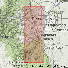
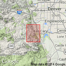
Type section: west fork of Glennon Canyon, 1.5 mi southeast of Morrison, in NW/4 sec. 12, T. 5 S., R. 70 W., [approx. Lat. 39 deg. 38 min. 06 sec. N., Long. 105 deg. 11 min. 00 sec. W.], Morrison quadrangle, Jefferson Co., CO. Named from Mount Falcon, about 2.5 mi southwest of Morrison, in sec. 9, T. 5 S., R. 70 W., southwest part of Morrison quadrangle, Jefferson Co., CO.
See also L.W. LeRoy and John Hayes, 1957, No. 3, Golden-Morrison measured section, IN McKee, E.D., ed., Colorado measured sections, 1957, RMAG, p. 23-26, [pl. 3].
Source: US geologic names lexicon (USGS Bull. 1200, p. 1314); GNC files.
- Usage in publication:
-
- Falcon Limestone Member*
- Modifications:
-
- Mapped 1:24k (Indian Hills quad, Jefferson Co, CO)
- Dominant lithology:
-
- Limestone
- AAPG geologic province:
-
- Denver basin
Summary:
Is Permian member of Lykins Formation (Permian and Triassic?) mapped in central Jefferson Co, CO (Denver basin). Is second of five (ascending) members of Lykins. Outcrops in northeast part of quad; mapped as single line along Hogback. Conformably overlies Harriman Shale Member (Permian) of Lykins; conformably underlies Bergen Shale Member (Permian) of Lykins. Map unit described as thin very fine grained yellowish-gray limestone; well exposed as small hogback just north of Deer Creek. Thickness about 2.5 ft.
Source: GNU records (USGS DDS-6; Denver GNULEX).
For more information, please contact Nancy Stamm, Geologic Names Committee Secretary.
Asterisk (*) indicates published by U.S. Geological Survey authors.
"No current usage" (†) implies that a name has been abandoned or has fallen into disuse. Former usage and, if known, replacement name given in parentheses ( ).
Slash (/) indicates name conflicts with nomenclatural guidelines (CSN, 1933; ACSN, 1961, 1970; NACSN, 1983, 2005, 2021). May be explained within brackets ([ ]).