- Usage in publication:
-
- Exline limestone
- Modifications:
-
- Original reference
- AAPG geologic province:
-
- Iowa shelf
Summary:
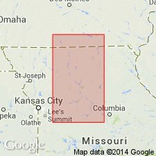
Pg. 62, 65-66. Exline limestone of Henrietta group. Limestone at top of Henrietta group. Upper 3 inches laminated, lower 1 foot massive; dark blue-gray, earthy, medium-grained; well jointed, weathers brown and slabby; fossiliferous with CHONETES and white crinoid stems which contrast strongly with weathered yellow-brown matrix. Separated from underlying Cooper Creek limestone (new) by underclay, coal, and shale. Traced into northern Missouri. Age is Pennsylvanian.
Type locality: about 1.5 mi south of southwest corner of Exline, Appanoose Co., IA. Well exposed in west-flowing tributary ravine of North Shoal Creek, in SE/4 sec. 6, T. 67 N., R. 17 W.
Source: US geologic names lexicon (USGS Bull. 1200, p. 1305-1306).
- Usage in publication:
-
- Exline limestone
- Modifications:
-
- Revised
- AAPG geologic province:
-
- Forest City basin
- Iowa shelf
Summary:
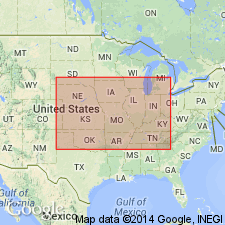
Chart no. 6 (column 31, Iowa, collated by R.C. Moore). Exline limestone. Shown on Pennsylvanian correlation chart at top of Appanoose group in Iowa. Assigned to McLeansboro group in western Illinois (col. 30, collated by H.R. Wanless). Age is [latest Middle Pennsylvanian]; latest Desmoinesian.
[Shown on chart correlative with Lenapah limestone of Marmaton group in Kansas, Nebraska, northern Oklahoma and northwestern Arkansas (cols. 33 and 34), Holdenville formation in central Oklahoma and Arkansas valley (col. 36), Confederate limestone of Deese group in southern Oklahoma (col. 37), and Capps limestone member of East Mountain shale of Lone Camp group in south-central Texas (col. 38).]
Source: Publication; US geologic names lexicon (USGS Bull. 1200, p. 1305-1306).
- Usage in publication:
-
- Exline limestone
- Modifications:
-
- Revised
- AAPG geologic province:
-
- Forest City basin
Summary:
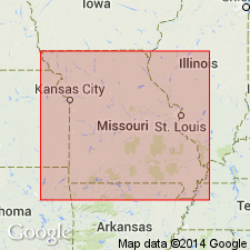
Pg. v (fig. 1), 10. Exline limestone. In Pleasanton group, Missouri series.
Source: US geologic names lexicon (USGS Bull. 1200, p. 1305-1306).
- Usage in publication:
-
- Exline limestone member
- Modifications:
-
- Revised
- AAPG geologic province:
-
- Illinois basin
Summary:
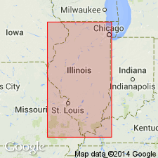
Pg. 38, 49 (table 1). Exline limestone member of Modesto formation (new) of McLeansboro group. In northern western Illinois, overlies Lonsdale limestone member and underlies Trivoli sandstone member. Age is Late Pennsylvanian (Missourian). Presentation of new rock-stratigraphic classification of Pennsylvanian strata in Illinois; cyclical classification is independent of rock-stratigraphic classification.
Source: US geologic names lexicon (USGS Bull. 1200, p. 1305-1306).
- Usage in publication:
-
- Exline Limestone Member
- Modifications:
-
- Revised
- AAPG geologic province:
-
- Forest City basin
- Iowa shelf
Summary:
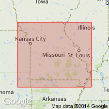
Exline Limestone Member of Lees Summit Formation (new) of Pleasanton Group. Revised to lower member (of 2) of Lees Summit Formation. Traced from southern Iowa, south into Cass County, Missouri. Average thickness in Missouri is 1 foot. Correlates with Checkerboard Limestone of Kansas and Oklahoma. Overlies South Mound Shale Member (new) of Seminole Formation of Pleasanton Group; underlies Unity Farm Shale Member (new) of Lees Summit. Fossiliferous. Age is Late Pennsylvanian (early Missourian). Unit serves as important datum within Pennsylvanian column in northern Midcontinent region. Report includes faunal list.
Source: Modified from GNU records (USGS DDS-6; Denver GNULEX).
For more information, please contact Nancy Stamm, Geologic Names Committee Secretary.
Asterisk (*) indicates published by U.S. Geological Survey authors.
"No current usage" (†) implies that a name has been abandoned or has fallen into disuse. Former usage and, if known, replacement name given in parentheses ( ).
Slash (/) indicates name conflicts with nomenclatural guidelines (CSN, 1933; ACSN, 1961, 1970; NACSN, 1983, 2005, 2021). May be explained within brackets ([ ]).

