

- Usage in publication:
-
- Ewing limestone
- Modifications:
-
- Named
- Dominant lithology:
-
- Limestone
- AAPG geologic province:
-
- Appalachian basin
Summary:
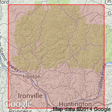
Named as part of Conemaugh formation. Named for Ewing Site, Sunday Creek Valley, Hocking or Perry Co., southeastern OH. Extends from Sunday Creek Valley southward to Ohio River. Consists of ferruginous limestone. Thickness is about 5 ft. Found within Coal Measures, about 80 ft above Cambridge limestone and 40 ft below Ames limestone.
Source: GNU records (USGS DDS-6; Reston GNULEX).
- Usage in publication:
-
- Ewing limestone
- Modifications:
-
- Revised
- Overview
- AAPG geologic province:
-
- Appalachian basin
Summary:
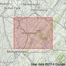
In PA, Ewing limestone assigned to Conemaugh group. Overlies Pittsburgh red beds; separated from overlying Amer limestone by Harlem coal. Thickness in Fayette Co., 5 to 10 ft.
Source: GNU records (USGS DDS-6; Reston GNULEX).
- Usage in publication:
-
- Ewing limestone member
- Modifications:
-
- Revised
- AAPG geologic province:
-
- Appalachian basin
Summary:
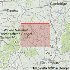
In Morgan Co., Ewing limestone member of Conemaugh series is nonpersistent. It stratigraphically overlies Cow Run sandstone and shale member. Occurs from 6 to 11 ft below Barton coal and from 30 to 40 ft below Ames limestone. Thickness ranges from 6 in. to 4.75 ft.
Source: GNU records (USGS DDS-6; Reston GNULEX).
- Usage in publication:
-
- Ewing limestone member
- Modifications:
-
- Revised
- AAPG geologic province:
-
- Appalachian basin
Summary:
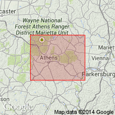
Ewing is member of Upper Bakerstown cyclothem in this report. Throughout outcrop area, the Ewing is represented by three lithologic varieties. First is single nodular layer 2 to 12 in. thick of light-gray to gray dense, brecciated or sandy micaceous limestone. Second type includes layers but more commonly nodules and veins of limestone distributed in thicknesses of up to 15 ft of sandy shale and shaly sandstone. Third type comprises small nodules of limestone embedded in clay shale. Limestone in any of these types may be ferruginous. In Dover Township, a 6-in. layer of ironstone represents Ewing member. Overlies Cow Run sandstone member. In Conemaugh series.
Source: GNU records (USGS DDS-6; Reston GNULEX).

- Usage in publication:
-
- Ewing limestone
- Modifications:
-
- Overview
- AAPG geologic province:
-
- Appalachian basin
Summary:
Ewing is an unranked nonmarine limestone below Upper Bakerstown or Barton coal in Glenshaw Formation of Conemaugh Group. Probably miscorrelated in MD with the Lavansville limestone of Pennsylvania.
Source: GNU records (USGS DDS-6; Reston GNULEX).
For more information, please contact Nancy Stamm, Geologic Names Committee Secretary.
Asterisk (*) indicates published by U.S. Geological Survey authors.
"No current usage" (†) implies that a name has been abandoned or has fallen into disuse. Former usage and, if known, replacement name given in parentheses ( ).
Slash (/) indicates name conflicts with nomenclatural guidelines (CSN, 1933; ACSN, 1961, 1970; NACSN, 1983, 2005, 2021). May be explained within brackets ([ ]).