

- Usage in publication:
-
- Esplanade sandstone [member]
- Modifications:
-
- First used
- Dominant lithology:
-
- Sandstone
- AAPG geologic province:
-
- Plateau sedimentary province
Summary:
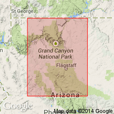
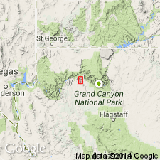
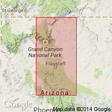
First published use for a sandstone at the top of the Supai formation. Considered to be a local member whose upper surface forms a shelf or bench called the Esplanade. Intent to name, source of geographic name, and designation of a type not stated. Lies 275 ft below the top of the Hermit and above the unnamed part of the Supai. Consists of about 270 ft of hard dark red sandstone. Cliff-former. Can be traced in the Grand Canyon area. Age not stated.
Source: GNU records (USGS DDS-6; Denver GNULEX).
- Usage in publication:
-
- Esplanade Sandstone*
- Modifications:
-
- Revised
- AAPG geologic province:
-
- Plateau sedimentary province
Summary:
Raised in rank from Esplanade Sandstone Member of Supai Formation to Esplanade Sandstone of Supai Group. Overlies unconformably the Wescogame Formation (new) of Supai. Basal contact is on a channeled surface. Underlies unconformably the Hermit Shale. Upper surface is also an erosion surface. Type section designated and measured along Apache Trail east of Supai village, Grand Canyon, Coconino Co, AZ, Plateau sedimentary province where the formation is 445.5 ft thick. Forms massive cliffs (very fine grained cross-stratified sandstone) and slopes, benches, or recesses (siltstone and mudstone). Nomenclature table. Of Wolfcampian, Early Permian age.
Source: GNU records (USGS DDS-6; Denver GNULEX).
- Usage in publication:
-
- Esplanade Sandstone
- Modifications:
-
- Overview
- AAPG geologic province:
-
- Plateau sedimentary province
Summary:
Is the upper formation (of four formations) of the Supai Group. Forms a massive cliff of fine-grained, cross-stratified sandstone throughout the western Grand Canyon, except for the Surprise Canyon area, Mohave Co, AZ in the Plateau sedimentary province. Stratigraphic chart. Pakoon Limestone tongues into the middle part of the Esplanade in the Grand Wash Cliffs. Divisible into a basal slope unit of alternating layers of red sandstone and siltstone, a main cliff unit of thick-bedded, cross-stratified, well-sorted quartz sandstone, and an upper unit of deep red, gypsiferous, slope-forming shale capped by a red and white, fine-grained sandstone cliff. East of Granite Park, the middle unit is very dolomitic suggesting an extension of a marine-like environment in the western Grand Canyon area. Increases from 400 feet thick at Tuckup Canyon (east part of report area) to more than 550 feet at the Grand Wash Cliffs in west part of area, where the section includes the intertongued Pakoon. Separated from the underlying Wescogame Formation of the Supai by a well developed erosional unconformity characterized by channels 40 feet deep filled with limestone pebbles. Separated from the overlying Hermit Shale by an unconformity. Of Permian age.
Source: GNU records (USGS DDS-6; Denver GNULEX).
- Usage in publication:
-
- Esplanade Sandstone*
- Modifications:
-
- Areal extent
- Overview
- AAPG geologic province:
-
- Plateau sedimentary province
Summary:
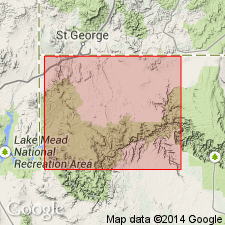
Clarifies nomenclature of Lower Permian clastic units below Leonardian Toroweap Formation in northwest AZ, southeast NV, and southwest UT. Where the lowermost part of this sequence intertongues with the underlying Pakoon Limestone, the sequence is called the Esplanade Sandstone. Where intertonguing does not occur the name Queantoweap Sandstone should be used. Esplanade is restricted to Grand Canyon region, including Grand Wash and Hurricane Cliffs area of Colorado Plateaus province of northwest AZ [Plateau sedimentary province]. Nomenclatural change occurs approximately at Basin-and-Range - Colorado Plateaus transition which is along Grand Wash Cliffs. Lower part of Esplanade intertongues with Pakoon and overlies Wescogame Formation of Supai Group; underlies Hermit Formation (redescribed). Thickness at Hidden Canyon is 158 m; at Hurricane Cliffs is 174 m. Comparison of nomenclature previously used in region (fig. 2). Measured sections. Early Permian age.
Source: GNU records (USGS DDS-6; Denver GNULEX).
For more information, please contact Nancy Stamm, Geologic Names Committee Secretary.
Asterisk (*) indicates published by U.S. Geological Survey authors.
"No current usage" (†) implies that a name has been abandoned or has fallen into disuse. Former usage and, if known, replacement name given in parentheses ( ).
Slash (/) indicates name conflicts with nomenclatural guidelines (CSN, 1933; ACSN, 1961, 1970; NACSN, 1983, 2005, 2021). May be explained within brackets ([ ]).