- Usage in publication:
-
- Eminence formation
- Modifications:
-
- Overview
- AAPG geologic province:
-
- Ozark uplift
Summary:
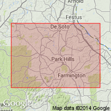
Pg. 58. Eminence formation. In southeastern part of State Dr. E.O. Ulrich has recognized above Potosi formation a cherty member which he has named [see entry under Ulrich, 1911] Eminence formation. Writer is unfamiliar with this formation. It does not occur in southern, western, and eastern part of Ozark region, which have been the special fields of study of writer.
E.R. Buckley, 1908 (Amer. Min. Cong. Rpt., Proc. 10th Ann. sess., p. 286) gave, in table of Missouri formations, the following downward succession: Roubidoux; Gasconade; unconformity; Proctor; Eminence; Potosi; unconformity; Elvins (with Doe Run at top). [Age is Late Cambrian.]
Source: US geologic names lexicon (USGS Bull. 896, p. 684-685); supplemental information from GNU records (USGS DDS-6; Reston GNULEX).
- Usage in publication:
-
- Eminence chert*
- Modifications:
-
- Principal reference
- Dominant lithology:
-
- Dolomite
- AAPG geologic province:
-
- Ozark uplift
Summary:
Pl. 27, p. 629-633. Eminence chert. Very cherty dolomite that rests, apparently unconformably, on Potosi limestone or overlaps that formation and then usually comes in contact with pre-Cambrian porphyry. Above, it is limited by base of Proctor dolomite. Thickness in Shannon County not less than 200 feet. Widely distributed in Missouri. Well displayed in valleys of Carter and Reynolds Counties. Also comes to surface in some deep valleys near the Osage, in northern part of Camden and southern part of Morgan Counties. [Age is Late Cambrian.]
Named from Eminence, Shannon Co., southeastern MO.
Source: US geologic names lexicon (USGS Bull. 896, p. 684-685); supplemental information from GNU records (USGS DDS-6; Reston GNULEX).
- Usage in publication:
-
- Eminence formation
- Modifications:
-
- Revised
- Areal extent
- AAPG geologic province:
-
- Ozark uplift
Summary:
Suggested Eminence formation may include Proctor formation. [See 1914 entry under Proctor dolomite.]
Source: US geologic names lexicon (USGS Bull. 896, p. 684-685).
- Usage in publication:
-
- Eminence formation
- Modifications:
-
- Revised
- Areal extent
- AAPG geologic province:
-
- Ozark uplift
Summary:
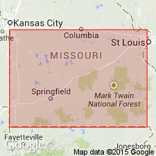
Pg. 1699-1718. Eminence formation, 150 feet thick, underlies Proctor and overlies Potosi. [Same definition given by C.L. Dake, 1918 (Missouri Geol. and Mines, v. 15, 2nd ser.).]
Source: US geologic names lexicon (USGS Bull. 896, p. 684-685).
- Usage in publication:
-
- Eminence formation
- Modifications:
-
- Areal extent
- AAPG geologic province:
-
- Ozark uplift
Branson, E.B., 1918, Geology of Missouri: University of Missouri Bulletin, v. 19, no. 15, 178 p.
Summary:
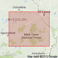
Eminence formation, 0 to 300 feet thick, consists mainly of compact medium- to coarse-grained, sometimes oolitic cherty dolomite; chert mostly light and porous, but some layers are white and dense. Occurs in southeastern part of State, on eastern flank of Ozarks. Unconformably underlies Gasconade formation and overlies Potosi formation. Further investigation may show that Eminence is same as Proctor formation, 0 to 60 feet thick, of western flank of Ozarks. [Age is Late Cambrian.]
Source: US geologic names lexicon (USGS Bull. 896, p. 684-685).
- Usage in publication:
-
- Eminence formation
- Modifications:
-
- Areal extent
- AAPG geologic province:
-
- Ozark uplift
- Illinois basin
Summary:
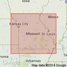
Eminence formation. Very cherty dolomite, few feet to 200+/- feet. Unconformably underlies Proctor formaiton and unconformably overlies Potosi dolomite. Typically exposed in Shannon, Carter, Reynolds, and parts of Jefferson, Franklin, Washington, and Ste. Genevieve Counties, but thus far not identified in other parts of State. [Age is Late Cambrian.]
Source: US geologic names lexicon (USGS Bull. 896, p. 684-685).
- Usage in publication:
-
- Eminence dolomite*
- Modifications:
-
- Areal extent
- Biostratigraphic dating
- AAPG geologic province:
-
- Ozark uplift
Summary:
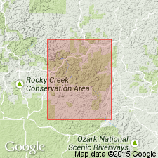
Pg. 57 (table 2), 75-97, geol. map. Eminence dolomite. Described in Eminence and Cardareva quadrangles, Missouri. In Eminence region, consists of massive, gray crystalline, poorly bedded dolomite. Weathers to rusty porous cherts. Thickness 250 to 310 feet (table 2); average about 200. Overlies Potosi dolomite or overlaps Potosi and rests on Precambrian; unconformably underlies Gunter sandstone member of Van Buren formation. Fauna described. Age is Late Cambrian (Croixan).
Source: Publication; US geologic names lexicon (USGS Bull. 896, p. 1258-1259).
- Usage in publication:
-
- Eminence formation
- Modifications:
-
- Areal extent
- AAPG geologic province:
-
- Ozark uplift
Summary:
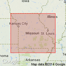
Pg. 52 (fig. 2), 53-55. Eminence formation. Massive, cherty dolomite. Thickness 90 to 300 feet. Overlies Potosi dolomite; underlies Gasconade formation. Age is Late Cambrian (Ozarkian).
In this report, Gasconade is used in its earlier unrestricted sense to include all strata between the Eminence and the Roubidoux.
Source: Publication; US geologic names lexicon (USGS Bull. 896, p. 1258-1259).
- Usage in publication:
-
- Eminence formation
- Modifications:
-
- Contact revised
- Areal extent
- AAPG geologic province:
-
- Ozark uplift
Summary:
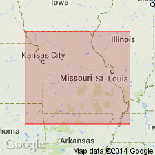
Pg. 57. Eminence formation. Underlies Gunter member of Gasconade formation. [Age is Late Cambrian.]
Source: US geologic names lexicon (USGS Bull. 896, p. 1258-1259).
- Usage in publication:
-
- Eminence Dolomite
- Modifications:
-
- Overview
Summary:
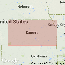
(Paleozoic Era; [Cambrian through Mississippian Systems] by E.D. Goebel, p. 13.) Eminence Dolomite of Arbuckle Group. Cherty, buff to white, very coarsely crystalline dolomite makes up the Eminence. Vitreous semitranslucent chert contains cavities encrusted by finely crystalline quartz. The chert commonly is mixed so intimately with the dolomite that insoluble residues consist dominantly of chert with Iacelike, interconnecting molds of dolomite crystals. An angular unconformity separates the Eminence from the Bonneterre [Dolomite]. Occurrence of Eminence deposits in eastern Kansas is confined mostly to a belt three counties wide bordering Missouri. It is recognized also in parts of western Kansas. The formation thickens eastward from 0 to more than 150 feet at the Missouri state line. Thicknesses of 40 to 90 feet are reported in west-central Kansas.
Source: Publication.

- Usage in publication:
-
- Eminence Formation
- Modifications:
-
- Overview
- AAPG geologic province:
-
- Illinois basin
Summary:
Eminence Formation of Knox Dolomite Megagroup underlies most of Illinois except in northern part where truncated by sub-Tippecanoe unconformity at base of St. Peter Sandstone. Over Ashton Arch, appears to thin to a feather edge. No surface exposures in Illinois. Consists of light-gray to brown or pink, sandy, fine- to medium-grained dolomite that contains oolitic chert and thin beds of sandstone. Contains less drusy quartz than underlying Potosi Dolomite, and is sandier and finer grained than overlying Oneota Formation. In southern third of Illinois, loses much of its sand and becomes an undifferentiated part of Knox Dolomite Megagroup. Includes Momence Sandstone Member at its base. Thickness is 50 to 250 feet in areas where overlain by Gunter Sandstone or Oneota Dolomite. In extreme northwestern Illinois, grades laterally into Jordan Sandstone. Age is Late Cambrian (Trempealeauan).
Source: GNU records (USGS DDS-6; Reston GNULEX).
- Usage in publication:
-
- Eminence Formation*
- Modifications:
-
- Areal extent
- AAPG geologic province:
-
- Illinois basin
- Ozark uplift
Summary:
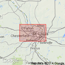
Eminence Formation occurs in subsurface of Missouri and Illinois in St. Louis area. Age is Late Cambrian (Croixan) and Early Ordovician (Canadian) following Kurtz (1981) who suggests that Cambrian-Ordovician boundary probably occurs in upper part of formation.
Source: Modified from GNU records (USGS DDS-6; Reston GNULEX).
- Usage in publication:
-
- Eminence Formation*
- Modifications:
-
- Revised
- Areal extent
- AAPG geologic province:
-
- Illinois basin
- Ozark uplift
Summary:
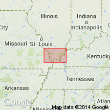
Eminence Formation occurs on Ozark dome in Missouri and in subsurface of Illinois and Kentucky where it is assigned to Knox Group. In subsurface, difficult to distinguish from Davis, Derby, and Doe Run Formations, and Potosi Dolomite. Age is Cambrian (Croixan).
Source: Modified from GNU records (USGS DDS-6; Reston GNULEX).
- Usage in publication:
-
- Eminence Dolomite*
- Modifications:
-
- Areal extent
- AAPG geologic province:
-
- Upper Mississippi embayment
- Illinois basin
Summary:
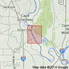
Eminence Dolomite mapped in subsurface of Upper Mississippi embayment in Missouri and Illinois basin in Illinois. Age is Late Cambrian to Early Ordovician (Croixan to Canadian).
Source: Modified from GNU records (USGS DDS-6; Reston GNULEX).
For more information, please contact Nancy Stamm, Geologic Names Committee Secretary.
Asterisk (*) indicates published by U.S. Geological Survey authors.
"No current usage" (†) implies that a name has been abandoned or has fallen into disuse. Former usage and, if known, replacement name given in parentheses ( ).
Slash (/) indicates name conflicts with nomenclatural guidelines (CSN, 1933; ACSN, 1961, 1970; NACSN, 1983, 2005, 2021). May be explained within brackets ([ ]).

