- Usage in publication:
-
- Elway limestone
- Modifications:
-
- Named
- Dominant lithology:
-
- Limestone
- AAPG geologic province:
-
- Appalachian basin
Summary:
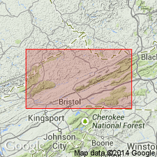
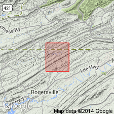
Named the Elway for settlement of Elway, near Lebanon, Russell Co., VA. Consists of dove gray to dark bluish gray fine-grained argillaceous limestones containing chert which weathers into characteristic blocks. Average thickness is 35 to 40 feet. Unit overlies the Blackford formation and underlies the Five Oaks limestone. The Elway is of Middle Ordovician age.
Source: GNU records (USGS DDS-6; Reston GNULEX).

- Usage in publication:
-
- Elway limestone member
- Modifications:
-
- Revised
- AAPG geologic province:
-
- Appalachian basin
Summary:
Revised the Elway to the Elway limestone member of the Lurich formation. Unit consists of black cherty calcitite and gray light weathering calcilutite with black chert and DINORTHIS. Thickness is 92 feet. Unit overlies the Blackford member of the Lurich formation and underlies the Five Oaks member of the Lurich formation.
Source: GNU records (USGS DDS-6; Reston GNULEX).

- Usage in publication:
-
- Elway Limestone
- Modifications:
-
- Age modified
- AAPG geologic province:
-
- Appalachian basin
Summary:
The Elway Limestone is shown on stratigraphic column to be of Early Ordovician age. Consists of olive to dark gray, fine-grained, commonly thin-bedded limestone, with some gray calcilutite, shaly fine-grained limestone, and abundant gray blocky chert. Unit overlies the Blackford Formation and underlies the Lonesome Pine Formation.
Source: GNU records (USGS DDS-6; Reston GNULEX).

- Usage in publication:
-
- Elway Limestone*
- Modifications:
-
- Areal extent
- AAPG geologic province:
-
- Appalachian basin
Summary:
Geographically extended the Elway Limestone into the subsurface of WV in section F-F'. Unit occurs in the eastern end of the section in the Valley and Ridge province between the St. Clair and Pulaski thrust faults of VA and WV. Overlies the Blackford Formation and underlies the Five Oaks Limestone.
Source: GNU records (USGS DDS-6; Reston GNULEX).
For more information, please contact Nancy Stamm, Geologic Names Committee Secretary.
Asterisk (*) indicates published by U.S. Geological Survey authors.
"No current usage" (†) implies that a name has been abandoned or has fallen into disuse. Former usage and, if known, replacement name given in parentheses ( ).
Slash (/) indicates name conflicts with nomenclatural guidelines (CSN, 1933; ACSN, 1961, 1970; NACSN, 1983, 2005, 2021). May be explained within brackets ([ ]).

