- Usage in publication:
-
- East Lynn sandstone
- Modifications:
-
- Named
- Dominant lithology:
-
- Sandstone
- AAPG geologic province:
-
- Appalachian basin
Summary:
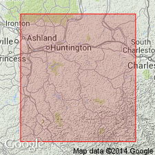
East Lynn is a massive, cliff-forming sandstone, 50 to 100 ft thick. Underlies Upper Kittanning coal and separated from underlying Middle Kittanning coal by 0 to 5 ft of slate. At East Lynn, Wayne Co., it forms massive cliffs 40 to 60 ft high.
Source: GNU records (USGS DDS-6; Reston GNULEX).

- Usage in publication:
-
- Upper East Lynn/East Lynn sandstone
- Modifications:
-
- Revised
- AAPG geologic province:
-
- Appalachian basin
Summary:
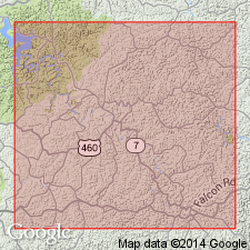
Upper East Lynn sandstone is massive to current-bedded, medium grained to coarse-grained, highly siliceous, grayish white, conglomeratic, frequently almost a mass of white and ovoidal-shaped quartz pebbles 0.25 to 0.5 in. in diameter. Forms cliffs. Thickness is 50 to 80 ft. Underlies Upper Kittanning coal and overlies Middle Kittanning coal. The name East Lynn sandstone is herein limited to the ledge, 25 to 70 ft thick, lying between Middle Kittanning coal and Lower Kittanning coal.
Source: GNU records (USGS DDS-6; Reston GNULEX).

- Usage in publication:
-
- East Lynn conglomerate
- Modifications:
-
- Areal extent
- Revised
- Dominant lithology:
-
- Conglomerate
- AAPG geologic province:
-
- Appalachian basin
Summary:
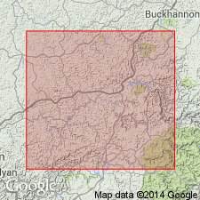
The only representative of the Allegheny that was observed in Morgan Co., KY, was the basal member which is called East Lynn conglomerate. It is a true conglomerate, and where it caps the hills, is cliff-forming.
Source: GNU records (USGS DDS-6; Reston GNULEX).

- Usage in publication:
-
- East Lynn sandstone
- Modifications:
-
- Overview
- AAPG geologic province:
-
- Appalachian basin
Summary:
Unit is a massive unranked sandstone exposed at East Lynn, Stonewall district, Wayne Co., WV. Occurs in lower part of Allegheny Formation. 50 to 100 ft thick. Locally conglomeratic. Extends to KY.
Source: GNU records (USGS DDS-6; Reston GNULEX).
For more information, please contact Nancy Stamm, Geologic Names Committee Secretary.
Asterisk (*) indicates published by U.S. Geological Survey authors.
"No current usage" (†) implies that a name has been abandoned or has fallen into disuse. Former usage and, if known, replacement name given in parentheses ( ).
Slash (/) indicates name conflicts with nomenclatural guidelines (CSN, 1933; ACSN, 1961, 1970; NACSN, 1983, 2005, 2021). May be explained within brackets ([ ]).

