The National Geologic Map Database is migrating to a new infrastructure. We apologize for any service disruptions during this process.
|
|---|


- Usage in publication:
-
- Dye Shale Member*
- Modifications:
-
- Named
- Dominant lithology:
-
- Siltstone
- Claystone
- AAPG geologic province:
-
- Arkoma basin
Summary:
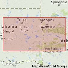
Pg. D42-D43. Dye Shale Member of Bloyd Shale. Predominantly dark-gray to black shaly siltstone and claystone. Thin lenticular limestone beds and calcareous zones present locally. Basal unit is referred to as "caprock of the Baldwin coal." Thickness 60 to 110 feet. Overlies Woolsey Member; underlies Kessler Limestone Member. Age is Early Pennsylvanian (Morrow).
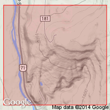
Type locality: from E/2 sec. 3 to center of north side sec. 4, T. 14 N., R. 30 W., Washington Co., northwestern AR. Named from Dye Creek.
Source: US geologic names lexicon (USGS Bull. 1350, p. 229).
- Usage in publication:
-
- Dye Shale Member*
- Modifications:
-
- Age modified
Summary:
Pg. A10-A11, A54, A56-A57 (fig. 5). Dye Shale Member of Bloyd Formation or Bloyd Shale. Present in northwest Ozark region, Arkansas. Age changed from Early Pennsylvanian (Morrowan) to: Middle Pennsylvanian (Morrowan; early Westphalian A of Europe); foram zone 20 and ammonoid zone AXINOLOBUS MODULUS. [See also Mackenzie Gordon, Jr., and G.C. Stone, 1976, Arkansas Geol. Commission Symposium on the geology of the Ouachita Mountains, v. 1.]
Source: Publication.
For more information, please contact Nancy Stamm, Geologic Names Committee Secretary.
Asterisk (*) indicates published by U.S. Geological Survey authors.
"No current usage" (†) implies that a name has been abandoned or has fallen into disuse. Former usage and, if known, replacement name given in parentheses ( ).
Slash (/) indicates name conflicts with nomenclatural guidelines (CSN, 1933; ACSN, 1961, 1970; NACSN, 1983, 2005, 2021). May be explained within brackets ([ ]).