

- Usage in publication:
-
- Drip Tank Member*
- Modifications:
-
- Named
- Dominant lithology:
-
- Sandstone
- AAPG geologic province:
-
- Plateau sedimentary province
Summary:
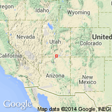
Named as upper member (of four named members) of Straight Cliffs Formation for exposures on north side of Drip Tank Canyon, Kane Co., UT. Type section measured in NE1/4 NE1/4 sec 24, T40S, R3E. Occurs in Plateau sedimentary province. Consists of gray, pale-yellowish-brown to grayish-orange, fine- to coarse-grained, very thin bedded, thin bedded and cross-bedded sandstone. Is 141 ft thick at type. Forms cliff; has one slope-forming bed. Overlies John Henry Member; underlies Wahweap Formation. Probably deposited in a fluvial environment. Has no diagnostic fossils. Age thought to be early Campanian, or Late Cretaceous.
Source: GNU records (USGS DDS-6; Denver GNULEX).
For more information, please contact Nancy Stamm, Geologic Names Committee Secretary.
Asterisk (*) indicates published by U.S. Geological Survey authors.
"No current usage" (†) implies that a name has been abandoned or has fallen into disuse. Former usage and, if known, replacement name given in parentheses ( ).
Slash (/) indicates name conflicts with nomenclatural guidelines (CSN, 1933; ACSN, 1961, 1970; NACSN, 1983, 2005, 2021). May be explained within brackets ([ ]).