- Usage in publication:
-
- Dorr Run shale member
- Modifications:
-
- Named
- Dominant lithology:
-
- Shale
- AAPG geologic province:
-
- Appalachian basin
Summary:
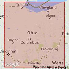
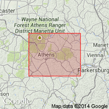
Name proposed for fossiliferous shale overlying the Lower Freeport coal in an exposure on southwest side of Dorr Run valley, 1.6 mi northwest of junction of road along Dorr Run with Logan-Nelsonville Road. Typically gray to dark-gray or even black argillaceous carbonaceous fossiliferous marine shale. In vicinity of Downhour School in Ward Township, member is light gray and argillaceous. Average thickness is 17 in. Age is Pennsylvanian.
Source: GNU records (USGS DDS-6; Reston GNULEX).

- Usage in publication:
-
- Dorr Run shale member
- Modifications:
-
- Revised
- AAPG geologic province:
-
- Appalachian basin
Summary:
Revised as member of Lower Freeport cyclothem in Allegheny series.
Source: GNU records (USGS DDS-6; Reston GNULEX).

- Usage in publication:
-
- Dorr Run shale
- Modifications:
-
- Overview
- AAPG geologic province:
-
- Appalachian basin
Summary:
Dorr Run is a thin unranked shale in the Allegheny Formation of OH containing marine to brackish-water fauna. Directly overlies Lower Freeport coal.
Source: GNU records (USGS DDS-6; Reston GNULEX).
For more information, please contact Nancy Stamm, Geologic Names Committee Secretary.
Asterisk (*) indicates published by U.S. Geological Survey authors.
"No current usage" (†) implies that a name has been abandoned or has fallen into disuse. Former usage and, if known, replacement name given in parentheses ( ).
Slash (/) indicates name conflicts with nomenclatural guidelines (CSN, 1933; ACSN, 1961, 1970; NACSN, 1983, 2005, 2021). May be explained within brackets ([ ]).

