The National Geologic Map Database is migrating to a new infrastructure. We apologize for any service disruptions during this process.
|
|---|


- Usage in publication:
-
- Dodds Creek sandstone
- Modifications:
-
- Principal reference
- Dominant lithology:
-
- Sandstone
- Shale
- AAPG geologic province:
-
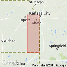
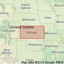
- Cherokee basin
Summary:
Pg. 99, 101, 103. Dodds Creek sandstone is proposed for the sandstone in upper part of Galesburg shale. Age is Late Pennsylvanian (Missouri age). [On p. 102 he stated Dodds Creek sandstone consists of sandstone and sandy shale. On p. 26 he described it as yellow sandy shale 5 feet thick.]
Named from Dodds Creek, Labette Co., eastern KS.
Source: US geologic names lexicon (USGS Bull. 896, p. 616).

- Usage in publication:
-
- Dodds Creek sandstone member
- Modifications:
-
- Overview
- Dominant lithology:
-
- Sandstone
- Shale
- AAPG geologic province:
-
- Cherokee basin
Summary:
Pg. 97. Dodds Creek sandstone member of Galesburg shale of Bronson group. Galesburg shale includes Dodds Creek sandstone. Age is Late Pennsylvanian (Missouri age). [All.]
Source: US geologic names lexicon (USGS Bull. 896, p. 616); GNC KS-NE Pennsylvanian Corr. Chart, sheet 2, Oct. 1936.
- Usage in publication:
-
- Dodds Creek sandstone
- Modifications:
-
- Areal extent
- AAPG geologic province:
-
- Cherokee basin
Summary:
Pg. 133. Upper part of Galesburg shale is named Dodds Creek sandstone. Age is Pennsylvanian.
Source: US geologic names lexicon (USGS Bull. 896, p. 616).
- Usage in publication:
-
- Dodds Creek sandstone member
- Modifications:
-
- Areal extent
- AAPG geologic province:
-
- Cherokee basin
Summary:
Pg. 40 (table), 42. Dodds Creek sandstone member of Coffeyville shale. Included in Coffeyville shale (restricted) in northeastern Oklahoma.
Source: US geologic names lexicon (USGS Bull. 1200, p. 1128).

- Usage in publication:
-
- Dodds Creek sandstone member
- Modifications:
-
- Overview
- AAPG geologic province:
-
- Cherokee basin
Summary:
Pg. 83, 87. Dodds Creek sandstone member of Coffeyville shale. [Occurs in Galesburg shale in southern Kansas.] Massive to thin-bedded sandstone, seemingly of deltaic origin; thickness as much as 40 feet. Age is Late Pennsylvanian (Missourian).
Source: US geologic names lexicon (USGS Bull. 1200, p. 1128).
For more information, please contact Nancy Stamm, Geologic Names Committee Secretary.
Asterisk (*) indicates published by U.S. Geological Survey authors.
"No current usage" (†) implies that a name has been abandoned or has fallen into disuse. Former usage and, if known, replacement name given in parentheses ( ).
Slash (/) indicates name conflicts with nomenclatural guidelines (CSN, 1933; ACSN, 1961, 1970; NACSN, 1983, 2005, 2021). May be explained within brackets ([ ]).