- Usage in publication:
-
- Dobbs Buttes Member*
- Modifications:
-
- Named
- Geochronologic dating
- Dominant lithology:
-
- Rhyolite
- AAPG geologic province:
-
- Basin-and-Range province
Summary:
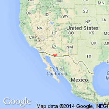
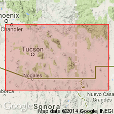
Named as a member of the newly named Roskruge Rhyolite. Type section is along a south-trending line through the main peaks of the Dobbs Buttes, Pima Co, AZ in the Basin-and-Range province. Is made up mostly of rhyolitic pyroclastic rocks. Intertongues with laterally equivalent the newly named Pescadero Member. About 1,250 ft thick. Two tuff units in member have been radiometrically dated as 74 and 71 Ma. Is Mesozoic. Probably is Late Cretaceous. Geologic map.
Source: GNU records (USGS DDS-6; Denver GNULEX).

- Usage in publication:
-
- Dobbs Buttes Member*
- Modifications:
-
- Age modified
- AAPG geologic province:
-
- Basin-and-Range province
Summary:
Roskruge Rhyolite (of which Dobbs Buttes is a member) is considered to be Late Cretaceous.
Source: GNU records (USGS DDS-6; Denver GNULEX).
For more information, please contact Nancy Stamm, Geologic Names Committee Secretary.
Asterisk (*) indicates published by U.S. Geological Survey authors.
"No current usage" (†) implies that a name has been abandoned or has fallen into disuse. Former usage and, if known, replacement name given in parentheses ( ).
Slash (/) indicates name conflicts with nomenclatural guidelines (CSN, 1933; ACSN, 1961, 1970; NACSN, 1983, 2005, 2021). May be explained within brackets ([ ]).

