The National Geologic Map Database is migrating to a new infrastructure. We apologize for any service disruptions during this process.
|
|---|


- Usage in publication:
-
- Dixon clay
- Modifications:
-
- Named
- Dominant lithology:
-
- Clay
- AAPG geologic province:
-
- Cincinnati arch
Summary:
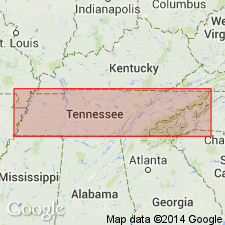
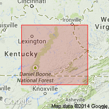
Name Dixon clay applied to red clays, 30 to 40 ft thick, near Dixon Spring, Decatur Co., west-central TN. Overlies Lego limestone and underlies white limestones and clays of Brownsport bed in Tennessee River Valley. Contact with Lego is not sharply defined. Contains some fossils of Silurian (Niagaran) age.
Source: GNU records (USGS DDS-6; Reston GNULEX).
- Usage in publication:
-
- Dixon earthy limestone member*
- Modifications:
-
- Revised
- AAPG geologic province:
-
- Cincinnati arch
Summary:
Dixon revised as top member of Wayne formation. Overlies Lego limestone member of Wayne; underlies Brownsport formation.
Source: GNU records (USGS DDS-6; Reston GNULEX).
- Usage in publication:
-
- Dixon formation
- Modifications:
-
- Revised
- AAPG geologic province:
-
- Cincinnati arch
Summary:
Dixon formation of Wayne group. Included in Wayne group. Consists of an alternation of several lithologic types, all of which are argillaceous; these include beds of calcareous shale as much as 5 feet thick, massive calcareous mudstone averaging about 5 feet in thickness but being locally as much as 10 or 15 feet thick, earthy limestone, and uniformly bedded, argillaceous limestone containing disseminated silt; this latter type is ordinarily concentrated near base of formation and represents the gradation between the Lego and Dixon. Western part of formation (fig. 76) is usually brick red; the eastern part is usually gray, commonly greenish gray; color change is commonly quite rapid and may locally occur with distance of 1 mile. Thickness varies owing to gradation into underlying Lego; average thickness about 38 feet where overlain by Beech River formation. Locally overlain unconformably by Pegram formation or Chattanooga shale. [Age is Middle Silurian.]
Source: US geologic names lexicon (USGS Bull. 1200, p. 1125).
- Usage in publication:
-
- Dixon Member
- Modifications:
-
- Areal extent
- AAPG geologic province:
-
- Cincinnati arch
Summary:
Maddox member of Wayne Formation (Foerste, 1903) is reinstated. Laurel and Osgood Members not used in this report. Dixon Member, uppermost member of Wayne, underlies Brownsport Formation and overlies Lego Member.
Source: GNU records (USGS DDS-6; Reston GNULEX).
- Usage in publication:
-
- Dixon Formation
- Modifications:
-
- Areal extent
- AAPG geologic province:
-
- Cincinnati arch
Summary:
Dixon Formation ranges from 30 to 80 ft thick. Underlies Beech River Formation and overlies Lego Formation. Grades westward into Moccasin Springs Formation and northward into Wabash Formation. Age is Middle Silurian (Niagaran).
Source: GNU records (USGS DDS-6; Reston GNULEX).
- Usage in publication:
-
- Dixon Formation*
- Modifications:
-
- Areal extent
- AAPG geologic province:
-
- Cincinnati arch
Summary:
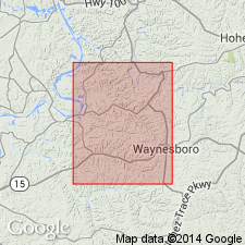
Used as Silurian Dixon Formation of Wayne Group in du Pont Geohydrological Survey well near Waverly, Humphreys Co., central TN.
Source: GNU records (USGS DDS-6; Reston GNULEX).
For more information, please contact Nancy Stamm, Geologic Names Committee Secretary.
Asterisk (*) indicates published by U.S. Geological Survey authors.
"No current usage" (†) implies that a name has been abandoned or has fallen into disuse. Former usage and, if known, replacement name given in parentheses ( ).
Slash (/) indicates name conflicts with nomenclatural guidelines (CSN, 1933; ACSN, 1961, 1970; NACSN, 1983, 2005, 2021). May be explained within brackets ([ ]).