

- Usage in publication:
-
- Desert Creek zone
- Modifications:
-
- Named
- Dominant lithology:
-
- Limestone
- Anhydrite
- AAPG geologic province:
-
- Paradox basin
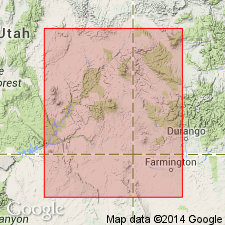
Summary:
Designated as lower of two major oil producing zones in Paradox Salt basin and assigned to upper part of Paradox member of Hermosa formation. Probably named for Shell Desert Creek No. 2, discovery well for Desert Creek field, sec 35, T41S, R23E, San Juan Co, UT. No type section designated, though occurs in 5244-5330 ft pay interval in discovery well. Zone is productive at Aneth, Desert Creek, North Desert Creek, and Bluff fields, San Juan Co, UT and Dove Creek field, Montezuma Co, CO, Paradox basin. Zone represents partial evaporite cycle grading vertically from basal normal marine partly dolomitized limestone into penesaline carbonates with some thin anhydrite laminae into anhydrite deposited in saline environment; bounded by black shale above and below. Zone at Desert Creek field is vuggy fossil-hash limestone. Zone in discovery well at Aneth field is divided into an upper 120 ft of porous and permeable, partly dolomitic limestone and lower 60-70 ft of limestone and dolomite with excellent porosity and permeability due in part to loose cementation of fossil-hash. Underlies Bluff zone (new) of upper member of Hermosa. Stratigraphic chart; cross sections. Assigned Des Moines (Pennsylvanian) age.
Source: GNU records (USGS DDS-6; Denver GNULEX).
- Usage in publication:
-
- Desert Creek Substage
- Modifications:
-
- Revised
- AAPG geologic province:
-
- Paradox basin
- Black Mesa basin
- San Juan basin
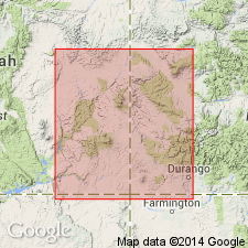
Summary:
Revised from informal subsurface pay zone within Hermosa Group or Hermosa Formation to third of four (ascending) substages of Four Corners Stage (new) in Four Corners area of southeast UT, southwest CO, northwest NM, and northeast AZ, within Paradox, San Juan, and Black Mesa basins. This substage is the upper of three of the substages of the Four Corners to be assigned to the Paradox Formation of the Hermosa Group. Desert Creek is shale bounded and is nearly time-equivalent across broad areas of Colorado Plateau. Unit is easily recognized by use of mechanical and sample logs, and fusulinids (FUSULINA NOVAMEXICANA). Diagrammatic cross sections; nomenclature chart. Older than Ismay Substage (revised) of Four Corners Stage; younger than Akah Substage (revised) of Four Corners Stage. Desmoinesian (Pennsylvanian) age.
Source: GNU records (USGS DDS-6; Denver GNULEX).
- Usage in publication:
-
- Desert Creek production interval
- Modifications:
-
- Overview
- Dominant lithology:
-
- Shale
- Anhydrite
- Dolostone
- Halite
- AAPG geologic province:
-
- Paradox basin
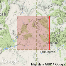
Summary:
Is fourth (of 5, ascending) production interval in the Paradox Member (Atokan? and Desmoinesian) of the Middle and Upper Pennsylvanian Hermosa Formation (Atokan, Desmoinesian, Missourian, and Virgilian) in the Paradox basin of southeast UT and southwest CO. Overlies Akah production interval. Underlies Ismay production interval. Includes evaporite cycles 5-4 (ascending) and in the lower part of cycle 5 includes the informal "Chimney Rock" black shale unit. "The base and top of the Paradox Member of the Hermosa Formation is usually defined by the first and last halite beds. In the deep part of the Paradox basin, the member consists of 29 identifiable evaporite cycles (Hite, 1960), and its maximum depositional thickness was probably about 7,000 ft (2130.9 m). These cycles are bounded by disconformities and when complete the sequential order from the base upward is (a) anhydrite, (b) very silty fine grained dolomite, (c) silty calcareous black shale, (d) silty fine grained dolostone, (e) anhydrite, and (f) halite with or without potash salts. With the exception of the black shale unit, all of the elements of the cycle were deposited in response to salinity changes in the brine basin. In the deep part of the Paradox basin, the cyclical sequence consists of up to 80 percent halite. Going from basin deep to basin shelf, the amount of halite in the cycles diminishes while the percentage of dolostone and anhydrite increases."
Source: GNU records (USGS DDS-6; Denver GNULEX).
For more information, please contact Nancy Stamm, Geologic Names Committee Secretary.
Asterisk (*) indicates published by U.S. Geological Survey authors.
"No current usage" (†) implies that a name has been abandoned or has fallen into disuse. Former usage and, if known, replacement name given in parentheses ( ).
Slash (/) indicates name conflicts with nomenclatural guidelines (CSN, 1933; ACSN, 1961, 1970; NACSN, 1983, 2005, 2021). May be explained within brackets ([ ]).