- Usage in publication:
-
- Demopolis division
- Modifications:
-
- Named
- Dominant lithology:
-
- Limestone
- Clay
- AAPG geologic province:
-
- Black Warrior basin
Summary:
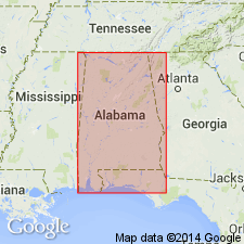
Middle or Demopolis division of Selma chalk is of more uniform composition than upper division of the Selma, and freer from clay, It is made up of limestone, generally containing less than 25 percent of clayey matter. Fossils are rarer than in other divisions. The lowermost beds of Demopolis division are a compact limestone of great purity called horsebone rock. Overlain by Portland division of Selma Chalk and underlain by Selma division. Thickness about 300 ft. Age is Late Cretaceous. . [Later workers did not find it feasible to make the three subdivisions of the Selma indicated in this report, and the names have been discarded (See AL Geol. Survey Special Report No. 14, 1926, p. 239).
Source: GNU records (USGS DDS-6; Reston GNULEX).
- Usage in publication:
-
- Demopolis member*
- Modifications:
-
- Reinstated
- Revised
- AAPG geologic province:
-
- Mid-Gulf Coast basin
Summary:
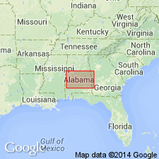
Smith (1903) divided the Selma chalk into three divisions: upper, or Portland; middle, or Demopolis; and lower, or Selma. Later workers did not follow Smith in his threefold division of Selma, but recent works show that subdivision of Selma is not only practicable but desirable. In present paper, Smith's Selma division is represented almost exactly by the unnamed lower marly member of Selma chalk, but because name Selma chalk has long been established for formation as a whole, its additional use to designate member of same formation would be confusing. Smith's Demopolis division is represented by Arcola limestone member and lower part of Demopolis member. Smith's Portland division is represented in western AL by upper part of Demopolis member, Ripley formation, and Prairie Bluff chalk, and in central AL by upper part of Demopolis member and lower part of Ripley formation. Specifically in this report Demopolis member of Selma chalk includes all chalky and marly beds between diastem above Arcola limestone member below and Ripley formation above. Estimated thickness about 490 ft (estimates from wells). In Montgomery Co., member is split into two eastward-extending tongues by westward-extending tongue of Cusseta sand. Type locality stated.
Source: GNU records (USGS DDS-6; Reston GNULEX).
- Usage in publication:
-
- Demopolis chalk member
- Modifications:
-
- Areal extent
- AAPG geologic province:
-
- Mid-Gulf Coast basin
Summary:
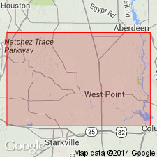
Demopolis chalk member geographically extended into MS. Thickness is about 410 ft in Clay Co. Overlies Arcola member; underlies Ripley formation.
Source: GNU records (USGS DDS-6; Reston GNULEX).
- Usage in publication:
-
- Demopolis formation
- Modifications:
-
- Revised
- AAPG geologic province:
-
- Mid-Gulf Coast basin
Summary:
Demopolis formation. Rank raised to formation in Selma group. [Age is Late Cretaceous.]
Source: US geologic names lexicon (USGS Bull. 1200, p. 1087-1088).
- Usage in publication:
-
- Demopolis chalk
- Modifications:
-
- Revised
- AAPG geologic province:
-
- Mid-Gulf Coast basin
Summary:
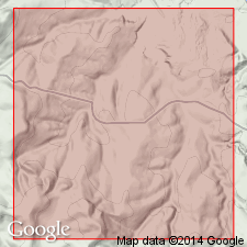
Demopolis chalk subdivided to include Bluffport marl member (new) at top.
Source: GNU records (USGS DDS-6; Reston GNULEX).
- Usage in publication:
-
- Demopolis chalk
- Modifications:
-
- Areal extent
- AAPG geologic province:
-
- Black Warrior basin
Summary:
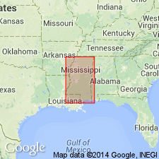
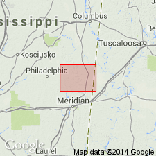
Demopolis chalk described in Kemper Co. where it includes Bluffport marl member at top. Thickness about 260 ft. Underlies Ripley formation. Oldest deposit exposed in county. In east-central MS, the Demopolis lies between Ripley formation above and Mooreville chalk below. In northern part of state, it is overlain by Owl Creek tongue of Ripley and underlain by Tupelo tongue of Coffee sand.
Source: GNU records (USGS DDS-6; Reston GNULEX).
- Usage in publication:
-
- Demopolis formation
- Modifications:
-
- Areal extent
- AAPG geologic province:
-
- Upper Mississippi embayment
Summary:
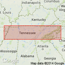
Demopolis formation recognized in western TN. Overlies Sardis formation (new). Grades laterally into Coon Creek formation. Age is Late Cretaceous. [Several geologic quadrangle maps in TN by E.E. Russell in years immediately following this dissertation also show Demopolis formation in TN.]
Source: GNU records (USGS DDS-6; Reston GNULEX).
- Usage in publication:
-
- Demopolis Chalk
- Modifications:
-
- Areal extent
- Overview
- AAPG geologic province:
-
- Mid-Gulf Coast basin
Summary:
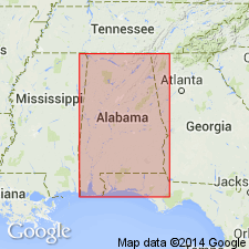
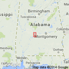
Demopolis Chalk of Selma Group, according to AL State usage, is a light-gray to medium-light gray fossiliferous chalk. The lower part of the formation consists of thin beds of marly chalk. The upper Bluffport Marl Member consists of 50 to 65 ft of massive chalky very dark-gray marl, very clayey chalk, and calcareous clay. The Demopolis Chalk is present from the MS State line in southern Pickens Co. to western Bullock Co. where it grades into the Ripley and Blufftown Formations. Thickness ranges from 495 ft in Sumter Co. to about 420 ft in western Montgomery Co. Age is Late Cretaceous (Campanian and Maastrichtian)
Source: GNU records (USGS DDS-6; Reston GNULEX).
- Usage in publication:
-
- Demopolis Chalk
- Modifications:
-
- Biostratigraphic dating
- AAPG geologic province:
-
- Mid-Gulf Coast basin
Summary:
In a composite reference section established in this report in Dallas Co., central AL, along the Alabama and Cahaba Rivers, the Tombigbee Sand Member of the Eutaw Formation and the lower 104 ft of the Mooreville Chalk are of late Santonian age as defined by the presence of DICARINELLA ASYMETRICA. The interval from 104 ft above the base of the Mooreville to 265 ft above the base of the Demopolis Chalk is assigned to the GLOBOTRUNCANITA ELEVATA Interval Zone of early to late Campanian age. The upper 95 ft of the Demopolis Chalk and the lower 50 ft of the Ripley Formation are assigned to the G. TRICARINATA Interval zone (early Maastrichtian). The ages of the stratigraphic units defined herein on the basis of a composite reference section in central AL using planktonic Foraminifera and ostracodes agree well with previous studies using calcareous microfossils. However, the ages of the units as published by King and Skotnicki (1992) and King (1993) are not based on any biostratigraphic or chronostratigraphic data and are suspect.
Source: GNU records (USGS DDS-6; Reston GNULEX).
For more information, please contact Nancy Stamm, Geologic Names Committee Secretary.
Asterisk (*) indicates published by U.S. Geological Survey authors.
"No current usage" (†) implies that a name has been abandoned or has fallen into disuse. Former usage and, if known, replacement name given in parentheses ( ).
Slash (/) indicates name conflicts with nomenclatural guidelines (CSN, 1933; ACSN, 1961, 1970; NACSN, 1983, 2005, 2021). May be explained within brackets ([ ]).

