

- Usage in publication:
-
- Decoy Limestone*
- Modifications:
-
- Named
- Dominant lithology:
-
- Limestone
- AAPG geologic province:
-
- Great Basin province
Summary:
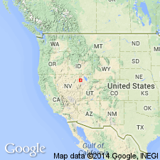
Named derived from Decoy, site along Nevada Northern Railroad, Decoy 7.5' quad. Type section designated as 60-m-thick massive, light-gray limestone exposed one km west of Morgan Pass, sec.21 T32N R68E, Morgan Pass 7.5' quad, northern Goshute Mountains, Elko Co, NV. Is equivalent to unit E of Day and others (1987). Is present south of Silver Zone Pass in central Toano Range and in northern Goshute Mountains. Overlies Morgan Pass Formation (new); underlies Shafter Formation (new). No faunas have been recovered; however, unit is bracketed by late Middle Cambrian faunas in adjacent formations. Age is considered Middle Cambrian.
Source: GNU records (USGS DDS-6; Menlo GNULEX).
For more information, please contact Nancy Stamm, Geologic Names Committee Secretary.
Asterisk (*) indicates published by U.S. Geological Survey authors.
"No current usage" (†) implies that a name has been abandoned or has fallen into disuse. Former usage and, if known, replacement name given in parentheses ( ).
Slash (/) indicates name conflicts with nomenclatural guidelines (CSN, 1933; ACSN, 1961, 1970; NACSN, 1983, 2005, 2021). May be explained within brackets ([ ]).