- Usage in publication:
-
- Day Creek dolomite
- Modifications:
-
- Original reference
- Dominant lithology:
-
- Dolomite
- AAPG geologic province:
-
- Anadarko basin
Summary:
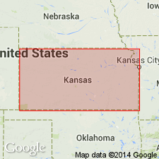
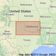
Pg. 3, 44. Day Creek dolomite. Nearly white true dolomite, weathers gray, often has a streaked and gnarly grain, 1 to 5 or more feet thick, overlying Red Bluff sandstones [Whitehorse sandstone of present (ca. 1938) nomenclature] and underlying Hackberry shales in Kansas. Included in Kiger division of the Cimarron series. Age is Permian.
Type locality not given. Named from Day Creek, Clark Co., central northern KS.
[For subsequent interpretations see under Quartermaster formation.]
Source: US geologic names lexicon (USGS Bull. 896, p. 576); supplemental information from GNU records (USGS DDS-6; Denver GNULEX).
- Usage in publication:
-
- "Day Creek dolomite"
- Modifications:
-
- Not used
- AAPG geologic province:
-
- Anadarko basin
- South Oklahoma folded belt
Summary:
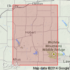
The term "Day Creek dolomite" of Cragin has been applied to Weatherford dolomite, Greenfield dolomite, and Quartermaster dolomite. It is believed its continued use will only serve to confuse. Writer does not know what bed, if any, in southwest Oklahoma, corresponds to Day creek dolomite of Kansas. Age is Permian.
Source: US geologic names lexicon (USGS Bull. 896, p. 576).
- Usage in publication:
-
- Day Creek dolomite
- Modifications:
-
- Not used
- AAPG geologic province:
-
- Anadarko basin
Summary:
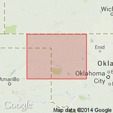
Pg. 434-437. Does not regard Evan's interpretation of stratigraphic relations of various formations as proved.
Source: US geologic names lexicon (USGS Bull. 896, p. 576).
- Usage in publication:
-
- Day Creek dolomite
- Modifications:
-
- Revised
- AAPG geologic province:
-
- Anadarko basin
Summary:
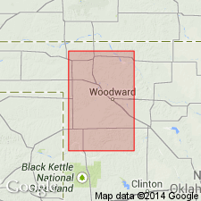
Pg. 405-432. Day Creek dolomite has 2 members. Upper and Lower Day Creek dolomites, separated by 1 to 3 feet of brown to maroon shale. The Day Creek was formerly supposed to occur below Cloud Chief gypsum. In this paper it is placed above Cloud Chief gypsum and conformably below Quartermaster formation. The Day Creek of type area (central Clark County, Kansas) consists of 2 feet of hard light-gray limestone or dolomitic limestone. Characteristic Whitehorse sand and shale are below it, and above is the dark red or maroon shale which makes a contrast in color to the reddish buff of the Whitehorse below. In this type area the Day Creek commonly contains aggregates of smoky or reddish chert. In Oklahoma, particularly in eastern Harper, western Woods, and northeastern Woodward Counties, this same description applies to the Day Creek. Here, however, occurs a pinkish or purplish calcific or dolomitic bed, about 3 inches thick, 3 feet above Lower Day Creek dolomite. It seems well to include this upper thin dolomite bed as a part of the Day Creek and it is here called Upper Day Creek dolomite and the lower bed, which was called originally the Day Creek, is here called Lower Day Creek dolomite. Brown shale, weathering maroon, separates these 2 dolomites. It is not recalled whether this Upper Day Creek bed occurs at type area in Clark County, Kansas, but it probably does, as it is widespread in its exposures in northwest Oklahoma. Unless removed by erosion this Upper Day Creek dolomite can almost everywhere be found above horizon of the Lower Day Creek. To west and south of Supply the Lower Day Creek becomes very sandy and even grades into sandstone. [Mentions localities where "the Lower Day Creek horizon is merely the top of Whitehorse sandstone and Upper Day Creek is poorly exposed."] The Day Creek dolomites are somewhat lenticular or grade laterally into sand or shale. Their horizon can be definitely placed by sequence of beds and change from Whitehorse formation to Quartermaster. Age is Permian.
Source: US geologic names lexicon (USGS Bull. 896, p. 576).

- Usage in publication:
-
- Day Creek dolomite
- Modifications:
-
- Not used
Summary:
Day Creek dolomite. Does not recognized this unit in Texas.
Source: US geologic names lexicon (USGS Bull. 896, p. 576).
- Usage in publication:
-
- Day Creek dolomite
- Modifications:
-
- Not used
- AAPG geologic province:
-
- Anadarko basin
Summary:
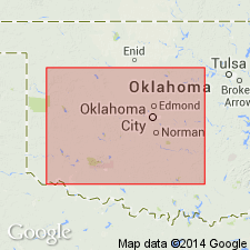
Pg. 1474. Day Creek dolomite. Which of the dolomite beds of lower part of Quartermaster formation is = Day Creek dolomite of northwest Oklahoma is open question.
Source: US geologic names lexicon (USGS Bull. 896, p. 576).

- Usage in publication:
-
- Day Creek dolomite*
- Modifications:
-
- Adopted
- AAPG geologic province:
-
- Anadarko basin
Summary:
Day Creek dolomite of Cimarron group in central southern Kansas, Day Creek dolomite of Woodward group in northwestern Oklahoma adopted by the USGS. Age is Permian.
Named from Day Creek, Clark Co., central southern KS.
Source: US geologic names lexicon (USGS Bull. 896, p. 576).
- Usage in publication:
-
- Day Creek dolomite*
- Modifications:
-
- Areal extent
- AAPG geologic province:
-
- Anadarko basin
- Las Animas arch
- Las Vegas-Raton basin
Summary:
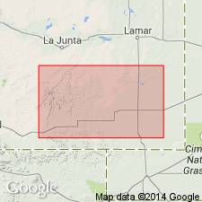
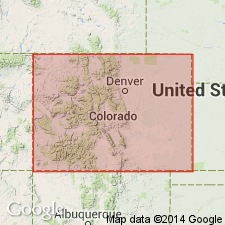
Extended into subsurface of Otero County, Colorado, on the Las Animas arch, Las Animas County, Colorado, in the Las Vegas-Raton basin, and Baca County, Colorado, in the Anadarko basin. Ranges from 14 to 40 feet thick. Correlates into part of Lykins formation. Overlies Whitehorse sandstone and underlies Taloga formation. Age is Permian (Guadalupian). Report includes correlation chart.
Source: Modified from GNU records (USGS DDS-6; Denver GNULEX).
- Usage in publication:
-
- Day Creek dolomite*
- Modifications:
-
- Areal extent
- AAPG geologic province:
-
- Anadarko basin
Summary:
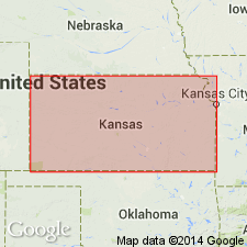
Pg. 37. Day Creek dolomite. Fine-grained dense dolomite about 2 feet thick in Kansas. Crops out in western Clark County; seemingly absent between northern part of T. 33 S., R. 24 W., and a point in Oklahoma near center of T. 25 N., R. 25 W., (Indian meridian). Overlies Whitehorse sandstone; underlies formation of Quartermaster group. Age is Permian.
Source: US geologic names lexicon (USGS Bull. 1200, p. 1053-1054).
- Usage in publication:
-
- Day Creek dolomite*
- Modifications:
-
- Areal extent
- AAPG geologic province:
-
- Anadarko basin
Summary:
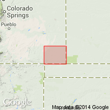
Pg. 81, 82 (fig. 23). Day Creek dolomite exposed in Baca County, Colorado, where it underlies Taloga formation. Age is Permian.
Source: US geologic names lexicon (USGS Bull. 1200, p. 1053-1054).
- Usage in publication:
-
- Day Creek dolomite member*
- Modifications:
-
- Revised
- Mapped 1:500k
Summary:
Mapped as Day Creek dolomite member of Cloud Chief formation.
Source: US geologic names lexicon (USGS Bull. 1200, p. 1053-1054).
- Usage in publication:
-
- Day Creek Dolomite*
- Modifications:
-
- Overview
- AAPG geologic province:
-
- Anadarko basin
Summary:
Day Creek Dolomite shown on correlation chart in eastern Colorado and western Kansas, Anadarko basin area. Day Creek correlates with the: 1) Alibates Dolomite Lentil of Quartermaster Formation, in northeast New Mexico; 2) South Canyon Creek Dolomite Member of State Bridge Formation, in central Colorado; 3) Forelle Limestone, in north-central Colorado and south-central Wyoming; and 4) Franson Member of Park City Formation, in northeast Utah. Age is late Early Permian (Wordian, early Guadalupian).
Source: Modified from GNU records (USGS DDS-6; Denver GNULEX).
For more information, please contact Nancy Stamm, Geologic Names Committee Secretary.
Asterisk (*) indicates published by U.S. Geological Survey authors.
"No current usage" (†) implies that a name has been abandoned or has fallen into disuse. Former usage and, if known, replacement name given in parentheses ( ).
Slash (/) indicates name conflicts with nomenclatural guidelines (CSN, 1933; ACSN, 1961, 1970; NACSN, 1983, 2005, 2021). May be explained within brackets ([ ]).

