- Usage in publication:
-
- Danby Lake Granite Gneiss*
- Modifications:
-
- Named
- Dominant lithology:
-
- Granite
- AAPG geologic province:
-
- Mojave basin
Summary:
Danby Lake Granite Gneiss of the Iron Mountains Intrusive Suite (new). Medium-grained, leucocratic muscovite-biotite monzogranite gneiss. Accessory zircon and sphene. Alignment of deformed and recrystallized micas, quartz, and feldspar produces distinct mylonitic foliation and lineation; S-C fabric indicates shear sense top to east-northeast. As mapped, tentatively includes similar gneissic granite in the eastern Granite Mountains. Intrudes and grades into the Iron Granodiorite Gneiss.
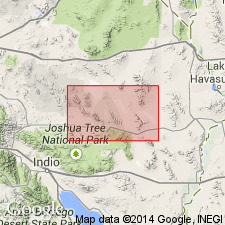
for Danby Lake in the southeast part of the Sheep Hole Mountains 30' x 60' quad, San Bernardino Co., CA. Is extensively exposed in the Iron Mountains. These rocks were previously called the granite gneiss of Iron Mountains by Miller and Howard (1985) and Howard and others (1989). Protolith and metamorphic ages are Late Cretaceous.
Source: GNU records (USGS DDS-6; Menlo GNULEX).
For more information, please contact Nancy Stamm, Geologic Names Committee Secretary.
Asterisk (*) indicates published by U.S. Geological Survey authors.
"No current usage" (†) implies that a name has been abandoned or has fallen into disuse. Former usage and, if known, replacement name given in parentheses ( ).
Slash (/) indicates name conflicts with nomenclatural guidelines (CSN, 1933; ACSN, 1961, 1970; NACSN, 1983, 2005, 2021). May be explained within brackets ([ ]).

