

- Usage in publication:
-
- Curry formation
- Modifications:
-
- Named
- Dominant lithology:
-
- Conglomerate
- Limestone
- Sandstone
- Siltstone
- AAPG geologic province:
-
- Wasatch uplift
- Great Basin province
Summary:
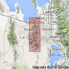
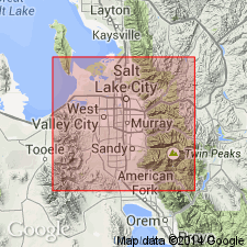
Named for Curry Peak near Dry Fork in the Bingham district. Type section is in sec 17, T4S, R5W, Tooele Co, UT, Great Basin province. Crops out near Markham and Curry Peaks in T3S, Rs2 and 3W, Salt Lake Co on Wasatch uplift and adjoining Tooele Co, Great Basin province. Geologic map. Cross section. Markham Peak is a reference locality. Unconformably overlies the newly named Bingham Mine formation, upper formation of Oquirrh group (rank raised). Unconformably underlies newly named Clinker formation. Has a ledge-forming basal chert pebble conglomerate. Pebbles in the conglomerate contain Pennsylvanian fossils: brachiopods, bryozoans, coral CHAETETES. Overlying part of Curry consists of dark gray, brown-weathering, very fine grained silty, thin-bedded, platy limestone, and tan to gray, brown-weathering, silty, very fine grained, calcareous, thin-bedded sandstone and siltstone. Invertebrate tracks and trails abundant on bedding plane surfaces. About 2,800 ft thick. Has the Wolfcampian TRITICITES, SCHWAGERINA, and PSEUDOSCHWAGERINA in black chert in upper 100 ft. Fusulinids in sandstone beds near base may also be Wolfcampian.
Source: GNU records (USGS DDS-6; Denver GNULEX).
- Usage in publication:
-
- Curry Peak Formation
- Modifications:
-
- Revised
- AAPG geologic province:
-
- Wasatch uplift
Summary:
Name changed from Curry to Curry Peak Formation so that the unit can be more closely identified with the source of its name. Is 1 of 5 units in the Bingham sequence. Overlies Bingham Mine Formation, upper formation of Oquirrh Group. Underlies the Freeman Peak Formation (a new name that replaces Clinker Formation). Exposures occur near top of Markham Peak, and on either side of Bingham Canyon, T3S, Rs2 and 3W, Salt Lake Co, UT, Wasatch uplift. Geologic map. Graphic section. Base and top marked by thin, discontinuous lens of tan chert pebble conglomerate and breccia. Principal lithologies are gray to tan calcareous sandstone and siltstone which weather to a tan punky rind, gray to tan quartzite and orthoquartzite. Has some interbedded silty limestone, calcareous sandstone and siltstone. Worm trails abundant. Distinguished from the underlying Bingham Mine by its abundant siltstone and sandstone, worm tracks and finely banded quartzite. Fossils (sparse) include fusulinids, poorly preserved gastropods and pelecypods, and some reworked fossils in the conglomerate. Early Permian age.
Source: GNU records (USGS DDS-6; Denver GNULEX).
For more information, please contact Nancy Stamm, Geologic Names Committee Secretary.
Asterisk (*) indicates published by U.S. Geological Survey authors.
"No current usage" (†) implies that a name has been abandoned or has fallen into disuse. Former usage and, if known, replacement name given in parentheses ( ).
Slash (/) indicates name conflicts with nomenclatural guidelines (CSN, 1933; ACSN, 1961, 1970; NACSN, 1983, 2005, 2021). May be explained within brackets ([ ]).