- Usage in publication:
-
- Crystal Creek Member
- Modifications:
-
- Named
- Dominant lithology:
-
- Sandstone
- Shale
- AAPG geologic province:
-
- Great Basin province
- Plateau sedimentary province
Summary:
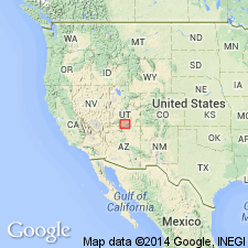
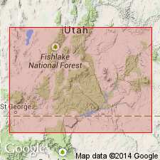
Named as a member of Carmel Formation of San Rafael Group for exposures between Deep Creek and Crystal Creek, T39S, R10W, Washington Co, UT, Great Basin province. These exposures are the measured type section. They have been mapped previously as Entrada Sandstone (Gregory, 1950; Averitt, 1962) and as banded member of Carmel (Cashion, 1967). Composed of 1) white to light-gray, red to brown, fine- to even-grained, well to loosely cemented, massive to poorly stratified sandstone with lesser amounts of 2) olive-green, calcareous, thin-bedded, brittle shale, 3) many lenticular beds of yellow-tan conglomerate of chert and quartzite pebbles, 4) red to chocolate siltstone, 5) white impure gypsum at type where it is 224 ft thick. Is 168 ft thick at head of Parunuweap Canyon. Overlies Kolob Limestone Member (new) of Carmel. Unconformably underlies Paria River Member (new) of Carmel. Present in Pine Valley Mountains and continuously east to the Hurricane fault from Cedar City to Skutumpah Creek. Also recognized east to T38S, R3W, Kane Co in the Plateau sedimentary province. Cross sections. [Age not specifically assigned, but probably is Middle Jurassic as is rest of Carmel.]
Source: GNU records (USGS DDS-6; Denver GNULEX).

- Usage in publication:
-
- Crystal Creek Member
- Modifications:
-
- Overview
- AAPG geologic province:
-
- Plateau sedimentary province
- Great Basin province
Summary:
Is one of four members of the Middle Jurassic Carmel Formation. Overlies Judd Hollow Member of Carmel. Underlies Paria River Member of Carmel. Present in the western sections: recognized in the Paria River area, Kane Co., UT and Coconino Co., AZ, in the Plateau sedimentary province; east of the Paria River, the member tongues out into the Thousand Pockets Tongue of the Page Sandstone; member extends westward in southwest UT, Great Basin province. Facies distribution map. Cross sections. Correlation chart. A red sandstone facies forms the entire Crystal Creek. This facies is chiefly red-brown and gray-orange sandstone and mudstone interbedded with granule-pebble conglomerate. The sandstone is very fine to coarse grained sublitharenite with iron oxide-sericite matrix and minor siliceous and calcareous cement. The conglomerate is principally of well-rounded weathered devitrified rhyolite tuff clasts which decrease in abundance westward. This facies is irregularly bedded and has several stratification clasts. Subtidal-shoreface beach environment suggested for sandstone facies. Storms were responsible for conglomerate beds.
Source: GNU records (USGS DDS-6; Denver GNULEX).
For more information, please contact Nancy Stamm, Geologic Names Committee Secretary.
Asterisk (*) indicates published by U.S. Geological Survey authors.
"No current usage" (†) implies that a name has been abandoned or has fallen into disuse. Former usage and, if known, replacement name given in parentheses ( ).
Slash (/) indicates name conflicts with nomenclatural guidelines (CSN, 1933; ACSN, 1961, 1970; NACSN, 1983, 2005, 2021). May be explained within brackets ([ ]).

