- Usage in publication:
-
- Crossville Sandstone member
- Modifications:
-
- Original reference
- Dominant lithology:
-
- Sandstone
- AAPG geologic province:
-
- Appalachian basin
Summary:
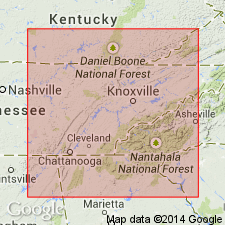
Pg. 37, 44 (table 3), 139. Crossville sandstone member of Duskin Creek formation. Light-gray fine- to medium-grained even-bedded sandstone; iron-stained, giving bands of pink, yellow, brown, and gray both on and across the bedding. Thickness about 39 feet. Occurs at top of Duskin Creek formation about 75 feet above Rockcastle sandstone. Known commercially as Crab Orchard sandstone, but name Crab Orchard preoccupied; hence, Crossville proposed. Age is Early Pennsylvanian (Pottsville).
[Type locality:] on Pigeon Ridge Road, northwest of Byrd Creek, near Cumberland Homesteads CCC Camp, about 6 mi south of Crossville, Cumberland Co., eastern TN.
Source: US geologic names lexicon (USGS Bull. 1200, p. 991); supplemental information from GNU records (USGS DDS-6; Reston GNULEX).

- Usage in publication:
-
- Crossville sandstone
- Modifications:
-
- Revised
- AAPG geologic province:
-
- Appalachian basin
Summary:
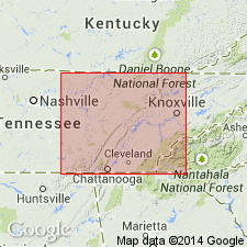
Pg. 6, 19, pls. 2, 3, 4. Crossville sandstone of Crooked Fork group. Rank raised to formation in Crooked Fork group (new). Thickness as much as 130 feet. In Morgan County, unit varies from a single thin sandstone to a bipartite or tripartite sandstone; only lower bench believed to represent the Crossville of the type area. Underlies Burnt Mill shale (new); overlies Dorton shale (new). Age is Early Pennsylvanian (Pottsville).
Source: US geologic names lexicon (USGS Bull. 1200, p. 991).

- Usage in publication:
-
- Crossville Sandstone
- Modifications:
-
- Areal extent
- AAPG geologic province:
-
- Appalachian basin
Summary:
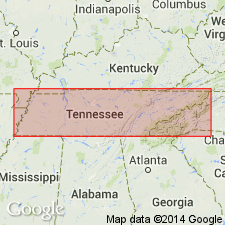
(East-central sheet; not separately mapped.) Crossville Sandstone of Crooked Fork Group. Gray to brown or pink, fine- to medium-grained, thinly and evenly bedded sandstone. Thickness 30 to 70 feet. Lies below Burnt Mill Shale and above Dorton Shale; both of Crooked Fork Group. Age is Pennsylvanian.
Source: Publication.

- Usage in publication:
-
- Crossville Sandstone
- Modifications:
-
- Overview
- AAPG geologic province:
-
- Appalachian basin
Summary:
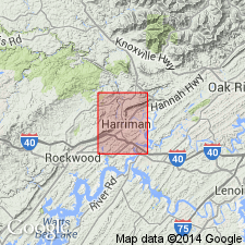
Crossville Sandstone of Crooked Fork Group mapped in Roane and Morgan Cos. of eastern TN. Unit consists of light-gray, very fine to fine-grained, very thin to medium-bedded sandstone, which weathers yellowish-gray. Thin bedding is predominant in upper third. Lower third typically thin- to medium-bedded, cross-bedded, and locally conglomeratic. Intervals throughout are interbedded and flasered with olive gray to olive-black silty shale. Shale locally near middle, well exposed along hwys east and west of Oakdale, is olive- to dark-gray with thin interbeds of sandstone. Where faulted, sandstone is microfractured into white, dense orthoquartzite. Thickness ranges from 120 to 220 ft in the Harriman quad. Overlies Dorton Shale and underlies Burnt Mill Shale, both of Crooked Fork Group. Age is Early Pennsylvanian.
Source: GNU records (USGS DDS-6; Reston GNULEX).
For more information, please contact Nancy Stamm, Geologic Names Committee Secretary.
Asterisk (*) indicates published by U.S. Geological Survey authors.
"No current usage" (†) implies that a name has been abandoned or has fallen into disuse. Former usage and, if known, replacement name given in parentheses ( ).
Slash (/) indicates name conflicts with nomenclatural guidelines (CSN, 1933; ACSN, 1961, 1970; NACSN, 1983, 2005, 2021). May be explained within brackets ([ ]).

