- Usage in publication:
-
- Crooked Fork group
- Modifications:
-
- Original reference
- Dominant lithology:
-
- Sandstone
- Shale
- Coal
- AAPG geologic province:
-
- Appalachian basin
Summary:
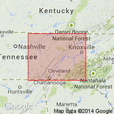
Pg. 1, 6, pls. 3, 4, 6. Crooked Fork group. Includes all strata between top of Crab Orchard Mountains group (new) and base of Slatestone group (new). Consists of alternating sequence of three sandstones and three shales. Northwest of type area, upper and lower sandstones converge so that in northern part of Barthell Southwest quadrangle group is essentially thick conglomerate overlying Rockcastle conglomerate. Thickness at type locality 360 feet; on Cumberland block 150 to 330 feet. Includes (ascending) Dorton shale (new), Crossville sandstone, Burnt Mill shale (new), Coalfield sandstone (new), Glenmary shale (new), and Wartburg sandstone. Rex coal present near base and Poplar Creek coal at top. Age is Early Pennsylvanian (Pottsville).
Type section: southeastward from Wartburg and along Crooked Fork, Morgan Co., eastern TN.
Source: US geologic names lexicon (USGS Bull. 1200, p. 988).

- Usage in publication:
-
- Crooked Fork Group
- Modifications:
-
- Mapped
- AAPG geologic province:
-
- Appalachian basin
Summary:
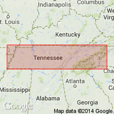
(East-central and East sheets.) Crooked Fork Group. In east-central Tennessee, consists of shale, sandstone, conglomerate, siltstone, and coal; thickness 320 to 455 feet. In eastern Tennesse, consists of shale, sandstone, siltstone, and thin coals; thickness 200 to 450 feet. Includes (descending) Wartburg Sandstone, Glenmary Shale, Coalfield Sandstone, Burnt Mill Shale , Crossville Sandstone, and Dorton Shale. Lies below Slatestone Formation and above Crab Orchard Mountains Group. Age is Pennsylvanian.
Source: Publication.

- Usage in publication:
-
- Crooked Fork Group
- Modifications:
-
- Overview
- AAPG geologic province:
-
- Appalachian basin
Summary:
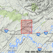
Crooked Fork Group mapped in Roane and Morgan Cos., eastern TN. Includes (ascending) Dorton Shale (15-110 ft), Crossville Sandstone (120-220 ft), Burnt Mill Shale (50-100 ft), Coalfield Sandstone (30-60 ft), Glenmary Shale (120-260 ft), and Wartburg Sandstone (up to 120 ft). Overlies Rockcastle Conglomerate of Crab Orchard Mountains Group. Age is Early Pennsylvanian.
Source: GNU records (USGS DDS-6; Reston GNULEX).

- Usage in publication:
-
- Crooked Fork Group*
- Modifications:
-
- Revised
- AAPG geologic province:
-
- Appalachian basin
Summary:
Crooked Fork Group in TN includes all strata between top of Rockcastle Conglomerate of Crab Orchard Mountains Group and top of Poplar Creek coal. Includes Dorton Shale, Crossville Sandstone, Burnt Mill Shale, Coalfield Sandstone, Glenmary Shale, and Wartburg Sandstone. Includes part of strata previously assigned to Hance Formation (herein abandoned).
Source: GNU records (USGS DDS-6; Reston GNULEX).
For more information, please contact Nancy Stamm, Geologic Names Committee Secretary.
Asterisk (*) indicates published by U.S. Geological Survey authors.
"No current usage" (†) implies that a name has been abandoned or has fallen into disuse. Former usage and, if known, replacement name given in parentheses ( ).
Slash (/) indicates name conflicts with nomenclatural guidelines (CSN, 1933; ACSN, 1961, 1970; NACSN, 1983, 2005, 2021). May be explained within brackets ([ ]).

