

- Usage in publication:
-
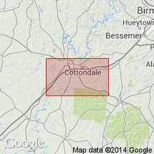
- Cottondale formation*
- Modifications:
-
- Named
- Dominant lithology:
-
- Sand
- Clay
- AAPG geologic province:
-
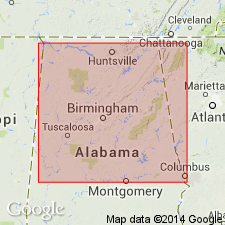
- Black Warrior basin
Summary:
Cottondale formation comprises the apparently nonmarine gravelly sand and carbonaceous clay that lies between the Paleozoic basement and the overlying marine Eoline formation (new). Sand and clay members vary in thickness though most outcrops show 25 to 50 ft of gravelly sand overlain by a few feet of carbonaceous clay. Sand is cross bedded and coarse to fine grained. Gravel is present in lower half, chiefly as thin stringers, but toward base is abundant enough to form beds. Clay typically forms one or two layers at top, but locally occupies entire thickness of formation. Upper part of clay locally lignitic. Thickness 20 to 100 ft. Topographic irregularities on Paleozoic floor cause corresponding differences in thickness of formation. Upper contact of formation locally sharp, but in some places it appears to be gradational Flora indicates Late Cretaceous age.
Source: GNU records (USGS DDS-6; Reston GNULEX).
- Usage in publication:
-
- Cottondale formation*
- Modifications:
-
- Overview
- AAPG geologic province:
-
- Black Warrior basin
Summary:
Unit is commonly 25 to 75 ft of cross-bedded slightly micaceous sand, which is coarser or even gravelly at base and is overlain by 2 to 8 ft of carbonaceous or lignitic clay. At many places dark-gray and purple clays are interbedded with the sand. At some places, entire interval is represented by dark-gray to purple clay as much as 50 to 60 ft thick. Type locality designated.
Source: GNU records (USGS DDS-6; Reston GNULEX).
- Usage in publication:
-
- Cottondale†
- Modifications:
-
- Abandoned
- AAPG geologic province:
-
- Black Warrior basin
Summary:
Name Cottondale abandoned. Sediments heretofore designated Cottondale are included in the Eoline, which is here reduced to member status in the Coker formation (revised).
Source: GNU records (USGS DDS-6; Reston GNULEX).
For more information, please contact Nancy Stamm, Geologic Names Committee Secretary.
Asterisk (*) indicates published by U.S. Geological Survey authors.
"No current usage" (†) implies that a name has been abandoned or has fallen into disuse. Former usage and, if known, replacement name given in parentheses ( ).
Slash (/) indicates name conflicts with nomenclatural guidelines (CSN, 1933; ACSN, 1961, 1970; NACSN, 1983, 2005, 2021). May be explained within brackets ([ ]).