

- Usage in publication:
-
- Corsicana marl*
- Modifications:
-
- Original reference
- Dominant lithology:
-
- Marl
- AAPG geologic province:
-
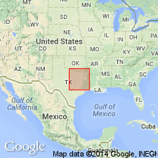
- East Texas basin
Summary:
Pg. 342-343. Corsicana beds of Navarro formation. Fine, brown, sandy marl, with occasional bands of hard calcareous sandstone in upper part. Included in upper part of Navarro formation. Underlies Kemp clay bed of Navarro formation. Extends from Sulphur River, Delta County, to the Brazos, northeastern Texas. [According to L.W. Stephenson (Univ. Texas Bull., no. 3232, p. 516, 1933) this unit probably included (ascending) EXOGYRA CANCELLATA zone (Neylandville marl of Stephenson), Nacatoch sand, and the chalky marl (Corsicana marl restricted of Stephenson).] Age is Late Cretaceous (Gulf).
Source: US geologic names lexicon (USGS Bull. 896, p. 527).
For more information, please contact Nancy Stamm, Geologic Names Committee Secretary.
Asterisk (*) indicates published by U.S. Geological Survey authors.
"No current usage" (†) implies that a name has been abandoned or has fallen into disuse. Former usage and, if known, replacement name given in parentheses ( ).
Slash (/) indicates name conflicts with nomenclatural guidelines (CSN, 1933; ACSN, 1961, 1970; NACSN, 1983, 2005, 2021). May be explained within brackets ([ ]).