- Usage in publication:
-
- Corry sandstone
- Modifications:
-
- Named
- Dominant lithology:
-
- Sandstone
- AAPG geologic province:
-
- Appalachian basin
Summary:
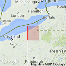
Corry sandstone (new name) described as yellowish white or buff gray sandstone, compact and fine-grained. At one or two places some pebbles. Thickness 20 ft. Quarried about 1 mi south of Corry, Erie Co., PA. Top formation of Oil Lake group. Overlies Cussewago Upper Shales and underlies Orangeville shale. Corry and Cussewago probably equivalent to Berea sandstone of OH.
Source: GNU records (USGS DDS-6; Reston GNULEX).
- Usage in publication:
-
- Corry sandstone*
- Modifications:
-
- Overview
- AAPG geologic province:
-
- Appalachian basin
Summary:
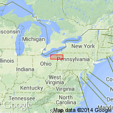
At type locality, Corry consists of about 20 ft of gray and white siltstone and some interbedded fine-grained sandstone. At many places, the Corry can be separated into three units: lower of massively bedded siltstones and fine-grained sandstone; medial of thinner bedded siltstones intercalated in silty mudrock and silty shale; and upper of massive siltstones separated by some thin shaly partings. Westward from type locality, the Corry thins and in area between Riceville and Strand School, grades laterally into Shellhammer Hollow formation (new). Throughout most of outcrop, overlies Riceville shale with a conformable contact. Underlies Orangeville shale (Hungry Run sandstone member, new, or Bartholomew siltstone member, new). The Corry can be considered an eastward facies of the Berea sandstone. Age is Mississippian.
Source: GNU records (USGS DDS-6; Reston GNULEX).
- Usage in publication:
-
- Corry Sandstone
- Modifications:
-
- Overview
- AAPG geologic province:
-
- Appalachian basin
Summary:
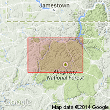
Corry is excellent key bed, easily identified in outcrop and subsurface. Ranges from 10 to 35 ft thick, thinner where it overlies the Knapp Formation. At its thickest, unit is actually two sandstones separated by shale. The lower sandstone is the more persistent and widespread. It is 8 to 20 ft thick and consists of well-indurated, flaggy to slabby, locally cross-bedded, clean, calcareous silt and very fine grained, light-gray or yellowish-gray fossiliferous sandstone. Contains shale chips or quartz pebbles toward its base. Middle unit is 5 to 10 ft of gray or greenish-gray, thin-bedded siltstone, silt shale, and clay shale. Lower sandstone is 5 to 15 ft of well-indurated, slabby, locally cross-bedded, clean, locally pebbly, very fine to medium-grained, light-gray or yellowish-gray sandstone. Stratigraphic relationships between Corry and Knapp have been debated. Some workers believe that the Corry grades laterally into the upper part of the Knapp as depicted on the Stratigraphic correlation chart of Pennsylvania (Berg and others, 1986). Author argues that Corry overlies the Knapp and bases this on his recent unpublished correlation study using gamma-ray logs. In the western part of the study area, the Corry overlies unnamed mixed clastics. Underlies the Cuyahoga Formation. Interpreted as shoreface and foreshore deposits. Because of renewed uncertainty as to the position of the Devonian/Mississippian boundary, the Corry-Knapp interval is considered Late Devonian or Early Mississippian in this paper.
Source: GNU records (USGS DDS-6; Reston GNULEX).
- Usage in publication:
-
- Corry Sandstone
- Modifications:
-
- Age modified
- Biostratigraphic dating
- AAPG geologic province:
-
- Appalachian basin
Summary:
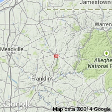
The presence of CYRTOSPIRIFER Nalivkin in the Corry Sandstone in Drake Well, Titusville, PA, and the absence of PARAPHORHYNCHUS Weller firmly establishes the age of the Corry as Late Devonian --not Mississippian.
Source: GNU records (USGS DDS-6; Reston GNULEX).
- Usage in publication:
-
- Corry Sandstone
- Modifications:
-
- Age modified
- AAPG geologic province:
-
- Appalachian basin
Summary:
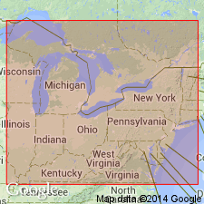
Boundary between the rocks of the Mississippian and Devonian periods in PA was changed in 1992 because of a growing list of paleontological evidence. The Berea, Corry, and Knapp are now considered Late Devonian by the Pennsylvania Geological Survey.
Source: GNU records (USGS DDS-6; Reston GNULEX).
For more information, please contact Nancy Stamm, Geologic Names Committee Secretary.
Asterisk (*) indicates published by U.S. Geological Survey authors.
"No current usage" (†) implies that a name has been abandoned or has fallen into disuse. Former usage and, if known, replacement name given in parentheses ( ).
Slash (/) indicates name conflicts with nomenclatural guidelines (CSN, 1933; ACSN, 1961, 1970; NACSN, 1983, 2005, 2021). May be explained within brackets ([ ]).

