- Usage in publication:
-
- Cornwall shale
- Modifications:
-
- Original reference
- Dominant lithology:
-
- Shale
- AAPG geologic province:
-
- Appalachian basin
Summary:
Pg. 39-54. Cornwall shale. Replaces Monroe shales of Darton, because that name is preoccuppied in Michigan. Consists of 200 feet of dark-gray slaty shales; in places pronounced slaty cleavage is shown. Of Hamilton age [Middle Devonian]. Rests on Oriskany quartzite in New York, the relations of which to Newfoundland grit (which underlies the Monroe shales in New Jersey) is not yet established. [This underlying formation is now called Kanouse sandstone, in both New York and New Jersey.] Eckel's use of Cornwall limestones not considered valid.
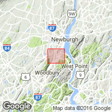
Named from occurrence at Cornwall, Orange Co., NY.
Source: US geologic names lexicon (USGS Bull. 896, p. 524).

- Usage in publication:
-
- Cornwall shale*
- Modifications:
-
- Overview
- AAPG geologic province:
-
- Appalachian basin
Summary:
In New Jersey the name "Monroe shales" was replaced by Pequanac shale in 1908 (USGS Franklin Furnace folio, no. 161), but Pequanac was discarded in 1914 (Raritan folio, no. 191), in favor of the older name Cornwall shale.
Source: US geologic names lexicon (USGS Bull. 896, p. 524).

- Usage in publication:
-
- Cornwall Shale*
- Modifications:
-
- Overview
- AAPG geologic province:
-
- Piedmont-Blue Ridge province
Summary:
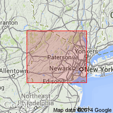
The Cornwall Shale in the Green Pond Mountain region of northern NJ consists of black to dark-gray, very-thin- to thick-bedded, fissile, fossiliferous shale, interbedded with medium-gray and light-olive-gray to yellowish gray, laminated to very-thin-bedded siltstone that increases in upper part of unit. Thickness is 290 meters. Conformably overlies the Kanouse Sandstone and conformably underlies the Bellvale Sandstone. The Cornwall is of Middle Devonian age.
Source: GNU records (USGS DDS-6; Reston GNULEX).
For more information, please contact Nancy Stamm, Geologic Names Committee Secretary.
Asterisk (*) indicates published by U.S. Geological Survey authors.
"No current usage" (†) implies that a name has been abandoned or has fallen into disuse. Former usage and, if known, replacement name given in parentheses ( ).
Slash (/) indicates name conflicts with nomenclatural guidelines (CSN, 1933; ACSN, 1961, 1970; NACSN, 1983, 2005, 2021). May be explained within brackets ([ ]).

