

- Usage in publication:
-
- Coosawhatchie clay
- Modifications:
-
- Named
- Dominant lithology:
-
- Clay
- AAPG geologic province:
-
- Atlantic Coast basin
Summary:
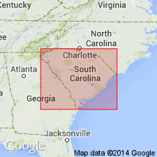
Named as an informal part of Hawthorn Formation. Named for community of Coosawhatchie, Jasper Co., eastern SC. Occurs in Atlantic Coast Line Railroad cut south of Coosawhatchie and at Dawsons Landing on Coosawhatchie River. Is a distinctive clay unit at top of Hawthorn. Consists almost wholly of montmorillonite and was probably included in Sloan's (1907, 1908) Parachucla phase. Thickness is about 15 ft near type locality. Age is Miocene.
Source: GNU records (USGS DDS-6; Reston GNULEX).
- Usage in publication:
-
- Coosawhatchie Formation
- Modifications:
-
- Revised
- AAPG geologic province:
-
- Atlantic Coast basin
- South Georgia sedimentary province
- Florida platform
Summary:
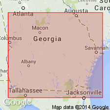
The Coosawhatchie is formally recognized as a formation within the Hawthorn Group in this report because of its distinctive lithology and widespread occurrence in SC, GA, and northeastern FL. Exposures at Dawsons Landing on the Coosawhatchie River are here designated as the type locality. The unit-stratotype is that section of the formation exposed in the low bluff at Dawsons Landing, 1.5 mi south of Coosawhatchie, Jasper Co., SC, where only 13 ft of the unit are exposed. Unit reaches its maximum known thickness of 284 ft in core on Cumberland Island in Camden Co., extreme southeast GA. The Coosawhatchie is divided into five formal members: the Tybee Phosphorite (new name), the Berryville Clay (new name), the Ebenezer (new name), the Meigs (new name), and the Charlton Members. Disconformably or paraconformably overlies the Marks Head Formation in GA, and paraconformably overlies the Cooper Formation on the outer continental shelf. Generally disconformably underlies the Cypresshead Formation (new name) in GA, but locally disconformably underlies the Raysor Formation, unnamed Pliocene shelly sand, Wabasso beds (informal), or Satilla Formation. Age is middle Miocene (early Serravallian) based on Foraminifera.
Source: GNU records (USGS DDS-6; Reston GNULEX).
- Usage in publication:
-
- Coosawhatchie Formation
- Modifications:
-
- Reference
- Overview
- AAPG geologic province:
-
- Florida platform
Summary:
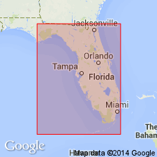
Coosawhatchie Formation is the upper unit of the Hawthorn Group in much of northern FL where it is subdivided into the Charlton Member and informal upper and lower members. A reference section is designated in the Harris #1 core, W-13769, Clay Co. (SW1/4SE1/4 sec. 78, T6S, R25E). Interval is between -23 m and +11 m. Disconformably overlies Marks Head Formation. In most places, unconformably underlies undifferentiated post-Hawthorn sands, clays, shell beds and occasional limestones. In Hamilton and Columbia Cos., and a small portion of Baker Co., Coosawhatchie underlies and interfingers with the Statenville Formation. Thought to correlate with the lower portion of the Intracoastal Limestone in the Apalachicola Embayment and the lower Shoal River Formation in the FL panhandle. Appears to correlate with the lower part of the Peace River Formation (new name) in southern FL.
Source: GNU records (USGS DDS-6; Reston GNULEX).
- Usage in publication:
-
- Coosawhatchie Formation*
- Modifications:
-
- Revised
- AAPG geologic province:
-
- Atlantic Coast basin
Summary:
Coosawhatchie Clay Member of Hawthorn Formation is here redefined to include underlying or laterally detached sand beds of the same age in SC and is raised in rank to Coosawhatchie Formation. The use of the name Hawthorn is discouraged in SC. Age is middle Miocene.
Source: GNU records (USGS DDS-6; Reston GNULEX).
For more information, please contact Nancy Stamm, Geologic Names Committee Secretary.
Asterisk (*) indicates published by U.S. Geological Survey authors.
"No current usage" (†) implies that a name has been abandoned or has fallen into disuse. Former usage and, if known, replacement name given in parentheses ( ).
Slash (/) indicates name conflicts with nomenclatural guidelines (CSN, 1933; ACSN, 1961, 1970; NACSN, 1983, 2005, 2021). May be explained within brackets ([ ]).